25 Breezy Corners Ln Moultonborough, NH 03254
Estimated Value: $591,000 - $2,850,000
4
Beds
4
Baths
3,198
Sq Ft
$684/Sq Ft
Est. Value
About This Home
This home is located at 25 Breezy Corners Ln, Moultonborough, NH 03254 and is currently estimated at $2,188,128, approximately $684 per square foot. 25 Breezy Corners Ln is a home with nearby schools including Moultonborough Central School and Moultonborough Academy High School.
Ownership History
Date
Name
Owned For
Owner Type
Purchase Details
Closed on
Sep 26, 2019
Sold by
Odonald Jay R and Odonald Louise D
Bought by
Cassler Todd J and Cassler Colleen M
Current Estimated Value
Home Financials for this Owner
Home Financials are based on the most recent Mortgage that was taken out on this home.
Original Mortgage
$365,000
Outstanding Balance
$320,410
Interest Rate
3.6%
Mortgage Type
New Conventional
Estimated Equity
$1,867,718
Create a Home Valuation Report for This Property
The Home Valuation Report is an in-depth analysis detailing your home's value as well as a comparison with similar homes in the area
Home Values in the Area
Average Home Value in this Area
Purchase History
| Date | Buyer | Sale Price | Title Company |
|---|---|---|---|
| Cassler Todd J | $1,265,000 | -- |
Source: Public Records
Mortgage History
| Date | Status | Borrower | Loan Amount |
|---|---|---|---|
| Open | Cassler Todd J | $365,000 |
Source: Public Records
Tax History Compared to Growth
Tax History
| Year | Tax Paid | Tax Assessment Tax Assessment Total Assessment is a certain percentage of the fair market value that is determined by local assessors to be the total taxable value of land and additions on the property. | Land | Improvement |
|---|---|---|---|---|
| 2024 | $12,928 | $2,288,200 | $1,661,300 | $626,900 |
| 2023 | $11,825 | $2,074,500 | $1,484,500 | $590,000 |
| 2022 | $8,577 | $1,794,400 | $1,290,600 | $503,800 |
| 2021 | $9,977 | $1,429,400 | $993,000 | $436,400 |
| 2020 | $9,224 | $1,293,700 | $896,100 | $397,600 |
| 2019 | $8,587 | $1,201,000 | $872,300 | $328,700 |
| 2018 | $8,214 | $1,064,000 | $747,600 | $316,400 |
| 2017 | $8,480 | $1,031,600 | $747,600 | $284,000 |
| 2016 | $8,463 | $968,300 | $722,800 | $245,500 |
| 2015 | $8,523 | $945,900 | $722,800 | $223,100 |
| 2014 | $8,226 | $928,400 | $722,800 | $205,600 |
| 2013 | $8,068 | $928,400 | $722,800 | $205,600 |
Source: Public Records
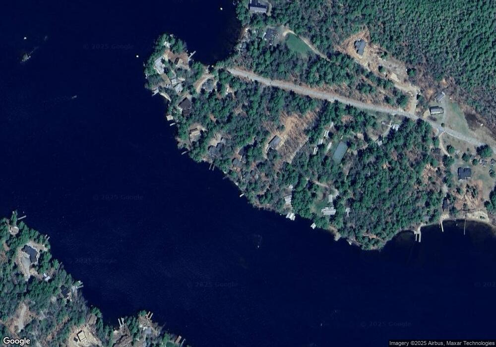
Map
Nearby Homes
- 27 First Point Rd
- 21 Orton Ln
- 11 Geery Ln
- 122-001-002 Governor Wentworth Hwy
- 7 Lady Slipper Ln
- 41 Saint Gallen St
- 72 Sundorf St
- 122-1 Gwh Hwy
- 9 Lady Slipper Ln
- 00 Sundorf St Unit 117
- 00 Grande St Unit 44
- 0 States Landing Rd Unit 4
- 5 Ferry Rd
- 244 Wentworth Shores Rd
- 22 Sundorf St
- 7 Eden Ln
- 538 Governor Wentworth Hwy
- 31 Rays Way
- 16 Buckingham Terrace
- 29 Kona Farm Rd
- 29 Breezy Corners Ln
- 21 Breezy Corners Ln
- 31 Black Point Rd
- 8 Black Point Rd
- 35 Black Point Rd
- 1 Point Dr
- 15 Black Point Rd
- 16 Blackbird Ln
- 8 Point Dr
- 16 Black Point Rd
- 11 Black Point Rd
- 20 Point Dr
- 16 Oscar Trail
- 14 Black Point Rd
- 9 Black Point Rd
- 51 Cottage Rd
- 47 Cottage Rd
- 10 Black Point Rd
- 10 Black Point Rd
- 14 Oscar Trail