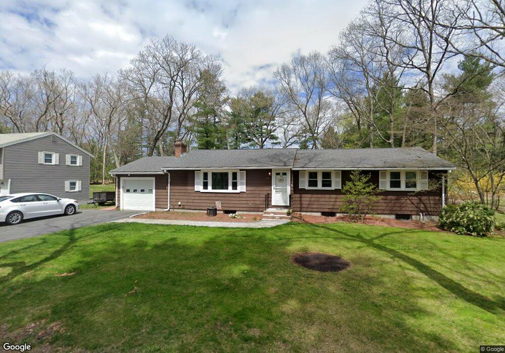
25 Eaton Rd Framingham, MA 01701
Nobscot NeighborhoodEstimated Value: $669,000 - $722,355
4
Beds
2
Baths
1,323
Sq Ft
$527/Sq Ft
Est. Value
About This Home
This home is located at 25 Eaton Rd, Framingham, MA 01701 and is currently estimated at $697,089, approximately $526 per square foot. 25 Eaton Rd is a home located in Middlesex County with nearby schools including Framingham High School and MetroWest Jewish Day School.
Ownership History
Date
Name
Owned For
Owner Type
Purchase Details
Closed on
Aug 25, 2015
Sold by
Cantin Prudence L Est and Cantin
Bought by
Dunn Danielle A and Lubs Matthew C
Current Estimated Value
Home Financials for this Owner
Home Financials are based on the most recent Mortgage that was taken out on this home.
Original Mortgage
$339,450
Outstanding Balance
$268,063
Interest Rate
4.07%
Mortgage Type
New Conventional
Estimated Equity
$429,026
Purchase Details
Closed on
Aug 18, 1995
Sold by
Coleman Robert M
Bought by
Olsen Beth A
Home Financials for this Owner
Home Financials are based on the most recent Mortgage that was taken out on this home.
Original Mortgage
$55,000
Interest Rate
7.61%
Mortgage Type
Purchase Money Mortgage
Create a Home Valuation Report for This Property
The Home Valuation Report is an in-depth analysis detailing your home's value as well as a comparison with similar homes in the area
Home Values in the Area
Average Home Value in this Area
Purchase History
| Date | Buyer | Sale Price | Title Company |
|---|---|---|---|
| Dunn Danielle A | $365,000 | -- | |
| Dunn Danielle A | $365,000 | -- | |
| Olsen Beth A | $147,000 | -- | |
| Olsen Beth A | $147,000 | -- |
Source: Public Records
Mortgage History
| Date | Status | Borrower | Loan Amount |
|---|---|---|---|
| Open | Dunn Danielle A | $339,450 | |
| Closed | Dunn Danielle A | $339,450 | |
| Previous Owner | Olsen Beth A | $55,000 |
Source: Public Records
Tax History Compared to Growth
Tax History
| Year | Tax Paid | Tax Assessment Tax Assessment Total Assessment is a certain percentage of the fair market value that is determined by local assessors to be the total taxable value of land and additions on the property. | Land | Improvement |
|---|---|---|---|---|
| 2025 | $7,383 | $618,300 | $271,100 | $347,200 |
| 2024 | $7,273 | $583,700 | $242,200 | $341,500 |
| 2023 | $6,891 | $526,400 | $216,100 | $310,300 |
| 2022 | $6,535 | $475,600 | $196,100 | $279,500 |
| 2021 | $6,345 | $451,600 | $188,500 | $263,100 |
| 2020 | $6,398 | $427,100 | $171,300 | $255,800 |
| 2019 | $6,229 | $405,000 | $171,300 | $233,700 |
| 2018 | $6,105 | $374,100 | $164,900 | $209,200 |
| 2017 | $5,975 | $357,600 | $160,100 | $197,500 |
| 2016 | $5,556 | $319,700 | $160,100 | $159,600 |
| 2015 | $5,358 | $300,700 | $160,700 | $140,000 |
Source: Public Records
Map
Nearby Homes
- 84 Hopestill Brown Rd
- 14 Eisenhower Rd
- 0 Wagonwheel Rd
- 63 Landham Rd
- 14 Francine Rd
- 13 Edith Rd
- 11 Edith Rd
- 91 Eaton Rd W
- 53 Davidson Rd
- 24 Pinewood Dr
- 19 Nob Hill Dr
- 82 Joseph Rd
- 40 Gregory Rd
- 81 Nicholas Rd Unit B
- 19 Park Ave
- 32 Eaton Rd W
- 71 Nicholas Rd Unit H
- 163 Water St
- 41 James St
- 78 Apple d or Rd