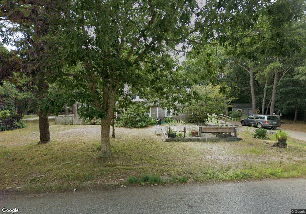
25 N Sunken Meadow Rd Eastham, MA 02642
Estimated Value: $534,000 - $756,000
3
Beds
1
Bath
1,001
Sq Ft
$634/Sq Ft
Est. Value
About This Home
This home is located at 25 N Sunken Meadow Rd, Eastham, MA 02642 and is currently estimated at $635,109, approximately $634 per square foot. 25 N Sunken Meadow Rd is a home located in Barnstable County with nearby schools including Eastham Elementary School, Nauset Regional Middle School, and Nauset Regional High School.
Ownership History
Date
Name
Owned For
Owner Type
Purchase Details
Closed on
Oct 26, 2001
Sold by
Lutter Yvonne and Carter Catherine
Bought by
Keene Selma K
Current Estimated Value
Home Financials for this Owner
Home Financials are based on the most recent Mortgage that was taken out on this home.
Original Mortgage
$161,250
Interest Rate
6.86%
Mortgage Type
Purchase Money Mortgage
Create a Home Valuation Report for This Property
The Home Valuation Report is an in-depth analysis detailing your home's value as well as a comparison with similar homes in the area
Home Values in the Area
Average Home Value in this Area
Purchase History
| Date | Buyer | Sale Price | Title Company |
|---|---|---|---|
| Keene Selma K | $215,000 | -- |
Source: Public Records
Mortgage History
| Date | Status | Borrower | Loan Amount |
|---|---|---|---|
| Open | Keene Selma K | $239,950 | |
| Closed | Keene Selma K | $28,000 | |
| Closed | Keene Selma K | $161,250 |
Source: Public Records
Tax History Compared to Growth
Tax History
| Year | Tax Paid | Tax Assessment Tax Assessment Total Assessment is a certain percentage of the fair market value that is determined by local assessors to be the total taxable value of land and additions on the property. | Land | Improvement |
|---|---|---|---|---|
| 2025 | $3,907 | $506,700 | $261,000 | $245,700 |
| 2024 | $3,449 | $492,000 | $253,400 | $238,600 |
| 2023 | $3,202 | $442,200 | $234,700 | $207,500 |
| 2022 | $2,890 | $336,800 | $188,600 | $148,200 |
| 2021 | $2,812 | $306,300 | $171,400 | $134,900 |
| 2020 | $2,627 | $301,300 | $174,900 | $126,400 |
| 2019 | $2,414 | $292,600 | $169,800 | $122,800 |
| 2018 | $2,374 | $284,300 | $164,900 | $119,400 |
| 2017 | $2,203 | $278,800 | $161,700 | $117,100 |
| 2016 | $1,992 | $267,800 | $152,700 | $115,100 |
| 2015 | $1,857 | $261,600 | $149,700 | $111,900 |
Source: Public Records
Map
Nearby Homes
- 95 Toland Dr
- 160 Toland Dr
- 125 Wamsutta Rd
- 495 Aspinet Rd
- 1460 Massasoit Rd
- 1285 Massasoit Rd
- 5470 State Hwy
- 50 Silver Oak Rd
- 100 Gigi Ln
- 140 Harvest Rd
- 115 Sparrowhawk Ln
- 11 Whelpley Rd
- 72 Dory Ln
- 35 Old County Rd Unit 1
- 49 Village Ln
- 30 Mayflower Rd
- 46 Spring Brook Rd
- 255 Massasoit Rd
- 1895 Nauset Rd
- 100 Orchard Dr
- 260 Aspinet Rd
- 20 N Sunken Meadow Rd
- 55 N Sunken Meadow Rd
- 40 N Sunken Meadow Rd
- 215 Aspinet Rd
- 25 Toland Dr
- 190 Aspinet Rd
- 195 Aspinet Rd
- 75 N Sunken Meadow Rd
- 2 Quarterboard Ln
- 280 Aspinet Rd
- 210 Quail Cover Ln
- 3 Striper Ave
- 230 Quail Cover Ln
- 30 Toland Dr
- 45 Toland Dr
- 4 Quarterboard Ln
- 165 Aspinet Rd
- 35 Leeward Way
- 40 Wamsutta Rd