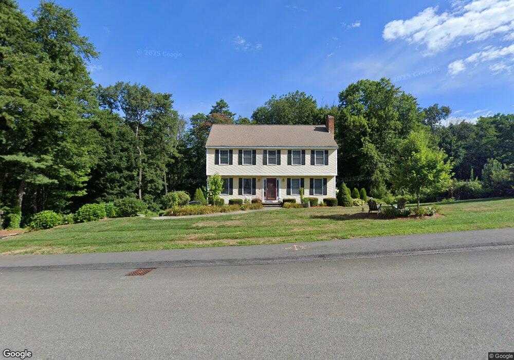
25 Otsego Dr Hudson, MA 01749
Estimated Value: $739,420 - $868,000
4
Beds
3
Baths
2,139
Sq Ft
$370/Sq Ft
Est. Value
About This Home
This home is located at 25 Otsego Dr, Hudson, MA 01749 and is currently estimated at $791,855, approximately $370 per square foot. 25 Otsego Dr is a home located in Middlesex County with nearby schools including David J. Quinn Middle School, Hudson High School, and Darnell School For Educational & Behavioral Service.
Ownership History
Date
Name
Owned For
Owner Type
Purchase Details
Closed on
Feb 11, 2011
Sold by
Frey Calre G and Frey Timothy J
Bought by
Frey Calre G
Current Estimated Value
Purchase Details
Closed on
Oct 28, 1991
Sold by
Prudential Home Mtg Co
Bought by
Byrne Phyllis T
Home Financials for this Owner
Home Financials are based on the most recent Mortgage that was taken out on this home.
Original Mortgage
$47,000
Interest Rate
8.98%
Mortgage Type
Purchase Money Mortgage
Purchase Details
Closed on
Jul 18, 1990
Sold by
Porter Lisa J
Bought by
Sanders Steve A
Create a Home Valuation Report for This Property
The Home Valuation Report is an in-depth analysis detailing your home's value as well as a comparison with similar homes in the area
Home Values in the Area
Average Home Value in this Area
Purchase History
| Date | Buyer | Sale Price | Title Company |
|---|---|---|---|
| Frey Calre G | -- | -- | |
| Frey Calre G | -- | -- | |
| Byrne Phyllis T | $50,000 | -- | |
| Sanders Steve A | $225,000 | -- |
Source: Public Records
Mortgage History
| Date | Status | Borrower | Loan Amount |
|---|---|---|---|
| Previous Owner | Sanders Steve A | $50,000 | |
| Previous Owner | Sanders Steve A | $16,000 | |
| Previous Owner | Sanders Steve A | $47,000 |
Source: Public Records
Tax History Compared to Growth
Tax History
| Year | Tax Paid | Tax Assessment Tax Assessment Total Assessment is a certain percentage of the fair market value that is determined by local assessors to be the total taxable value of land and additions on the property. | Land | Improvement |
|---|---|---|---|---|
| 2025 | $9,684 | $697,700 | $219,100 | $478,600 |
| 2024 | $9,240 | $660,000 | $199,300 | $460,700 |
| 2023 | $8,424 | $577,000 | $191,600 | $385,400 |
| 2022 | $8,035 | $506,600 | $174,300 | $332,300 |
| 2021 | $7,643 | $460,700 | $165,900 | $294,800 |
| 2020 | $7,491 | $451,000 | $162,500 | $288,500 |
| 2019 | $7,093 | $416,500 | $162,500 | $254,000 |
| 2018 | $7,054 | $403,100 | $154,800 | $248,300 |
| 2017 | $6,993 | $399,600 | $147,400 | $252,200 |
| 2016 | $6,513 | $376,700 | $147,400 | $229,300 |
| 2015 | $6,278 | $363,500 | $147,400 | $216,100 |
| 2014 | $6,022 | $345,700 | $129,800 | $215,900 |
Source: Public Records
Map
Nearby Homes
- 1 Rotherham Way Unit B
- 48 Jewell Rd Unit Lot 6
- 46 Jewell Rd Unit Lot 5
- 44 Jewell Rd Unit Lot 4
- 30 Jewell Rd Unit Lot 2
- 36 Jewell Rd Unit Lot 3
- 129 Fort Meadow Dr
- 18 Collins Dr
- 0 Washington St
- 243 Washington St
- 656 Bolton St
- 3 Townsend Rd
- 44 Stevens Rd
- 18 Amory Rd
- 57 Paquin Dr
- 2 Blueberry Ln
- 135 Broad St Unit 2B3
- 114 Lodi Rd
- 56 Forest Ave
- 0 Chestnut Street L:2 Unit 73360104