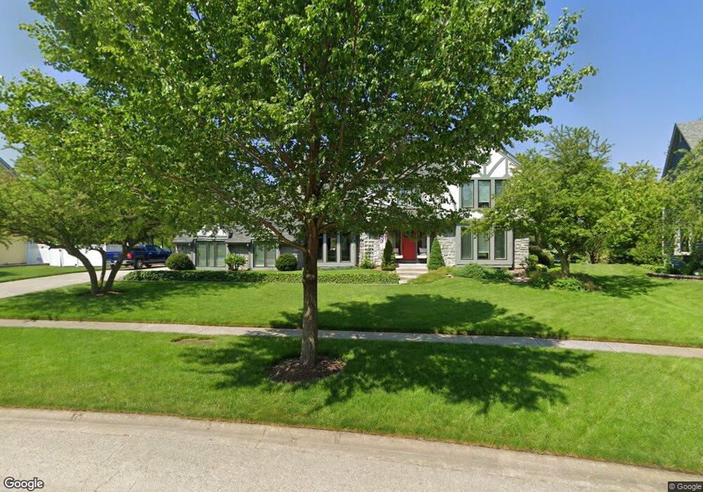
25 Robert Rd Oswego, IL 60543
South Oswego NeighborhoodEstimated Value: $501,256 - $552,000
4
Beds
3
Baths
2,688
Sq Ft
$196/Sq Ft
Est. Value
About This Home
This home is located at 25 Robert Rd, Oswego, IL 60543 and is currently estimated at $527,314, approximately $196 per square foot. 25 Robert Rd is a home located in Kendall County with nearby schools including Southbury Elementary School, Traughber Junior High School, and Oswego High School.
Ownership History
Date
Name
Owned For
Owner Type
Purchase Details
Closed on
Oct 20, 2011
Sold by
Myftari Sam and Miftari Idaet
Bought by
People Of The State Of Illinois Departme
Current Estimated Value
Purchase Details
Closed on
May 29, 1998
Sold by
Old Second Community Bank Of Aurora
Bought by
Johnson Scott A and Johnson Elizabeth A
Home Financials for this Owner
Home Financials are based on the most recent Mortgage that was taken out on this home.
Original Mortgage
$223,250
Interest Rate
7.27%
Purchase Details
Closed on
Dec 15, 1997
Sold by
Randall Richard A
Bought by
Old Second Community Bank
Purchase Details
Closed on
Jun 1, 1989
Create a Home Valuation Report for This Property
The Home Valuation Report is an in-depth analysis detailing your home's value as well as a comparison with similar homes in the area
Home Values in the Area
Average Home Value in this Area
Purchase History
| Date | Buyer | Sale Price | Title Company |
|---|---|---|---|
| People Of The State Of Illinois Departme | $10,000 | None Available | |
| Johnson Scott A | $238,000 | First American Title Ins Co | |
| Old Second Community Bank | -- | -- | |
| -- | $44,900 | -- |
Source: Public Records
Mortgage History
| Date | Status | Borrower | Loan Amount |
|---|---|---|---|
| Previous Owner | Johnson Scott A | $223,250 |
Source: Public Records
Tax History
| Year | Tax Paid | Tax Assessment Tax Assessment Total Assessment is a certain percentage of the fair market value that is determined by local assessors to be the total taxable value of land and additions on the property. | Land | Improvement |
|---|---|---|---|---|
| 2024 | $10,773 | $139,876 | $29,509 | $110,367 |
| 2023 | $9,803 | $126,015 | $26,585 | $99,430 |
| 2022 | $9,803 | $114,559 | $24,168 | $90,391 |
| 2021 | $9,947 | $112,313 | $23,694 | $88,619 |
| 2020 | $10,046 | $112,313 | $23,694 | $88,619 |
| 2019 | $9,878 | $108,905 | $23,694 | $85,211 |
| 2018 | $9,960 | $106,456 | $23,161 | $83,295 |
| 2017 | $9,878 | $102,361 | $22,270 | $80,091 |
| 2016 | $9,468 | $97,025 | $21,109 | $75,916 |
| 2015 | $9,330 | $91,533 | $19,914 | $71,619 |
| 2014 | -- | $88,012 | $19,148 | $68,864 |
| 2013 | -- | $88,901 | $19,341 | $69,560 |
Source: Public Records
Map
Nearby Homes
- 734 Alberta Ave
- 740 Alberta Ave
- 621 Mansfield Way
- 739 Alberta Ave
- 1451 Vintage Dr
- 401 Bower Ln
- 3 Orchard Rd
- 123 Orchard Rd
- 2 Orchard Rd
- 1300 Orchard Rd
- 706 Springside Ct
- Lyndale Plan at Southbury
- Hudson Plan at Southbury
- 215 Willington Way
- Essex Plan at Southbury
- 704 Pomfret Ct
- 1444 Vintage Dr
- 102 Piper Glen Ave
- 202 Piper Glen Ave
- 228 Piper Glen Ave
Your Personal Tour Guide
Ask me questions while you tour the home.