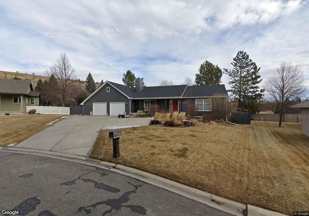
25 Stanford Ct Billings, MT 59102
North Central Billings NeighborhoodEstimated Value: $644,000 - $766,000
5
Beds
4
Baths
4,304
Sq Ft
$159/Sq Ft
Est. Value
About This Home
This home is located at 25 Stanford Ct, Billings, MT 59102 and is currently estimated at $685,333, approximately $159 per square foot. 25 Stanford Ct is a home located in Yellowstone County with nearby schools including Rose Park School, Lewis & Clark Junior High School, and Billings Senior High School.
Ownership History
Date
Name
Owned For
Owner Type
Purchase Details
Closed on
Mar 27, 2012
Sold by
Kane Joseph C and Kane Bobbie C
Bought by
Kurth Kevin F and Kurth Patricia M
Current Estimated Value
Home Financials for this Owner
Home Financials are based on the most recent Mortgage that was taken out on this home.
Original Mortgage
$248,000
Outstanding Balance
$170,648
Interest Rate
3.83%
Mortgage Type
New Conventional
Estimated Equity
$514,685
Purchase Details
Closed on
Dec 20, 2006
Sold by
Morris Jere N
Bought by
Kane Joseph C and Kane Bobbie C
Home Financials for this Owner
Home Financials are based on the most recent Mortgage that was taken out on this home.
Original Mortgage
$185,000
Interest Rate
6.33%
Mortgage Type
New Conventional
Create a Home Valuation Report for This Property
The Home Valuation Report is an in-depth analysis detailing your home's value as well as a comparison with similar homes in the area
Home Values in the Area
Average Home Value in this Area
Purchase History
| Date | Buyer | Sale Price | Title Company |
|---|---|---|---|
| Kurth Kevin F | -- | None Available | |
| Kane Joseph C | -- | St |
Source: Public Records
Mortgage History
| Date | Status | Borrower | Loan Amount |
|---|---|---|---|
| Open | Kurth Kevin F | $248,000 | |
| Previous Owner | Kane Joseph C | $185,000 |
Source: Public Records
Tax History Compared to Growth
Tax History
| Year | Tax Paid | Tax Assessment Tax Assessment Total Assessment is a certain percentage of the fair market value that is determined by local assessors to be the total taxable value of land and additions on the property. | Land | Improvement |
|---|---|---|---|---|
| 2025 | $5,571 | $623,100 | $129,481 | $493,619 |
| 2024 | $5,571 | $577,500 | $126,279 | $451,221 |
| 2023 | $5,575 | $577,500 | $126,279 | $451,221 |
| 2022 | $4,067 | $430,800 | $0 | $0 |
| 2021 | $4,504 | $430,800 | $0 | $0 |
| 2020 | $4,546 | $417,200 | $0 | $0 |
Source: Public Records
Map
Nearby Homes
- 9 Stanford Ct
- 2718 Terrace Dr
- 2510 Terrace Dr
- 2910 Glacier Dr
- 2414 Ivy Ln
- 1833 Iris Ln
- 1440 Granite Ave
- 1734 Mariposa Ln
- 46 Shadow Place Unit 6B
- 2030 Rimrock Rd
- 2042 Green Terrace Dr
- 6 Heatherwood Ln
- 1400 Poly Dr Unit 4D
- 24 Heatherwood Ln Unit 12D
- 41 Heatherwood Ln
- 2020 Plaza Dr
- 2124 Dahlia Ln
- 1323 Granite Ave
- 3226 Country Club Cir
- 1233 Yale Ave
- 26 Stanford Ct
- 24 Stanford Ct
- 20 Stanford Ct
- 19 Stanford Ct
- 23 Stanford Ct
- 1650 Rimrock Rd
- 1650 Rimrock Rd
- 1650 Rimrock Rd
- 1650 Rimrock Rd
- 1650 Rimrock Rd
- 1650 Rimrock Rd
- 1650 Rimrock Rd
- 1650 Rimrock Rd
- 1650 Rimrock Rd
- 1650 Rimrock Rd
- 1650 Rimrock Rd
- 1650 Rimrock Rd
- 22 Stanford Ct
- 2904 17th St W
- 21 Stanford Ct