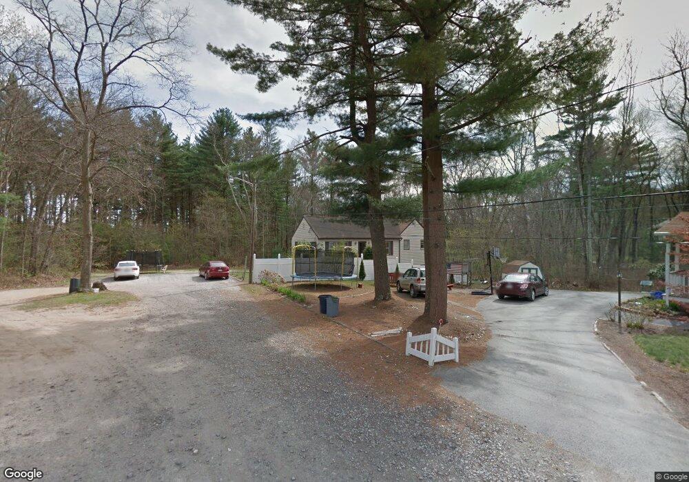
25 Stetson St Taunton, MA 02780
Whittenton Junction NeighborhoodEstimated Value: $469,027 - $609,000
3
Beds
2
Baths
1,573
Sq Ft
$346/Sq Ft
Est. Value
About This Home
This home is located at 25 Stetson St, Taunton, MA 02780 and is currently estimated at $543,757, approximately $345 per square foot. 25 Stetson St is a home located in Bristol County with nearby schools including Benjamin Friedman Middle School, Joseph C. Chamberlain Elementary School, and Taunton High School.
Ownership History
Date
Name
Owned For
Owner Type
Purchase Details
Closed on
Oct 29, 1999
Sold by
Bonefant Janet L
Bought by
Costa Jason J
Current Estimated Value
Home Financials for this Owner
Home Financials are based on the most recent Mortgage that was taken out on this home.
Original Mortgage
$149,898
Interest Rate
7.78%
Mortgage Type
Purchase Money Mortgage
Create a Home Valuation Report for This Property
The Home Valuation Report is an in-depth analysis detailing your home's value as well as a comparison with similar homes in the area
Home Values in the Area
Average Home Value in this Area
Purchase History
| Date | Buyer | Sale Price | Title Company |
|---|---|---|---|
| Costa Jason J | $150,000 | -- |
Source: Public Records
Mortgage History
| Date | Status | Borrower | Loan Amount |
|---|---|---|---|
| Open | Costa Jason J | $198,921 | |
| Closed | Costa Jason J | $152,500 | |
| Closed | Costa Jason J | $149,898 | |
| Previous Owner | Costa Jason J | $13,000 |
Source: Public Records
Tax History Compared to Growth
Tax History
| Year | Tax Paid | Tax Assessment Tax Assessment Total Assessment is a certain percentage of the fair market value that is determined by local assessors to be the total taxable value of land and additions on the property. | Land | Improvement |
|---|---|---|---|---|
| 2025 | $4,464 | $408,000 | $114,600 | $293,400 |
| 2024 | $4,032 | $360,300 | $114,600 | $245,700 |
| 2023 | $4,020 | $333,600 | $119,800 | $213,800 |
| 2022 | $3,855 | $292,500 | $92,900 | $199,600 |
| 2021 | $3,695 | $260,200 | $84,400 | $175,800 |
| 2020 | $11,057 | $238,000 | $84,400 | $153,600 |
| 2019 | $10,972 | $216,000 | $84,400 | $131,600 |
| 2018 | $3,358 | $213,600 | $85,200 | $128,400 |
| 2017 | $9,844 | $191,400 | $80,700 | $110,700 |
| 2016 | $2,915 | $185,900 | $78,400 | $107,500 |
| 2015 | $2,813 | $187,400 | $77,600 | $109,800 |
| 2014 | $2,757 | $188,700 | $77,200 | $111,500 |
Source: Public Records
Map
Nearby Homes
- 193 Fremont St
- 16 Hunter St Unit A
- 2 Upland Rd
- 169 Powderhorn Dr
- 22 Southway
- 0 Norton Ave Unit 73445127
- 79 Fremont St
- 17 Davis St
- 750 Whittenton St Unit 523
- 20 Grand Ave
- 214 Eldridge St
- 563 Whittenton St
- 110 Eldridge St Unit B
- 0 Whittenton St
- 8 N Walker St
- 0 Montclair Ave Unit 72130752
- 137 Tremont St
- 96 Danforth St Unit 49
- 383 Tremont St
- 108 Tremont St
- 7 Stetson St
- 115 Willis Pond Rd
- 75 Willis Pond Rd
- 85 Willis Pond Rd
- 137 Willis Pond Rd
- 140 Willis Pond Rd
- 60 Willis Pond Rd
- 156 Devon St
- 144 Devon St
- 176 Devon St
- 100 Willis Pond Rd
- 132 Devon St
- 188 Devon St
- 120 Devon St
- 50 Barry Dr
- 40 Barry Dr
- 108 Devon St
- 147 Devon St
- 125 Guernsey Ave
- 181 Devon St