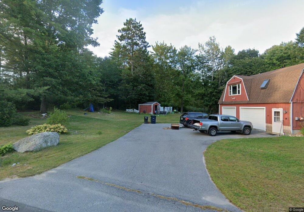
25 Webster Rd Buxton, ME 04093
Estimated Value: $258,000 - $360,000
1
Bed
1
Bath
780
Sq Ft
$377/Sq Ft
Est. Value
About This Home
This home is located at 25 Webster Rd, Buxton, ME 04093 and is currently estimated at $294,378, approximately $377 per square foot. 25 Webster Rd is a home located in York County with nearby schools including Bonny Eagle High School.
Ownership History
Date
Name
Owned For
Owner Type
Purchase Details
Closed on
Sep 30, 2019
Sold by
Dolloff Melissa E
Bought by
Cressey Stephanie R
Current Estimated Value
Purchase Details
Closed on
Jan 7, 2016
Sold by
Littlefield 3Rd Ray L
Bought by
Joy Margaret M
Home Financials for this Owner
Home Financials are based on the most recent Mortgage that was taken out on this home.
Original Mortgage
$143,958
Interest Rate
3.96%
Mortgage Type
Unknown
Create a Home Valuation Report for This Property
The Home Valuation Report is an in-depth analysis detailing your home's value as well as a comparison with similar homes in the area
Home Values in the Area
Average Home Value in this Area
Purchase History
| Date | Buyer | Sale Price | Title Company |
|---|---|---|---|
| Cressey Stephanie R | -- | None Available | |
| Joy Margaret M | -- | -- |
Source: Public Records
Mortgage History
| Date | Status | Borrower | Loan Amount |
|---|---|---|---|
| Previous Owner | Joy Margaret M | $143,958 |
Source: Public Records
Tax History
| Year | Tax Paid | Tax Assessment Tax Assessment Total Assessment is a certain percentage of the fair market value that is determined by local assessors to be the total taxable value of land and additions on the property. | Land | Improvement |
|---|---|---|---|---|
| 2025 | $2,017 | $176,900 | $89,400 | $87,500 |
| 2024 | $1,944 | $176,900 | $89,400 | $87,500 |
| 2023 | $1,845 | $176,900 | $89,400 | $87,500 |
| 2022 | $1,823 | $178,000 | $89,400 | $88,600 |
| 2021 | $1,548 | $131,284 | $65,800 | $65,484 |
| 2020 | $1,550 | $131,284 | $65,800 | $65,484 |
| 2019 | $1,798 | $121,300 | $65,800 | $55,500 |
| 2018 | $1,715 | $121,300 | $65,800 | $55,500 |
| 2017 | $3,346 | $121,300 | $65,800 | $55,500 |
| 2016 | $3,627 | $122,100 | $66,600 | $55,500 |
| 2015 | $1,581 | $122,100 | $66,600 | $55,500 |
| 2014 | $1,524 | $120,000 | $66,600 | $53,400 |
| 2013 | $1,500 | $120,000 | $66,600 | $53,400 |
Source: Public Records
Map
Nearby Homes
- 207 Dunnell Rd
- 82 Carll Rd
- 866 Parker Farm Rd Unit A
- 866 Parker Farm Rd Unit B
- 35 Rust Rd
- 16 Daniel St
- 866 Parker Farm Lot B Rd
- 866 Parker Farm Lot A Rd
- 4 Musket Dr
- 30 Joan Dixon Way
- 0 Waterman
- 17 Boreal Dr
- 30 Boreal Dr
- 1306 Long Plains Rd
- 52 Morrill Ave
- 15 Green St
- 12 Strouts Way
- 42 Brandons Way
- 127 Falcon Crest Dr Unit 4
- 91 South St
- 26 Captains Way
- 63 Webster Rd
- 16 Captains Way
- 34 Captains Way
- 21 Captains Way
- 31 Captains Way
- 17 Captains Way
- 35 Captains Way
- 6 Captains Way
- 9 Captains Way
- 7 Captain's Way
- 250 Church Hill Rd
- 137 Church Hill Rd
- 177 Webster Rd
- 243 Church Hill Rd
- 266 Church Hill Rd
- 140 Webster Rd
- 210 Webster Rd
- 130 Webster Rd
- 148 Webster Rd
Your Personal Tour Guide
Ask me questions while you tour the home.