25 Weed Rd Meredith, NH 03253
Estimated Value: $575,827 - $970,000
3
Beds
2
Baths
1,515
Sq Ft
$463/Sq Ft
Est. Value
About This Home
This home is located at 25 Weed Rd, Meredith, NH 03253 and is currently estimated at $701,957, approximately $463 per square foot. 25 Weed Rd is a home located in Belknap County with nearby schools including Inter-Lakes Elementary School and Lakeland School.
Ownership History
Date
Name
Owned For
Owner Type
Purchase Details
Closed on
Jun 16, 2006
Sold by
Platinum Re Invests Ll
Bought by
Friedli Christine A and Friedli Robert W
Current Estimated Value
Home Financials for this Owner
Home Financials are based on the most recent Mortgage that was taken out on this home.
Original Mortgage
$100,000
Interest Rate
6.62%
Create a Home Valuation Report for This Property
The Home Valuation Report is an in-depth analysis detailing your home's value as well as a comparison with similar homes in the area
Home Values in the Area
Average Home Value in this Area
Purchase History
| Date | Buyer | Sale Price | Title Company |
|---|---|---|---|
| Friedli Christine A | $415,000 | -- |
Source: Public Records
Mortgage History
| Date | Status | Borrower | Loan Amount |
|---|---|---|---|
| Closed | Friedli Christine A | $100,000 |
Source: Public Records
Tax History Compared to Growth
Tax History
| Year | Tax Paid | Tax Assessment Tax Assessment Total Assessment is a certain percentage of the fair market value that is determined by local assessors to be the total taxable value of land and additions on the property. | Land | Improvement |
|---|---|---|---|---|
| 2024 | $5,171 | $504,000 | $193,600 | $310,400 |
| 2023 | $4,985 | $504,000 | $193,600 | $310,400 |
| 2022 | $4,808 | $344,200 | $107,000 | $237,200 |
| 2021 | $4,623 | $344,200 | $107,000 | $237,200 |
| 2020 | $4,826 | $344,200 | $107,000 | $237,200 |
| 2019 | $4,831 | $304,000 | $87,700 | $216,300 |
| 2018 | $4,748 | $304,000 | $87,700 | $216,300 |
| 2016 | $4,479 | $287,300 | $85,500 | $201,800 |
| 2015 | $4,367 | $287,300 | $85,500 | $201,800 |
| 2014 | $4,261 | $287,300 | $85,500 | $201,800 |
| 2013 | $4,140 | $287,300 | $85,500 | $201,800 |
Source: Public Records
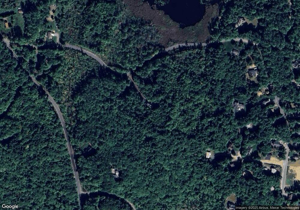
Map
Nearby Homes
- 264 Chemung Rd
- 00 Chemung Rd Unit 31
- 6 Loon Point Rd
- 1 Sanctuary Ln
- 65 Tucker Mountain Rd
- 18 Solace Pointe Rd
- 0 Black Brook Rd Unit 5063655
- 14 Solace Pointe Rd
- 247 Meredith Center Rd
- 36 New Rd
- 126 Meredith Center Rd
- 12 Serenity Ln
- 65 Corliss Hill Rd
- 3114 Parade Rd
- 447 Nh Route 104
- 33 Sherene Orchard Rd
- 31 Sherene Orchard Rd
- 70 Hatch Corner Rd
- 32 Eastman Shore Rd S
- 207 Pease Rd