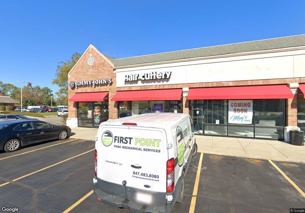
250 E Dundee Rd Wheeling, IL 60090
Estimated Value: $2,496,479
Studio
--
Bath
6,820
Sq Ft
$366/Sq Ft
Est. Value
About This Home
This home is located at 250 E Dundee Rd, Wheeling, IL 60090 and is currently estimated at $2,496,479, approximately $366 per square foot. 250 E Dundee Rd is a home located in Cook County with nearby schools including Eugene Field Elementary School, Jack London Middle School, and Wheeling High School.
Ownership History
Date
Name
Owned For
Owner Type
Purchase Details
Closed on
Apr 12, 2023
Sold by
Rrk-Us Lp
Bought by
250-300 Dundee Llc
Current Estimated Value
Purchase Details
Closed on
Jun 27, 2016
Sold by
Zne Whelling Llc
Bought by
Rrk Us Lp
Purchase Details
Closed on
Dec 22, 2011
Sold by
Jpj Wheeling Llc
Bought by
Zne Wheeling Llc
Home Financials for this Owner
Home Financials are based on the most recent Mortgage that was taken out on this home.
Original Mortgage
$1,331,250
Interest Rate
3%
Mortgage Type
Commercial
Create a Home Valuation Report for This Property
The Home Valuation Report is an in-depth analysis detailing your home's value as well as a comparison with similar homes in the area
Home Values in the Area
Average Home Value in this Area
Purchase History
| Date | Buyer | Sale Price | Title Company |
|---|---|---|---|
| 250-300 Dundee Llc | $2,075,000 | None Listed On Document | |
| Rrk Us Lp | $2,300,000 | Chicago Title Insurance Comp | |
| Zne Wheeling Llc | $1,775,000 | Cti |
Source: Public Records
Mortgage History
| Date | Status | Borrower | Loan Amount |
|---|---|---|---|
| Previous Owner | Zne Wheeling Llc | $1,331,250 |
Source: Public Records
Tax History
| Year | Tax Paid | Tax Assessment Tax Assessment Total Assessment is a certain percentage of the fair market value that is determined by local assessors to be the total taxable value of land and additions on the property. | Land | Improvement |
|---|---|---|---|---|
| 2025 | $92,786 | $416,751 | $131,273 | $285,478 |
| 2024 | $92,786 | $276,858 | $131,273 | $145,585 |
| 2023 | $88,488 | $276,858 | $131,273 | $145,585 |
| 2022 | $88,488 | $276,858 | $131,273 | $145,585 |
| 2021 | $113,049 | $305,124 | $131,272 | $173,852 |
| 2020 | $106,323 | $294,638 | $131,272 | $163,366 |
| 2019 | $96,544 | $294,638 | $131,272 | $163,366 |
| 2018 | $91,727 | $251,349 | $78,763 | $172,586 |
| 2017 | $114,647 | $320,684 | $78,763 | $241,921 |
| 2016 | $112,091 | $335,967 | $78,763 | $257,204 |
| 2015 | $119,949 | $336,627 | $74,387 | $262,240 |
| 2014 | $117,006 | $336,627 | $74,387 | $262,240 |
| 2013 | $102,306 | $318,795 | $74,387 | $244,408 |
Source: Public Records
Map
Nearby Homes
- 115 E Dundee Rd Unit 3N
- 190 N Milwaukee Ave Unit 3604
- 100 Deborah Ln Unit A19
- 100 Deborah Ln Unit B26
- 100 Deborah Ln Unit 16A
- 127 N Wolf Rd Unit 60A
- 302 Linden Ln
- 246 Shadowbend Dr
- 292 Shadowbend Dr Unit 3C
- 121 Commons Ct Unit 21
- 325 Shadowbend Dr Unit 3B
- 241 S Milwaukee Ave
- 286 Prairie View Ln Unit 286
- 272 Prairie View Ln
- 274 Prairie View Ln
- 195 7th St
- 28 Legacy Ln
- 62 Mayer Ave
- 372 Nancy Ln
- 454 Stone Place
- 280 E Dundee Rd
- 222 E Dundee Rd Unit 101
- 222 E Dundee Rd Unit 1
- 222 E Dundee Rd
- 200 Deborah Ln Unit 13
- 200 Deborah Ln Unit 5C
- 200 Deborah Ln Unit 2C
- 200 Deborah Ln Unit 12C
- 200 Deborah Ln Unit 16B
- 200 Deborah Ln Unit 4
- 200 Deborah Ln Unit 12B
- 200 Deborah Ln Unit 6A
- 200 Deborah Ln Unit 2A
- 200 Deborah Ln Unit 2
- 200 Deborah Ln Unit 16
- 200 Deborah Ln Unit 10
- 200 Deborah Ln Unit 9
- 200 Deborah Ln Unit 8
- 200 Deborah Ln Unit 5
- 200 Deborah Ln Unit 3
Your Personal Tour Guide
Ask me questions while you tour the home.