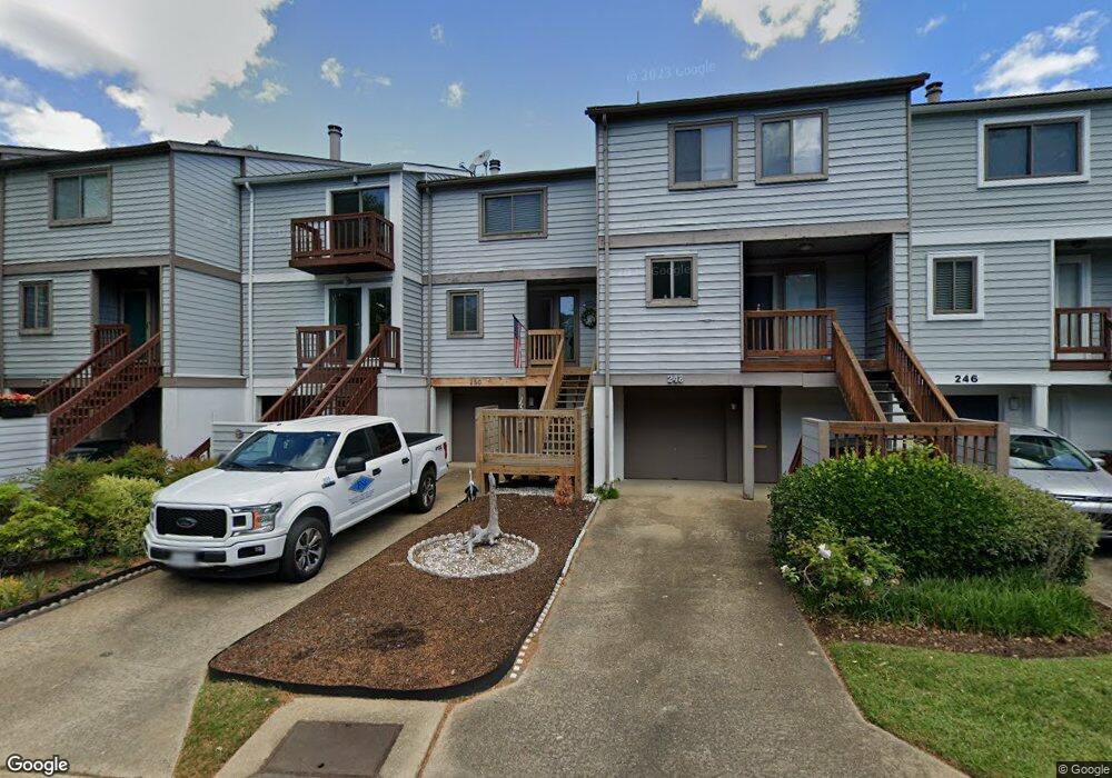
250 Mill Point Dr Hampton, VA 23669
Downtown Hampton NeighborhoodEstimated Value: $273,658 - $302,000
2
Beds
3
Baths
1,192
Sq Ft
$243/Sq Ft
Est. Value
About This Home
This home is located at 250 Mill Point Dr, Hampton, VA 23669 and is currently estimated at $290,165, approximately $243 per square foot. 250 Mill Point Dr is a home located in Hampton City with nearby schools including Capt. John Smith Elementary School, C. Alton Lindsay Middle School, and Phoebus High School.
Ownership History
Date
Name
Owned For
Owner Type
Purchase Details
Closed on
May 11, 2021
Sold by
The Last Will And Testament Of John Andr
Bought by
Kearney Jeffrey Clark and Kearney Robin Lynn
Current Estimated Value
Home Financials for this Owner
Home Financials are based on the most recent Mortgage that was taken out on this home.
Original Mortgage
$192,307
Outstanding Balance
$173,730
Interest Rate
2.9%
Mortgage Type
FHA
Estimated Equity
$116,435
Create a Home Valuation Report for This Property
The Home Valuation Report is an in-depth analysis detailing your home's value as well as a comparison with similar homes in the area
Home Values in the Area
Average Home Value in this Area
Purchase History
| Date | Buyer | Sale Price | Title Company |
|---|---|---|---|
| Kearney Jeffrey Clark | $210,000 | Attorney |
Source: Public Records
Mortgage History
| Date | Status | Borrower | Loan Amount |
|---|---|---|---|
| Open | Kearney Jeffrey Clark | $192,307 |
Source: Public Records
Tax History
| Year | Tax Paid | Tax Assessment Tax Assessment Total Assessment is a certain percentage of the fair market value that is determined by local assessors to be the total taxable value of land and additions on the property. | Land | Improvement |
|---|---|---|---|---|
| 2025 | $3,077 | $266,600 | $80,600 | $186,000 |
| 2024 | $2,819 | $245,100 | $68,200 | $176,900 |
| 2023 | $2,702 | $232,900 | $68,200 | $164,700 |
| 2022 | $2,536 | $214,900 | $68,200 | $146,700 |
| 2021 | $2,356 | $179,500 | $68,200 | $111,300 |
| 2020 | $2,137 | $172,300 | $68,200 | $104,100 |
| 2019 | $2,139 | $172,500 | $68,200 | $104,300 |
| 2018 | $2,212 | $170,800 | $68,200 | $102,600 |
| 2017 | $2,212 | $0 | $0 | $0 |
| 2016 | $2,212 | $170,800 | $0 | $0 |
| 2015 | $2,212 | $0 | $0 | $0 |
| 2014 | $2,202 | $170,800 | $68,200 | $102,600 |
Source: Public Records
Map
Nearby Homes
- 233 Mill Point Dr
- 301 Washington St
- 329 Center St
- 115 E Pembroke Ave
- 329 Elm Ave
- 418 Wine St
- 603 Washington St
- 606 Washington St
- 542 River St
- 314 Cooper St
- 311 Cooper St
- 720 River St
- 433 Cooper St
- 439 Cooper St
- 144 Meredith St
- 221 Island Cove Ct Unit C
- 116 Linden Ave
- 27 Bacon St
- 16 S Cypress St
- 226 Island Cove Ct Unit C
- 252 Mill Point Dr
- 248 Mill Point Dr
- 254 Mill Point Dr
- 246 Mill Point Dr
- 244 Mill Point Dr
- 256 Mill Point Dr
- 242 Mill Point Dr
- 240 Mill Point Dr
- 238 Mill Point Dr
- 241 Mill Point Dr
- 239 Mill Point Dr
- 236 Mill Point Dr
- 237 Mill Point Dr
- 234 Mill Point Dr
- 217 Washington St
- 235 Mill Point Dr
- 245 Mill Point Dr
- 230 Mill Point Dr
- 231 Mill Point Dr
- 270 Eaton St
Your Personal Tour Guide
Ask me questions while you tour the home.