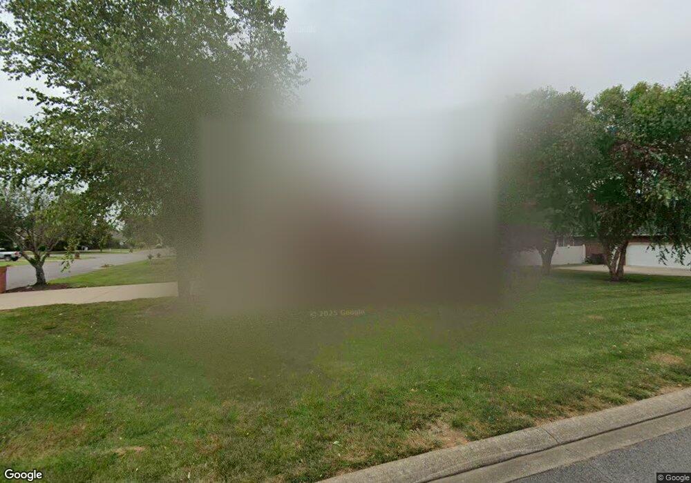
2505 Dorset St Murfreesboro, TN 37130
Estimated Value: $367,000 - $464,000
--
Bed
3
Baths
1,944
Sq Ft
$217/Sq Ft
Est. Value
About This Home
This home is located at 2505 Dorset St, Murfreesboro, TN 37130 and is currently estimated at $421,836, approximately $216 per square foot. 2505 Dorset St is a home located in Rutherford County with nearby schools including John Pittard Elementary School, Oakland Middle School, and Oakland High School.
Ownership History
Date
Name
Owned For
Owner Type
Purchase Details
Closed on
Jan 15, 2013
Sold by
Starcher George A
Bought by
Starcher George A
Current Estimated Value
Purchase Details
Closed on
Jul 31, 2006
Sold by
Riddle William K
Bought by
Starcher George A
Home Financials for this Owner
Home Financials are based on the most recent Mortgage that was taken out on this home.
Original Mortgage
$143,120
Interest Rate
6.74%
Purchase Details
Closed on
Feb 26, 1999
Sold by
Boyd James H and Boyd Gayle
Bought by
Stroop Robert T
Create a Home Valuation Report for This Property
The Home Valuation Report is an in-depth analysis detailing your home's value as well as a comparison with similar homes in the area
Home Values in the Area
Average Home Value in this Area
Purchase History
| Date | Buyer | Sale Price | Title Company |
|---|---|---|---|
| Starcher George A | -- | -- | |
| Starcher George A | $178,900 | -- | |
| Stroop Robert T | $134,000 | -- |
Source: Public Records
Mortgage History
| Date | Status | Borrower | Loan Amount |
|---|---|---|---|
| Previous Owner | Stroop Robert T | $143,120 | |
| Previous Owner | Stroop Robert T | $35,792 |
Source: Public Records
Tax History Compared to Growth
Tax History
| Year | Tax Paid | Tax Assessment Tax Assessment Total Assessment is a certain percentage of the fair market value that is determined by local assessors to be the total taxable value of land and additions on the property. | Land | Improvement |
|---|---|---|---|---|
| 2025 | $2,402 | $84,925 | $13,750 | $71,175 |
| 2024 | $2,402 | $84,925 | $13,750 | $71,175 |
| 2023 | $1,594 | $84,950 | $13,750 | $71,200 |
| 2022 | $1,373 | $84,950 | $13,750 | $71,200 |
| 2021 | $1,271 | $57,275 | $11,250 | $46,025 |
| 2020 | $1,271 | $57,275 | $11,250 | $46,025 |
| 2019 | $1,271 | $57,275 | $11,250 | $46,025 |
| 2018 | $1,746 | $57,275 | $0 | $0 |
| 2017 | $1,722 | $44,300 | $0 | $0 |
| 2016 | $1,722 | $44,300 | $0 | $0 |
| 2015 | $1,722 | $44,300 | $0 | $0 |
| 2014 | $1,102 | $44,300 | $0 | $0 |
| 2013 | -- | $48,850 | $0 | $0 |
Source: Public Records
Map
Nearby Homes
- 2510 Mission Ridge Dr
- 1640 Drayton Dr
- 2607 Mission Ridge Dr
- 2403 English Hill Dr
- 2639 Mission Ridge Dr
- 2223 Brick Way
- 2428 Sandstone Cir
- 1817 Splash Place
- 0 Pitts Ln
- 2514 Sandstone Cir
- 2164 White Poplar Ct
- 2111 Lovelace Ln
- 1180 Ithaca St
- 1512 Mirabella Way
- 2521 Pebblecreek Ln
- 1430 Avellino Cir
- 2326 Laurelstone Dr
- 2328 Laurelstone Dr
- 722 Osborne Ln
- 2336 Laurelstone Dr
- 2509 Dorset St
- 2506 Mission Ridge Dr
- 2506 Dorset St
- 2513 Dorset St
- 1614 Earl Ct
- 1618 Earl Ct
- 2442 Mission Ridge Dr
- 2510 Dorset St
- 1622 Earl Ct
- 2517 Dorset St
- 2438 Mission Ridge Dr
- 1627 Earl Ct
- 2503 Mission Ridge Dr
- 1628 Drayton Dr
- 2507 Mission Ridge Dr
- 2514 Mission Ridge Dr
- 2443 Mission Ridge Dr
- 2518 Dorset St
- 2511 Mission Ridge Dr
- 2521 Dorset St