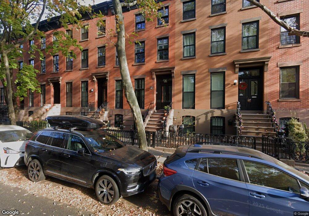
251 Dean St Brooklyn, NY 11217
Boerum Hill NeighborhoodEstimated Value: $5,517,000 - $6,387,000
--
Bed
--
Bath
4,116
Sq Ft
$1,472/Sq Ft
Est. Value
About This Home
This home is located at 251 Dean St, Brooklyn, NY 11217 and is currently estimated at $6,057,383, approximately $1,471 per square foot. 251 Dean St is a home located in Kings County with nearby schools including P.S. 38 The Pacific School, Success Academy Cobble Hill, and New Dawn Charter High School.
Ownership History
Date
Name
Owned For
Owner Type
Purchase Details
Closed on
Feb 25, 2016
Sold by
Steinson Nancy A
Bought by
Smith Andrew B and Smith Linda M
Current Estimated Value
Home Financials for this Owner
Home Financials are based on the most recent Mortgage that was taken out on this home.
Original Mortgage
$1,750,000
Outstanding Balance
$1,391,528
Interest Rate
3.79%
Mortgage Type
Purchase Money Mortgage
Estimated Equity
$4,665,855
Create a Home Valuation Report for This Property
The Home Valuation Report is an in-depth analysis detailing your home's value as well as a comparison with similar homes in the area
Home Values in the Area
Average Home Value in this Area
Purchase History
| Date | Buyer | Sale Price | Title Company |
|---|---|---|---|
| Smith Andrew B | $3,675,000 | -- |
Source: Public Records
Mortgage History
| Date | Status | Borrower | Loan Amount |
|---|---|---|---|
| Open | Smith Andrew B | $1,750,000 |
Source: Public Records
Tax History Compared to Growth
Tax History
| Year | Tax Paid | Tax Assessment Tax Assessment Total Assessment is a certain percentage of the fair market value that is determined by local assessors to be the total taxable value of land and additions on the property. | Land | Improvement |
|---|---|---|---|---|
| 2025 | $14,451 | $317,640 | $42,960 | $274,680 |
| 2024 | $14,451 | $303,660 | $42,960 | $260,700 |
| 2023 | $14,321 | $372,600 | $42,960 | $329,640 |
| 2022 | $13,710 | $314,400 | $42,960 | $271,440 |
| 2021 | $13,881 | $319,500 | $42,960 | $276,540 |
| 2020 | $10,411 | $333,240 | $42,960 | $290,280 |
| 2019 | $8,953 | $315,240 | $42,960 | $272,280 |
| 2018 | $8,481 | $41,602 | $7,002 | $34,600 |
| 2017 | $8,168 | $40,071 | $6,465 | $33,606 |
| 2016 | $7,557 | $37,803 | $7,191 | $30,612 |
| 2015 | $3,998 | $35,665 | $9,495 | $26,170 |
| 2014 | $3,998 | $35,665 | $11,392 | $24,273 |
Source: Public Records
Map
Nearby Homes
- 229 Dean St
- 227 Dean St
- 230 Bergen St
- 244 Bergen St
- 156 Nevins St
- 433 Pacific St
- 390 Pacific St
- 207 Wyckoff St Unit 2
- 142 Bond St
- 424 Atlantic Ave Unit MULTIFAM
- 467 Pacific St Unit 10
- 433 Warren St Unit 4A
- 433 Warren St Unit 4C
- 457 Atlantic Ave Unit 2A
- 422 State St Unit 6
- 165 Wyckoff St Unit 4
- 497 Pacific St Unit 3C
- 450 Warren St Unit 2C
- 483 Atlantic Ave
- 52 3rd Ave Unit 1A
- 251 Dean St Unit 2
- 251 Dean St Unit UPPERDUP
- 253 Dean St
- 253 Dean St
- 253 Dean St Unit 2
- 253 Dean St Unit 1
- 249 Dean St
- 255 Dean St
- 255 Dean St Unit 1
- 255 Dean St Unit 2
- 247 Dean St
- 257 Dean St
- 245 Dean St
- 259 Dean St Unit 5
- 243 Dean St
- 116 Nevins St
- 112 Nevins St Unit Building
- 241 Dean St
- 241 Dean St Unit 3
- 436 Pacific St