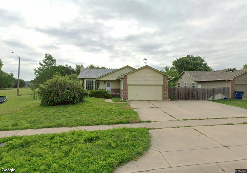
251 E Lockridge St Mulvane, KS 67110
Estimated Value: $274,667 - $288,000
3
Beds
3
Baths
1,325
Sq Ft
$212/Sq Ft
Est. Value
About This Home
This home is located at 251 E Lockridge St, Mulvane, KS 67110 and is currently estimated at $281,334, approximately $212 per square foot. 251 E Lockridge St is a home located in Sedgwick County with nearby schools including Munson Primary School, Mulvane Grade School, and Mulvane Middle School.
Ownership History
Date
Name
Owned For
Owner Type
Purchase Details
Closed on
Oct 31, 2007
Sold by
Vandracek Steve K and Vandracek Sharon L
Bought by
Blue Larry D
Current Estimated Value
Home Financials for this Owner
Home Financials are based on the most recent Mortgage that was taken out on this home.
Original Mortgage
$108,800
Outstanding Balance
$68,803
Interest Rate
6.37%
Mortgage Type
New Conventional
Estimated Equity
$212,531
Purchase Details
Closed on
May 15, 2001
Sold by
Barney Galen A
Bought by
Lowe Edward E and Lowe Reita K
Home Financials for this Owner
Home Financials are based on the most recent Mortgage that was taken out on this home.
Original Mortgage
$96,000
Interest Rate
7.01%
Create a Home Valuation Report for This Property
The Home Valuation Report is an in-depth analysis detailing your home's value as well as a comparison with similar homes in the area
Home Values in the Area
Average Home Value in this Area
Purchase History
| Date | Buyer | Sale Price | Title Company |
|---|---|---|---|
| Blue Larry D | -- | Lawyers Title Co | |
| Blue Larry D | -- | Lawyers Title Co | |
| Lowe Edward E | -- | Columbian Natl Title Ins Co |
Source: Public Records
Mortgage History
| Date | Status | Borrower | Loan Amount |
|---|---|---|---|
| Open | Blue Larry D | $108,800 | |
| Previous Owner | Lowe Edward E | $96,000 |
Source: Public Records
Tax History
| Year | Tax Paid | Tax Assessment Tax Assessment Total Assessment is a certain percentage of the fair market value that is determined by local assessors to be the total taxable value of land and additions on the property. | Land | Improvement |
|---|---|---|---|---|
| 2025 | $3,843 | $27,968 | $5,727 | $22,241 |
| 2023 | $3,843 | $25,898 | $4,416 | $21,482 |
| 2022 | $3,437 | $23,230 | $4,163 | $19,067 |
| 2021 | $2,942 | $21,310 | $2,703 | $18,607 |
| 2020 | $2,747 | $20,103 | $2,703 | $17,400 |
| 2019 | $2,734 | $19,332 | $2,703 | $16,629 |
| 2018 | $2,497 | $18,240 | $2,151 | $16,089 |
| 2017 | $2,375 | $0 | $0 | $0 |
| 2016 | $2,279 | $0 | $0 | $0 |
| 2015 | $2,267 | $0 | $0 | $0 |
| 2014 | $2,216 | $0 | $0 | $0 |
Source: Public Records
Map
Nearby Homes
- 1657 N Prairie Run Cir
- 1850 N Rock Rd
- 1619 N Rock Rd
- 170 Chestnut Dr
- 105 E Burlington Dr
- 1729 N Timbercreek Dr
- 10100 S Rock Rd
- 1612 N Diamond Cir
- 1651 N Diamond Cir
- 1647 N Diamond Cir
- 219 Pioneer Place
- 1615 N Diamond Cir
- 1607 N Emerald Valley Cir
- 1603 N Emerald Valley Cir
- 1611 N Emerald Valley Cir
- 1530 N Emerald Valley Cir
- 1542 N Emerald Valley Cir
- 1534 N Emerald Valley Cir
- 1538 N Emerald Valley Cir
- 1635 N Diamond Cir
- 247 E Lockridge St
- 243 E Lockridge St
- 218 E Creekstone St
- 239 E Lockridge St
- 219 E Country Walk Ln
- 1605 N Prairie Run Cir
- 417 Country Walk Ln
- 425 Country Walk Ln
- 1613 N Prairie Run Cir
- 222 E Country Walk Ln
- 235 E Lockridge St
- 219 E Creekstone St
- 214 E Creekstone St
- 226 E Country Walk Ln
- 218 E Country Walk Ln
- 215 E Country Walk Ln
- 1617 N Prairie Run Cir
- 214 E Country Walk Ln
- 215 E Creekstone St
- 1621 N Prairie Run Cir
Your Personal Tour Guide
Ask me questions while you tour the home.