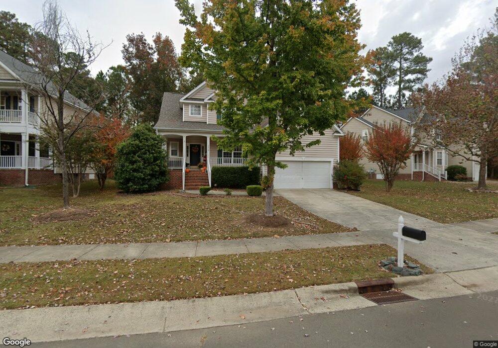
2510 Oleander Dr Durham, NC 27703
South Durham NeighborhoodEstimated Value: $463,000 - $501,000
3
Beds
3
Baths
2,265
Sq Ft
$211/Sq Ft
Est. Value
About This Home
This home is located at 2510 Oleander Dr, Durham, NC 27703 and is currently estimated at $478,682, approximately $211 per square foot. 2510 Oleander Dr is a home located in Durham County with nearby schools including Bethesda Elementary School, John W Neal Middle School, and Southern School of Energy & Sustainability.
Ownership History
Date
Name
Owned For
Owner Type
Purchase Details
Closed on
May 22, 2003
Sold by
Centex Homes
Bought by
Vu Han
Current Estimated Value
Home Financials for this Owner
Home Financials are based on the most recent Mortgage that was taken out on this home.
Original Mortgage
$162,400
Interest Rate
5.81%
Mortgage Type
Purchase Money Mortgage
Create a Home Valuation Report for This Property
The Home Valuation Report is an in-depth analysis detailing your home's value as well as a comparison with similar homes in the area
Home Values in the Area
Average Home Value in this Area
Purchase History
| Date | Buyer | Sale Price | Title Company |
|---|---|---|---|
| Vu Han | $210,500 | -- |
Source: Public Records
Mortgage History
| Date | Status | Borrower | Loan Amount |
|---|---|---|---|
| Closed | Vu Han | $162,400 |
Source: Public Records
Tax History
| Year | Tax Paid | Tax Assessment Tax Assessment Total Assessment is a certain percentage of the fair market value that is determined by local assessors to be the total taxable value of land and additions on the property. | Land | Improvement |
|---|---|---|---|---|
| 2025 | $5,161 | $520,613 | $128,100 | $392,513 |
| 2024 | $3,765 | $269,919 | $54,900 | $215,019 |
| 2023 | $3,536 | $269,919 | $54,900 | $215,019 |
| 2022 | $3,455 | $269,919 | $54,900 | $215,019 |
| 2021 | $3,438 | $269,919 | $54,900 | $215,019 |
| 2020 | $3,358 | $269,919 | $54,900 | $215,019 |
| 2019 | $3,358 | $269,919 | $54,900 | $215,019 |
| 2018 | $3,059 | $225,528 | $42,700 | $182,828 |
| 2017 | $3,037 | $225,528 | $42,700 | $182,828 |
| 2016 | $2,934 | $225,528 | $42,700 | $182,828 |
| 2015 | $3,144 | $227,135 | $50,345 | $176,790 |
| 2014 | $3,144 | $227,135 | $50,345 | $176,790 |
Source: Public Records
Map
Nearby Homes
- 3503 Long Ridge Rd
- 2701 Skybrook Ln
- 2216 Jollay St
- 111 Lang St
- 913 Wood Chapel Ln
- 5024 Dragonfly Dr
- 909 Wood Chapel Ln
- 4613 Angier Ave
- 4512 Brimmer St
- 2709 Hamilton Green Dr
- 1018 Flyfish Ave
- 1200 Bluewater Way
- 12 Sameer Ct
- 334 Westgrove Ct
- 19 Gandhi Dr
- 5226 Malik Dr
- 2214 Tw Alexander Dr
- 107 Vickery Hill Ct
- Ashland Plan at
- Cary Plan at
- 2512 Oleander Dr
- 2506 Oleander Dr
- 2514 Oleander Dr
- 4810 Mistletoe Ln
- 4808 Mistletoe Ln
- 4812 Mistletoe Ln
- 4806 Mistletoe Ln
- 2515 Oleander Dr
- 2513 Oleander Dr
- 2517 Oleander Dr
- 4804 Mistletoe Ln
- 4814 Mistletoe Ln
- 2511 Oleander Dr
- 2516 Oleander Dr
- 2509 Oleander Dr
- 2003 Carnation Dr
- 2519 Oleander Dr
- 2001 Carnation Dr
- 2521 Oleander Dr
- 4811 Mistletoe Ln
Your Personal Tour Guide
Ask me questions while you tour the home.