2511 Michael Ln SE Unit 4 Mandan, ND 58554
Estimated Value: $283,242 - $330,000
3
Beds
2
Baths
1,591
Sq Ft
$190/Sq Ft
Est. Value
About This Home
This home is located at 2511 Michael Ln SE Unit 4, Mandan, ND 58554 and is currently estimated at $301,561, approximately $189 per square foot. 2511 Michael Ln SE Unit 4 is a home located in Morton County with nearby schools including Lewis & Clark Elementary School, Mandan Middle School, and Mandan High School.
Ownership History
Date
Name
Owned For
Owner Type
Purchase Details
Closed on
Oct 13, 2021
Sold by
Ozbun Sonia K and Ozbun Gary
Bought by
Kovash Kenneth and Kovash Debra
Current Estimated Value
Purchase Details
Closed on
Jul 27, 2015
Sold by
Koch Construction Inc
Bought by
Ozbun Gary and Ozbun Sonia K
Home Financials for this Owner
Home Financials are based on the most recent Mortgage that was taken out on this home.
Original Mortgage
$64,900
Interest Rate
4.05%
Mortgage Type
New Conventional
Create a Home Valuation Report for This Property
The Home Valuation Report is an in-depth analysis detailing your home's value as well as a comparison with similar homes in the area
Home Values in the Area
Average Home Value in this Area
Purchase History
| Date | Buyer | Sale Price | Title Company |
|---|---|---|---|
| Kovash Kenneth | $235,000 | Bismarck Title Company | |
| Ozbun Gary | $229,900 | North Dakota Guaranty & Titl |
Source: Public Records
Mortgage History
| Date | Status | Borrower | Loan Amount |
|---|---|---|---|
| Previous Owner | Ozbun Gary | $64,900 |
Source: Public Records
Tax History Compared to Growth
Tax History
| Year | Tax Paid | Tax Assessment Tax Assessment Total Assessment is a certain percentage of the fair market value that is determined by local assessors to be the total taxable value of land and additions on the property. | Land | Improvement |
|---|---|---|---|---|
| 2024 | $369 | $130,000 | $0 | $0 |
| 2023 | $602 | $120,300 | $0 | $0 |
| 2022 | $2,974 | $114,950 | $0 | $0 |
| 2021 | $2,821 | $108,950 | $0 | $0 |
| 2020 | $2,836 | $187,800 | $0 | $0 |
| 2019 | $3,081 | $114,250 | $0 | $0 |
| 2018 | $2,934 | $114,250 | $12,500 | $101,750 |
| 2017 | $1,925 | $70,750 | $7,500 | $63,250 |
| 2016 | $1,837 | $70,750 | $7,500 | $63,250 |
| 2015 | $2,439 | $94,350 | $7,500 | $86,850 |
| 2014 | $1,498 | $45,050 | $5,950 | $39,100 |
Source: Public Records
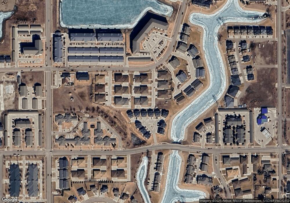
Map
Nearby Homes
- 4004 Bayport Place SE
- 4040 Mckenzie Dr SE Unit 1
- 4020 Mckenzie Dr SE Unit 4
- 4020 Mckenzie Dr SE Unit 5
- 4020 Mckenzie Dr SE Unit 7
- 4000 Mckenzie Dr SE Unit 12
- 4000 Mckenzie Dr SE Unit 7
- 2200 Shoal Loop SE
- 2801 40th Ave SE Unit 104
- 4103 Bayport Place SE
- 3305 Bay Shore Bend SE
- 3905 Lillian Ct SE
- 3814 Lillian Ct SE
- 2109 Bridgeview Ct SE
- 2008 Marina Rd SE
- 2207 Bridgeview Ct
- 2313 Pirates Loop SE
- 2005 34th Ave SE
- 2415 Dutton Cir SE
- 2411 Dutton Cir SE
- 2511 Michael Ln SE
- 2511 Michael Ln SE Unit 3
- 2511 Michael Ln SE Unit 2
- 2511 Michael Ln SE Unit 1
- 3-2507 Michael Ln SE
- 2507 Michael Ln SE
- 2507 Michael Ln SE Unit 2
- 2507 Michael Ln SE Unit 1
- 2601 Douglas Place SE
- 2609 Douglas Place SE
- 2613 Douglas Place SE
- 2604 Douglas Place SE
- 2510 Michael Ln
- 2617 Douglas Place SE
- 2605 Douglas Place SE
- 2602 Douglas Place SE
- 2612 Douglas Place SE
- 2621 Douglas Place SE
- 2616 Douglas Place SE
- 2508 Michael Ln SE