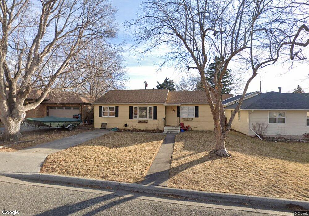
2515 Carl St Billings, MT 59102
North Central Billings NeighborhoodEstimated Value: $300,287 - $364,000
2
Beds
1
Bath
1,160
Sq Ft
$275/Sq Ft
Est. Value
About This Home
This home is located at 2515 Carl St, Billings, MT 59102 and is currently estimated at $319,572, approximately $275 per square foot. 2515 Carl St is a home located in Yellowstone County with nearby schools including Boulder School, Will James Junior High School, and Billings Senior High School.
Ownership History
Date
Name
Owned For
Owner Type
Purchase Details
Closed on
Dec 9, 2010
Sold by
Kern Barry E
Bought by
Falls Down Larry L and Falls Down Renee H
Current Estimated Value
Home Financials for this Owner
Home Financials are based on the most recent Mortgage that was taken out on this home.
Original Mortgage
$152,459
Outstanding Balance
$103,408
Interest Rate
4.75%
Mortgage Type
FHA
Estimated Equity
$216,164
Purchase Details
Closed on
Mar 4, 2008
Sold by
Robinson Regina E
Bought by
Kern Barry E
Home Financials for this Owner
Home Financials are based on the most recent Mortgage that was taken out on this home.
Original Mortgage
$155,769
Interest Rate
5.41%
Mortgage Type
FHA
Purchase Details
Closed on
Feb 9, 2006
Sold by
Madison Doris L and Madison Harold A
Bought by
Robinson Regina E
Purchase Details
Closed on
Aug 31, 2005
Sold by
Madison Harold A and Madison Doris L
Bought by
J W Liens Llc
Create a Home Valuation Report for This Property
The Home Valuation Report is an in-depth analysis detailing your home's value as well as a comparison with similar homes in the area
Home Values in the Area
Average Home Value in this Area
Purchase History
| Date | Buyer | Sale Price | Title Company |
|---|---|---|---|
| Falls Down Larry L | -- | St | |
| Kern Barry E | -- | None Available | |
| Robinson Regina E | -- | Stewart Title Of Billings | |
| J W Liens Llc | -- | None Available |
Source: Public Records
Mortgage History
| Date | Status | Borrower | Loan Amount |
|---|---|---|---|
| Open | Falls Down Larry L | $152,459 | |
| Previous Owner | Kern Barry E | $155,769 |
Source: Public Records
Tax History Compared to Growth
Tax History
| Year | Tax Paid | Tax Assessment Tax Assessment Total Assessment is a certain percentage of the fair market value that is determined by local assessors to be the total taxable value of land and additions on the property. | Land | Improvement |
|---|---|---|---|---|
| 2025 | $2,420 | $268,900 | $48,114 | $220,786 |
| 2024 | $2,420 | $241,500 | $45,892 | $195,608 |
| 2023 | $2,420 | $241,500 | $45,892 | $195,608 |
| 2022 | $2,081 | $181,100 | $0 | $0 |
| 2021 | $1,980 | $181,100 | $0 | $0 |
| 2020 | $1,896 | $164,800 | $0 | $0 |
| 2019 | $1,813 | $164,800 | $0 | $0 |
| 2018 | $1,667 | $147,100 | $0 | $0 |
| 2017 | $1,623 | $147,100 | $0 | $0 |
| 2016 | $1,722 | $159,900 | $0 | $0 |
| 2015 | $1,687 | $159,900 | $0 | $0 |
| 2014 | $1,500 | $75,101 | $0 | $0 |
Source: Public Records
Map
Nearby Homes
- 3107 Poly Dr
- 2912 Stinson Ave
- 3107 Boulder Ave
- 2717 Patricia Ln
- 2516 Lyndale Ln
- 2820 Boulder Ave
- 2614 Silver Blvd
- 3078 Colton Blvd
- 3065 Gregory Dr W
- 2825 Racquet Dr Unit 7
- 2815 Palm Dr
- 2748 Palm Dr
- 3237 Rimrock Rd
- 3106 Forsythia Blvd
- 2730 Gregory Dr S
- 2736 Palm Dr
- 2646 Rimrock Rd
- 3135 Sycamore Ln
- 3313 Rimrock Rd
- 2644 Rimrock Rd