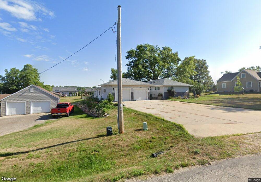
2516 Worthington Dr SW Cedar Rapids, IA 52404
Southwest Area NeighborhoodEstimated Value: $246,000 - $258,000
2
Beds
3
Baths
1,345
Sq Ft
$189/Sq Ft
Est. Value
About This Home
This home is located at 2516 Worthington Dr SW, Cedar Rapids, IA 52404 and is currently estimated at $254,377, approximately $189 per square foot. 2516 Worthington Dr SW is a home located in Linn County with nearby schools including Prairie Heights Elementary School, Prairie View Elementary School, and Prairie Crest Elementary School.
Ownership History
Date
Name
Owned For
Owner Type
Purchase Details
Closed on
Feb 3, 2006
Sold by
Us Bank Na
Bought by
Bales Gary D
Current Estimated Value
Home Financials for this Owner
Home Financials are based on the most recent Mortgage that was taken out on this home.
Original Mortgage
$92,400
Outstanding Balance
$52,448
Interest Rate
6.34%
Mortgage Type
Fannie Mae Freddie Mac
Estimated Equity
$201,929
Purchase Details
Closed on
Jun 6, 2000
Sold by
Mccullough L Lynn and Mccullough Nancy K
Bought by
Gordon Kenneth R and Gordon Lavonda M
Home Financials for this Owner
Home Financials are based on the most recent Mortgage that was taken out on this home.
Original Mortgage
$108,000
Interest Rate
8.12%
Create a Home Valuation Report for This Property
The Home Valuation Report is an in-depth analysis detailing your home's value as well as a comparison with similar homes in the area
Home Values in the Area
Average Home Value in this Area
Purchase History
| Date | Buyer | Sale Price | Title Company |
|---|---|---|---|
| Bales Gary D | $115,000 | None Available | |
| Gordon Kenneth R | $127,500 | -- |
Source: Public Records
Mortgage History
| Date | Status | Borrower | Loan Amount |
|---|---|---|---|
| Open | Bales Gary D | $92,400 | |
| Previous Owner | Gordon Kenneth R | $108,000 |
Source: Public Records
Tax History Compared to Growth
Tax History
| Year | Tax Paid | Tax Assessment Tax Assessment Total Assessment is a certain percentage of the fair market value that is determined by local assessors to be the total taxable value of land and additions on the property. | Land | Improvement |
|---|---|---|---|---|
| 2025 | $3,734 | $239,700 | $33,300 | $206,400 |
| 2024 | $3,760 | $241,800 | $33,300 | $208,500 |
| 2023 | $3,760 | $197,100 | $33,300 | $163,800 |
| 2022 | $3,156 | $169,700 | $33,300 | $136,400 |
| 2021 | $3,198 | $145,200 | $33,300 | $111,900 |
| 2020 | $3,198 | $140,500 | $33,300 | $107,200 |
| 2019 | $3,092 | $137,900 | $33,300 | $104,600 |
| 2018 | $3,008 | $137,900 | $33,300 | $104,600 |
| 2017 | $2,858 | $139,000 | $33,300 | $105,700 |
| 2016 | $2,858 | $132,100 | $33,300 | $98,800 |
| 2015 | $2,796 | $129,926 | $33,300 | $96,626 |
| 2014 | $2,796 | $129,926 | $33,300 | $96,626 |
| 2013 | $2,658 | $129,926 | $33,300 | $96,626 |
Source: Public Records
Map
Nearby Homes
- 5810 Bethpage Cir SW
- Tbd Old River Rd SW
- 0 41st Avenue Dr SW Unit 202507355
- 0 41st Avenue Dr SW Unit 1 Ac
- 0 41st Avenue Dr SW Unit 2.25 Ac
- 1410 Scarlet Sage Dr SW
- 5112 Scenic View Ct SW
- 3728 Sunshine St SW
- TBD Old River Rd SW
- Lot 2
- Lot 6 College Farms 5th Addition SW
- 6614 Scarlet Rose Cir SW
- 1719 Prairie Rose Dr SW
- 6612 Artesa Bell Dr SW
- 6812 Artesa Bell Dr SW
- 7006 Colpepper Dr SW
- 7113 Chenango Ln SW
- 72 Miller Ave SW Unit 8
- 4240 Briar Ridge Ct
- 2426 Kestrel Dr SE
- 2526 Worthington Dr SW
- 2500 Worthington Dr SW
- 2523 Navajo Ave SW
- 2517 Navajo Ave SW
- 2601 Navajo Ave SW
- 2537 Worthington Dr SW
- 2511 Navajo Ave SW
- 2607 Navajo Ave SW
- 2527 Worthington Dr SW
- 2505 Navajo Ave SW
- 2613 Navajo Ave SW
- 2546 Worthington Dr SW
- 2619 Navajo Ave SW
- 2518 Navajo Ave SW
- 2510 Navajo Ave SW
- 2604 Navajo Ave SW
- 2550 Worthington Dr SW
- 5011 Ely Rd SW
- 2610 Navajo Ave SW
- 2705 Navajo Ave SW