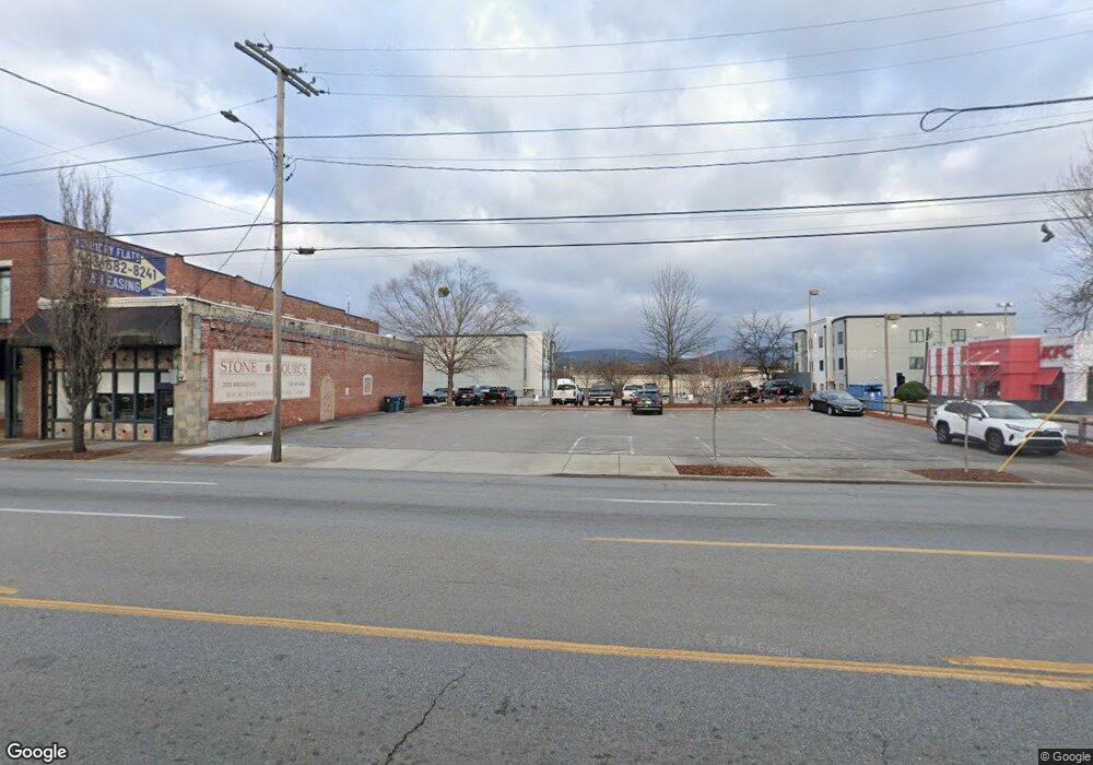
2517 Broad St Chattanooga, TN 37408
Southside NeighborhoodEstimated Value: $228,148
--
Bed
--
Bath
1,680
Sq Ft
$136/Sq Ft
Est. Value
About This Home
This home is located at 2517 Broad St, Chattanooga, TN 37408 and is currently estimated at $228,148, approximately $135 per square foot. 2517 Broad St is a home located in Hamilton County with nearby schools including Orchard Knob Middle School, The Howard School, and Chattanooga Christian School.
Ownership History
Date
Name
Owned For
Owner Type
Purchase Details
Closed on
May 18, 2007
Sold by
Baker Frank B and Harrison Robert Earl
Bought by
Baker Frank B and Smith George Blackwell
Current Estimated Value
Home Financials for this Owner
Home Financials are based on the most recent Mortgage that was taken out on this home.
Original Mortgage
$103,779
Interest Rate
6.12%
Mortgage Type
Commercial
Purchase Details
Closed on
Jul 14, 2000
Sold by
Abe Shavin Hardware Inc
Bought by
Baker Frank B and Harrison Robert Earl
Home Financials for this Owner
Home Financials are based on the most recent Mortgage that was taken out on this home.
Original Mortgage
$52,000
Interest Rate
8.23%
Mortgage Type
Commercial
Create a Home Valuation Report for This Property
The Home Valuation Report is an in-depth analysis detailing your home's value as well as a comparison with similar homes in the area
Home Values in the Area
Average Home Value in this Area
Purchase History
| Date | Buyer | Sale Price | Title Company |
|---|---|---|---|
| Baker Frank B | $85,000 | None Available | |
| Baker Frank B | $65,000 | Pioneer Title Agency Inc |
Source: Public Records
Mortgage History
| Date | Status | Borrower | Loan Amount |
|---|---|---|---|
| Closed | Baker Frank B | $103,779 | |
| Closed | Baker Frank B | $52,000 |
Source: Public Records
Tax History Compared to Growth
Tax History
| Year | Tax Paid | Tax Assessment Tax Assessment Total Assessment is a certain percentage of the fair market value that is determined by local assessors to be the total taxable value of land and additions on the property. | Land | Improvement |
|---|---|---|---|---|
| 2024 | $2,176 | $97,280 | $0 | $0 |
| 2023 | $2,176 | $97,280 | $0 | $0 |
| 2022 | $2,176 | $97,280 | $0 | $0 |
| 2021 | $2,176 | $97,280 | $0 | $0 |
| 2020 | $1,951 | $70,560 | $0 | $0 |
| 2019 | $1,951 | $70,560 | $0 | $0 |
| 2018 | $1,986 | $70,560 | $0 | $0 |
| 2017 | $1,951 | $70,560 | $0 | $0 |
| 2016 | $1,435 | $0 | $0 | $0 |
| 2015 | $2,978 | $51,880 | $0 | $0 |
| 2014 | $2,618 | $0 | $0 | $0 |
Source: Public Records
Map
Nearby Homes
- 2642 Broad St
- 757 Burnside Place
- 789 Burnside Place
- 737 Burnside Place
- 825 Burnside Place
- 1493 Sinclair Ave
- 277 W 19th St
- 114 W 19th St
- 310 W 18th St
- 1966 Mitchell Ave
- 1967 Read Ave
- 1704 Williams St
- 1714 Long St
- 164 W 17th St Unit 164
- 1728 Mitchell Ave
- 1413 Stockyard Place
- 201 W 17th St
- 1450 Stockyard Place Unit 36
- 1450 Stockyard Place
- 1482 Stockyard Place