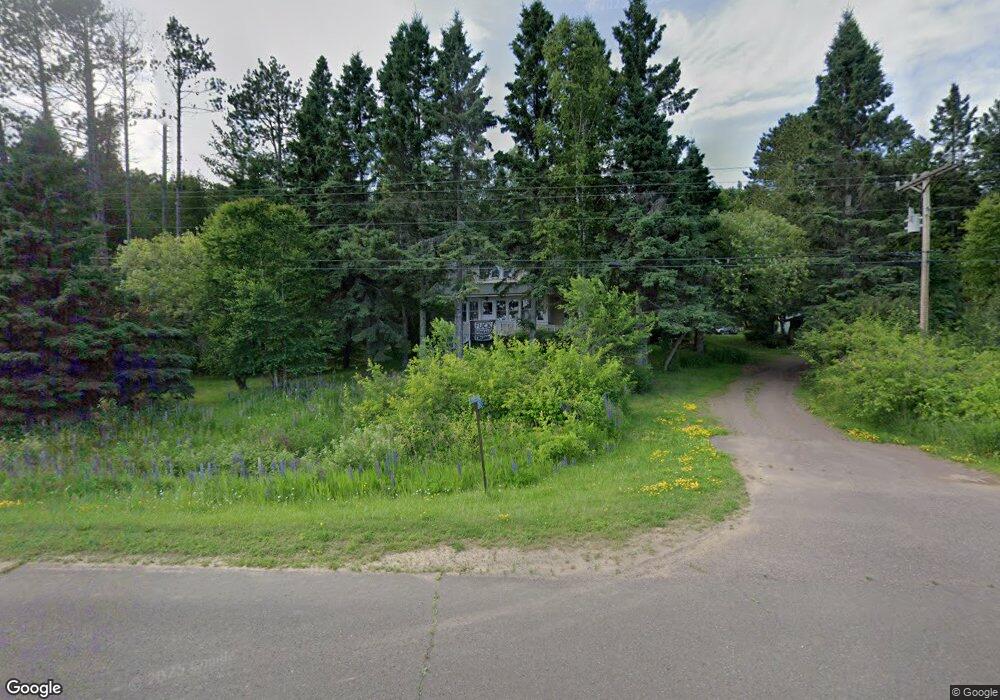
2517 Highway 61 Two Harbors, MN 55616
Estimated Value: $616,000 - $823,000
2
Beds
1
Bath
1,638
Sq Ft
$437/Sq Ft
Est. Value
About This Home
This home is located at 2517 Highway 61, Two Harbors, MN 55616 and is currently estimated at $715,232, approximately $436 per square foot. 2517 Highway 61 is a home located in Lake County with nearby schools including Minnehaha Elementary School and Two Harbors Secondary.
Ownership History
Date
Name
Owned For
Owner Type
Purchase Details
Closed on
Nov 19, 2010
Sold by
Briggs Thurl W and Briggs Violet Lavonne
Bought by
West Gerald L and West Barbara J
Current Estimated Value
Home Financials for this Owner
Home Financials are based on the most recent Mortgage that was taken out on this home.
Original Mortgage
$246,400
Outstanding Balance
$162,571
Interest Rate
4.27%
Mortgage Type
New Conventional
Estimated Equity
$552,661
Create a Home Valuation Report for This Property
The Home Valuation Report is an in-depth analysis detailing your home's value as well as a comparison with similar homes in the area
Home Values in the Area
Average Home Value in this Area
Purchase History
| Date | Buyer | Sale Price | Title Company |
|---|---|---|---|
| West Gerald L | $308,000 | None Available |
Source: Public Records
Mortgage History
| Date | Status | Borrower | Loan Amount |
|---|---|---|---|
| Open | West Gerald L | $246,400 |
Source: Public Records
Tax History Compared to Growth
Tax History
| Year | Tax Paid | Tax Assessment Tax Assessment Total Assessment is a certain percentage of the fair market value that is determined by local assessors to be the total taxable value of land and additions on the property. | Land | Improvement |
|---|---|---|---|---|
| 2025 | $3,032 | $648,800 | $180,100 | $468,700 |
| 2024 | $1,835 | $552,900 | $135,100 | $417,800 |
| 2023 | $1,911 | $498,500 | $93,300 | $405,200 |
| 2022 | $2,290 | $468,100 | $73,100 | $395,000 |
| 2021 | $2,305 | $296,400 | $73,100 | $223,300 |
| 2020 | $2,203 | $296,700 | $73,100 | $223,600 |
| 2019 | $2,272 | $281,000 | $73,100 | $207,900 |
| 2018 | $2,213 | $281,000 | $73,100 | $207,900 |
| 2017 | $2,189 | $269,700 | $73,100 | $196,600 |
| 2016 | $1,792 | $282,700 | $85,900 | $196,800 |
| 2015 | $2,007 | $241,700 | $80,100 | $161,600 |
| 2014 | $2,007 | $0 | $0 | $0 |
| 2013 | $1,643 | $0 | $0 | $0 |
| 2012 | $2,479 | $0 | $0 | $0 |
Source: Public Records
Map
Nearby Homes
- 2826 Highway 61
- 1928 Loop Rd
- 2911 Clark Rd
- 2202 Fors Rd
- 1690 Highway 61
- 1768 Stewart River Rd
- 3213 E Alger Grade
- 2270 Highway 2
- 2240 Highway 2
- 2036 Highway 2
- 1563 Highway 61
- 1871 Highway 2
- 1621 #71 Superior Shores Unit 1/8 fractional owner
- 1624 #85 Superior Shores Unit 1/8 fractional owner
- 1611 #57B Superior Shores Unit 1/8 Interval Ownersh
- 1603 Superior Shores Dr Unit 49
- 1594 Superior Shores Dr Unit 111
- 1621 Superior Shores Dr Unit 71
- 1567 Superior Shores Dr Unit 27
- 1555 Superior Shores Dr Unit 15
- 2517 Highway 61
- 2517 Highway 61
- 2517 Highway 61
- 2517 Highway 61
- 2517 Highway 61
- 2517 Highway 61
- 2517 Highway 61
- 2525 Highway 61
- 2510 Highway 61
- 2534 Highway 61
- 2511 Highway 61
- 2538 Highway 61
- 2483 Highway 61
- 2549 Highway 61
- 2549 Highway 61
- 2549 Highway 61
- 2506 Highway 61
- 2548 Highway 61
- 2352 Cliff View Trail
- 2350 Cliff View Trail