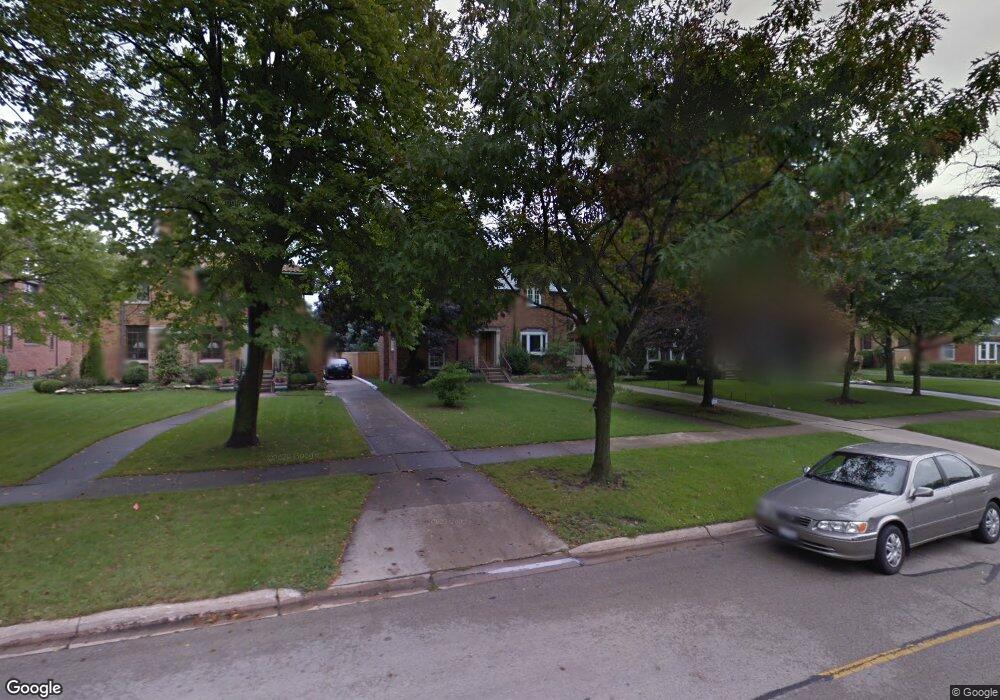
252 Addison Rd Riverside, IL 60546
Estimated Value: $610,811 - $699,000
4
Beds
2
Baths
2,014
Sq Ft
$328/Sq Ft
Est. Value
About This Home
This home is located at 252 Addison Rd, Riverside, IL 60546 and is currently estimated at $661,453, approximately $328 per square foot. 252 Addison Rd is a home located in Cook County with nearby schools including Central Elementary School, L J Hauser Jr High School, and Riverside Brookfield High School.
Ownership History
Date
Name
Owned For
Owner Type
Purchase Details
Closed on
Aug 21, 2012
Sold by
Gentile Jennifer A and Dahlberg Jennifer A
Bought by
Gentile Michael L and Gentile Jennifer A
Current Estimated Value
Purchase Details
Closed on
May 15, 2000
Sold by
Mullen Terrence J and Mullen Gina M
Bought by
Gentile Michael L and Dahlberg Jennifer A
Home Financials for this Owner
Home Financials are based on the most recent Mortgage that was taken out on this home.
Original Mortgage
$270,400
Outstanding Balance
$89,126
Interest Rate
8.12%
Estimated Equity
$572,327
Create a Home Valuation Report for This Property
The Home Valuation Report is an in-depth analysis detailing your home's value as well as a comparison with similar homes in the area
Home Values in the Area
Average Home Value in this Area
Purchase History
| Date | Buyer | Sale Price | Title Company |
|---|---|---|---|
| Gentile Michael L | -- | None Available | |
| Gentile Michael L | $338,000 | -- |
Source: Public Records
Mortgage History
| Date | Status | Borrower | Loan Amount |
|---|---|---|---|
| Open | Gentile Michael L | $270,400 |
Source: Public Records
Tax History
| Year | Tax Paid | Tax Assessment Tax Assessment Total Assessment is a certain percentage of the fair market value that is determined by local assessors to be the total taxable value of land and additions on the property. | Land | Improvement |
|---|---|---|---|---|
| 2025 | $16,214 | $54,000 | $8,323 | $45,677 |
| 2024 | $16,214 | $54,000 | $8,323 | $45,677 |
| 2023 | $16,718 | $54,000 | $8,323 | $45,677 |
| 2022 | $16,718 | $48,185 | $7,283 | $40,902 |
| 2021 | $16,097 | $47,067 | $7,282 | $39,785 |
| 2020 | $15,651 | $47,067 | $7,282 | $39,785 |
| 2019 | $13,473 | $41,710 | $6,658 | $35,052 |
| 2018 | $13,076 | $41,710 | $6,658 | $35,052 |
| 2017 | $12,671 | $41,710 | $6,658 | $35,052 |
| 2016 | $11,634 | $35,532 | $5,826 | $29,706 |
| 2015 | $11,324 | $35,532 | $5,826 | $29,706 |
| 2014 | $11,990 | $38,021 | $5,826 | $32,195 |
| 2013 | $11,702 | $40,141 | $5,826 | $34,315 |
Source: Public Records
Map
Nearby Homes
- 269 Shenstone Rd
- 193 Herrick Rd
- 369 Addison Rd
- 108 E Burlington St Unit B
- 475 Shenstone Rd Unit 104
- 475 Shenstone Rd Unit 304
- 475 Shenstone Rd Unit 303
- 484 Shenstone Rd
- 231 Bartram Rd
- 478 Kent Rd
- 10 E Burlington St Unit 2C
- 10 E Burlington St Unit 2B
- 284 Blackhawk Rd
- 280 Blackhawk Rd
- 176 Riverside Rd
- 315 Bartram Rd
- 262 Lionel Rd
- 101 Southcote Rd
- 7048 35th St
- 3111 Wenonah Ave
- 248 Addison Rd
- 256 Addison Rd
- 244 Addison Rd
- 260 Addison Rd
- 264 Addison Rd
- 240 Addison Rd
- 281 Shenstone Rd
- 277 Shenstone Rd
- 285 Shenstone Rd
- 273 Shenstone Rd
- 268 Addison Rd
- 289 Shenstone Rd
- 236 Addison Rd
- 272 Addison Rd
- 293 Shenstone Rd
- 265 Shenstone Rd
- 255 Addison Rd
- 259 Addison Rd
- 297 Shenstone Rd
- 243 Addison Rd
Your Personal Tour Guide
Ask me questions while you tour the home.