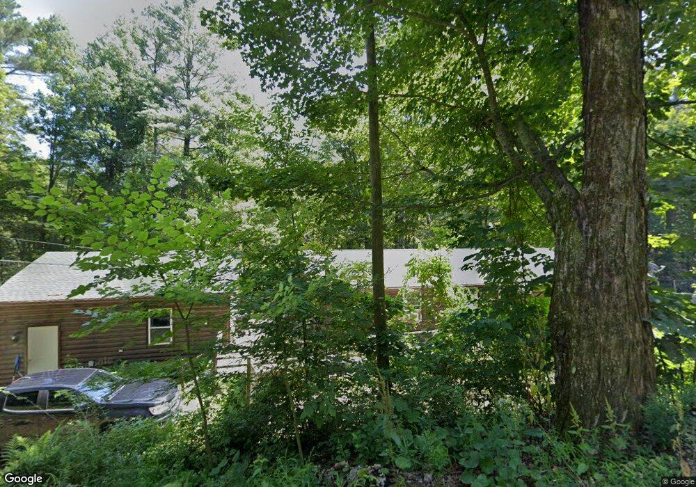
252 E Colrain Rd Colrain, MA 01340
Colrain NeighborhoodEstimated Value: $399,187 - $512,000
3
Beds
3
Baths
1,552
Sq Ft
$283/Sq Ft
Est. Value
About This Home
This home is located at 252 E Colrain Rd, Colrain, MA 01340 and is currently estimated at $439,797, approximately $283 per square foot. 252 E Colrain Rd is a home located in Franklin County with nearby schools including Mohawk Trail Regional High School.
Ownership History
Date
Name
Owned For
Owner Type
Purchase Details
Closed on
Jan 22, 2002
Sold by
Gaines Edmund P
Bought by
Haskell Naomi S and Long Dale D
Current Estimated Value
Purchase Details
Closed on
Aug 5, 1998
Sold by
Graves Leonard G and Graves Leonard W
Bought by
Gaines Edmund P
Purchase Details
Closed on
Aug 16, 1991
Sold by
Scranton Mark D
Bought by
Graves Leonard G
Create a Home Valuation Report for This Property
The Home Valuation Report is an in-depth analysis detailing your home's value as well as a comparison with similar homes in the area
Home Values in the Area
Average Home Value in this Area
Purchase History
| Date | Buyer | Sale Price | Title Company |
|---|---|---|---|
| Haskell Naomi S | $131,500 | -- | |
| Gaines Edmund P | $118,500 | -- | |
| Graves Leonard G | $125,000 | -- |
Source: Public Records
Mortgage History
| Date | Status | Borrower | Loan Amount |
|---|---|---|---|
| Open | Graves Leonard G | $195,693 | |
| Closed | Graves Leonard G | $20,000 |
Source: Public Records
Tax History
| Year | Tax Paid | Tax Assessment Tax Assessment Total Assessment is a certain percentage of the fair market value that is determined by local assessors to be the total taxable value of land and additions on the property. | Land | Improvement |
|---|---|---|---|---|
| 2025 | $5,608 | $307,100 | $44,200 | $262,900 |
| 2024 | $4,975 | $262,100 | $44,200 | $217,900 |
| 2023 | $4,827 | $245,900 | $43,300 | $202,600 |
| 2022 | $4,968 | $242,600 | $38,100 | $204,500 |
| 2021 | $4,736 | $223,800 | $36,700 | $187,100 |
| 2020 | $4,349 | $218,200 | $36,700 | $181,500 |
| 2019 | $4,383 | $213,100 | $36,700 | $176,400 |
| 2018 | $4,344 | $214,600 | $36,700 | $177,900 |
| 2017 | $4,255 | $216,000 | $36,700 | $179,300 |
| 2016 | $3,927 | $210,200 | $36,700 | $173,500 |
| 2015 | $3,828 | $211,600 | $36,700 | $174,900 |
Source: Public Records
Map
Nearby Homes
- 151 Smead Hill Rd
- 25 Barton Rd
- 714 Colrain Rd
- 187 Plain Rd
- 34 Brookside Ave
- 4 Pickett Ln
- 6 Pickett Ln
- 71 George Lamb Rd
- 132 Poplar St
- 77 Summer St
- 539 Fox Hill Rd
- 696 Bernardston Rd
- 89 Columbus Ave
- 414 Mohawk Trail
- 37 Cleveland St
- 32 Homestead Ave
- 372 Federal St
- 173-175 Conway St
- 335 Federal St
- 36 West St
- 246 E Colrain Rd
- 253 E Colrain Rd
- 261 E Colrain Rd
- 238 E Colrain Rd
- 262 E Colrain Rd
- 267 E Colrain Rd
- 271 E Colrain Rd
- 268 E Colrain Rd
- 145 Van Nuys Rd
- 161 Van Nuys Rd
- 215 E Colrain Rd
- 230 E Colrain Rd
- 7 Shearer Rd
- 120 Smead Hill Rd
- 38 Shearer Rd
- 206 E Colrain Rd
- 28 Shearer Rd
- 205 E Colrain Rd
- 106 Van Nuys Rd
- 0 Shearer Rd
Your Personal Tour Guide
Ask me questions while you tour the home.