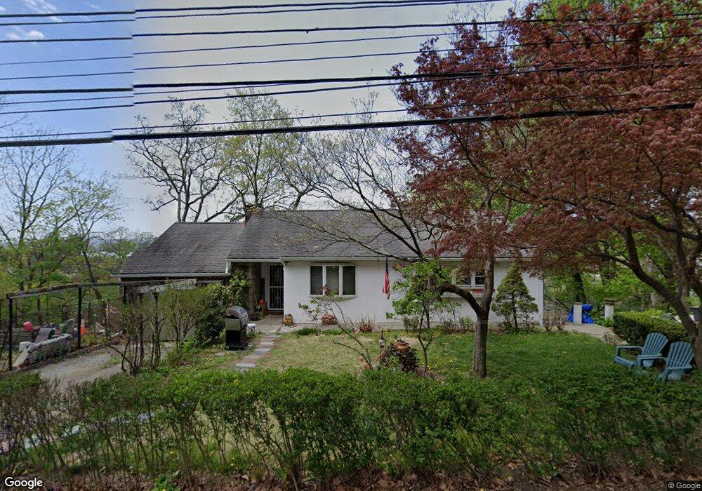
252 High St Peekskill, NY 10566
Estimated Value: $307,000 - $466,000
Studio
--
Bath
--
Sq Ft
7,971
Sq Ft Lot
About This Home
This home is located at 252 High St, Peekskill, NY 10566 and is currently estimated at $389,924. 252 High St is a home located in Westchester County with nearby schools including Oakside School, Hillcrest School, and Woodside Elementary School.
Ownership History
Date
Name
Owned For
Owner Type
Purchase Details
Closed on
Oct 28, 2020
Sold by
Astrologo Paul and Estate Of Josephine Astrologo
Bought by
Santiago Rachel Elisabeth and Santiago Kevin Christopher
Current Estimated Value
Home Financials for this Owner
Home Financials are based on the most recent Mortgage that was taken out on this home.
Original Mortgage
$178,500
Interest Rate
2.9%
Mortgage Type
New Conventional
Create a Home Valuation Report for This Property
The Home Valuation Report is an in-depth analysis detailing your home's value as well as a comparison with similar homes in the area
Home Values in the Area
Average Home Value in this Area
Purchase History
| Date | Buyer | Sale Price | Title Company |
|---|---|---|---|
| Santiago Rachel Elisabeth | $210,000 | Rg Title Agency Llc |
Source: Public Records
Mortgage History
| Date | Status | Borrower | Loan Amount |
|---|---|---|---|
| Closed | Santiago Rachel Elisabeth | $178,500 |
Source: Public Records
Tax History
| Year | Tax Paid | Tax Assessment Tax Assessment Total Assessment is a certain percentage of the fair market value that is determined by local assessors to be the total taxable value of land and additions on the property. | Land | Improvement |
|---|---|---|---|---|
| 2024 | $11,548 | $9,200 | $1,500 | $7,700 |
| 2023 | $11,263 | $9,200 | $1,500 | $7,700 |
| 2022 | $11,134 | $9,200 | $1,500 | $7,700 |
| 2021 | $10,809 | $9,200 | $1,500 | $7,700 |
| 2020 | $10,601 | $9,200 | $1,500 | $7,700 |
| 2019 | $10,232 | $9,200 | $1,500 | $7,700 |
| 2018 | $2,336 | $9,200 | $1,500 | $7,700 |
| 2017 | $2,336 | $9,200 | $1,500 | $7,700 |
| 2016 | $9,642 | $9,200 | $1,500 | $7,700 |
| 2015 | $2,327 | $9,200 | $1,500 | $7,700 |
| 2014 | $2,327 | $9,200 | $1,500 | $7,700 |
| 2013 | $2,327 | $9,200 | $1,500 | $7,700 |
Source: Public Records
Map
Nearby Homes
- 1106 Orchard St
- 150 Overlook Ave Unit 4L
- 150 Overlook Ave Unit 1S
- 150 Overlook Ave Unit 6L
- 1204 Main St
- 974 Main St
- 9 N James St Unit B
- 4 Rolling Way Unit D
- 8 N James St Unit G
- 1 Rolling Way Unit C
- 956 Paulding St
- 669 N Division St
- 925 Constant Ave
- 1716 Westchester Ave
- 1463 Lincoln Terrace
- 103 Leda Dr
- 1716A Main St
- 1605 Crompond Rd
- 964 Pemart Ave
- 108 Union Ave
- 1210 Orchard St
- 1208 Orchard St
- 1209 Orchard St
- 1225 Orchard St
- 1215 Orchard St
- 1150 Orchard St
- 258 High St
- 258 High St Unit 2nd flr
- 321 N Broad St
- 317 N Broad St
- 228 High St
- 311 N Broad St
- 260 High St
- 1146 Orchard St
- 1221 Constant Ave
- 226 High St
- 229 N Broad St
- 307 N Broad St
- 1313 Constant Ave
- 1217 Constant Ave
Your Personal Tour Guide
Ask me questions while you tour the home.