25208 Loring Rd Lawrence, KS 66044
Estimated Value: $312,000 - $450,000
3
Beds
2
Baths
1,698
Sq Ft
$224/Sq Ft
Est. Value
About This Home
This home is located at 25208 Loring Rd, Lawrence, KS 66044 and is currently estimated at $381,145, approximately $224 per square foot. 25208 Loring Rd is a home located in Leavenworth County with nearby schools including Woodlawn Elementary School, Liberty Memorial Central Middle School, and Lawrence Free State High School.
Ownership History
Date
Name
Owned For
Owner Type
Purchase Details
Closed on
Jan 1, 1993
Bought by
Molby Frank W and Molby Sharon K
Current Estimated Value
Home Financials for this Owner
Home Financials are based on the most recent Mortgage that was taken out on this home.
Original Mortgage
$100,000
Outstanding Balance
$82,508
Interest Rate
8.14%
Mortgage Type
New Conventional
Estimated Equity
$298,637
Create a Home Valuation Report for This Property
The Home Valuation Report is an in-depth analysis detailing your home's value as well as a comparison with similar homes in the area
Home Values in the Area
Average Home Value in this Area
Purchase History
| Date | Buyer | Sale Price | Title Company |
|---|---|---|---|
| Molby Frank W | -- | -- |
Source: Public Records
Mortgage History
| Date | Status | Borrower | Loan Amount |
|---|---|---|---|
| Open | Molby Frank W | $100,000 |
Source: Public Records
Tax History Compared to Growth
Tax History
| Year | Tax Paid | Tax Assessment Tax Assessment Total Assessment is a certain percentage of the fair market value that is determined by local assessors to be the total taxable value of land and additions on the property. | Land | Improvement |
|---|---|---|---|---|
| 2025 | $3,653 | $35,155 | $6,995 | $28,160 |
| 2024 | $3,558 | $35,073 | $6,414 | $28,659 |
| 2023 | $3,558 | $34,052 | $6,661 | $27,391 |
| 2022 | $3,271 | $31,694 | $5,337 | $26,357 |
| 2021 | $2,802 | $26,121 | $4,762 | $21,359 |
| 2020 | $2,580 | $23,966 | $4,644 | $19,322 |
| 2019 | $2,412 | $22,264 | $4,644 | $17,620 |
| 2018 | $2,216 | $20,187 | $3,494 | $16,693 |
| 2017 | $2,047 | $18,389 | $3,034 | $15,355 |
| 2016 | $1,911 | $17,552 | $2,740 | $14,812 |
| 2015 | $1,707 | $15,303 | $2,740 | $12,563 |
| 2014 | $1,631 | $14,857 | $2,697 | $12,160 |
Source: Public Records
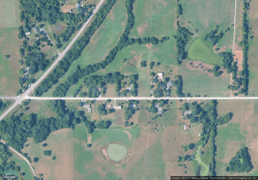
Map
Nearby Homes
- 25388 Chieftain Rd
- 25130 Chieftain Rd
- 00000 246th Lot#2 St
- Lot 13 Primrose Ln
- 0000 Chieftain Rd
- 24305 Loring Rd
- Lot 2 Linwood Rd
- Lot 3 258th St
- Lot 2 258th St
- Lot 4 258th St
- Lot 8 Cantrell Rd
- Lot 10 Cantrell Rd
- Lot 1 Cantrell Rd
- Lot 12 Cantrell Rd
- Lot 11 Cantrell Rd
- Lot 9 Cantrell Rd
- Lot 5 238th St
- 11509 238th St
- 25139 Hemphill Rd
- 23436 Guthrie Rd
- 25207 Loring Rd
- Lot 5 Loring Rd
- Lot 4 Loring Rd
- 25227 Loring Rd
- 25258 Loring Rd
- 25165 Loring Rd
- 25160 Loring Rd
- 25275 Loring Rd
- 25099 Loring Rd
- 25308 Chieftain Rd
- 25324 Chieftain Rd
- 25323 Chieftain Rd
- 25012 Loring Rd
- 24941 Loring Rd
- 24941 Loring Rd
- 24941 Loring Rd
- SW 20 Chieftain Rd
- 24921 Loring Rd
- 24921 Loring Rd
- 0000 Loring Rd