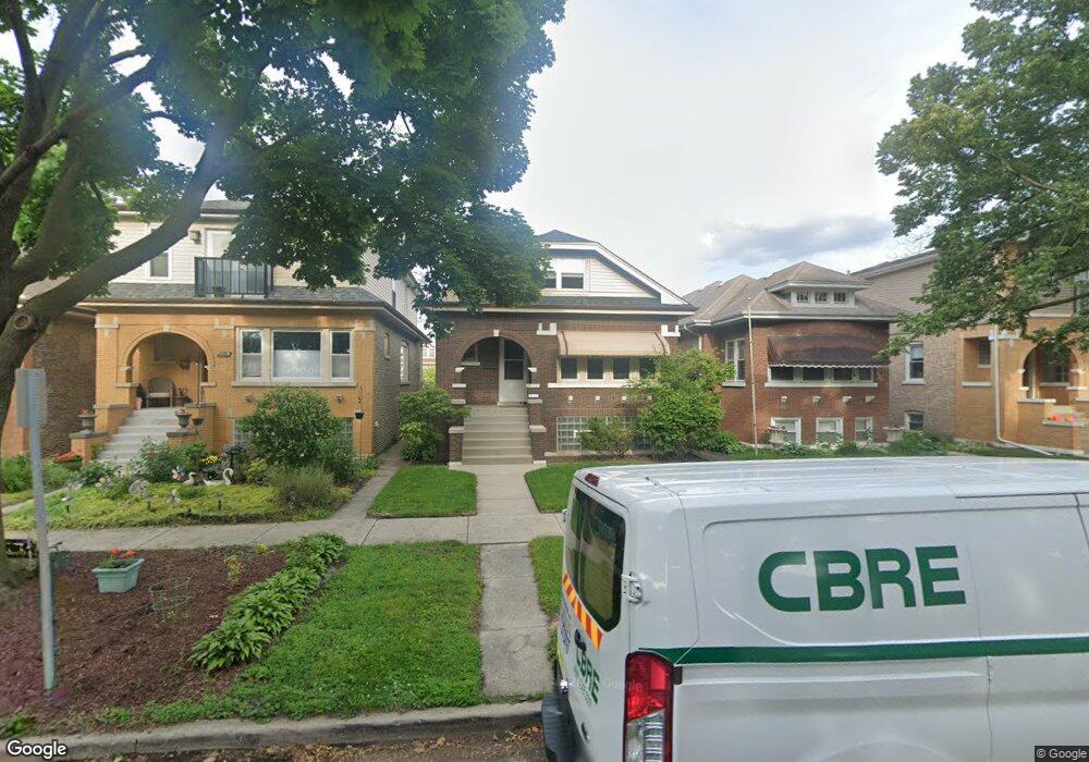
2521 Keystone Ave Riverside, IL 60546
Estimated Value: $337,271 - $443,000
2
Beds
1
Bath
1,284
Sq Ft
$304/Sq Ft
Est. Value
About This Home
This home is located at 2521 Keystone Ave, Riverside, IL 60546 and is currently estimated at $390,068, approximately $303 per square foot. 2521 Keystone Ave is a home located in Cook County with nearby schools including A F Ames Elementary School, L J Hauser Jr High School, and Riverside Brookfield High School.
Ownership History
Date
Name
Owned For
Owner Type
Purchase Details
Closed on
Oct 24, 2007
Sold by
Isaacson Susan M
Bought by
Isaacson Matthew D
Current Estimated Value
Home Financials for this Owner
Home Financials are based on the most recent Mortgage that was taken out on this home.
Original Mortgage
$240,000
Interest Rate
6.31%
Mortgage Type
Purchase Money Mortgage
Create a Home Valuation Report for This Property
The Home Valuation Report is an in-depth analysis detailing your home's value as well as a comparison with similar homes in the area
Home Values in the Area
Average Home Value in this Area
Purchase History
| Date | Buyer | Sale Price | Title Company |
|---|---|---|---|
| Isaacson Matthew D | -- | None Available |
Source: Public Records
Mortgage History
| Date | Status | Borrower | Loan Amount |
|---|---|---|---|
| Previous Owner | Isaacson Matthew D | $240,000 |
Source: Public Records
Tax History
| Year | Tax Paid | Tax Assessment Tax Assessment Total Assessment is a certain percentage of the fair market value that is determined by local assessors to be the total taxable value of land and additions on the property. | Land | Improvement |
|---|---|---|---|---|
| 2025 | $6,711 | $27,427 | $3,750 | $23,677 |
| 2024 | $6,711 | $27,427 | $3,750 | $23,677 |
| 2023 | $5,201 | $27,427 | $3,750 | $23,677 |
| 2022 | $5,201 | $19,075 | $3,281 | $15,794 |
| 2021 | $5,279 | $19,845 | $3,281 | $16,564 |
| 2020 | $5,190 | $19,845 | $3,281 | $16,564 |
| 2019 | $4,118 | $16,970 | $3,000 | $13,970 |
| 2018 | $3,998 | $16,970 | $3,000 | $13,970 |
| 2017 | $4,359 | $18,546 | $3,000 | $15,546 |
| 2016 | $3,565 | $14,220 | $2,625 | $11,595 |
| 2015 | $4,128 | $16,556 | $2,625 | $13,931 |
| 2014 | $4,143 | $16,556 | $2,625 | $13,931 |
| 2013 | $4,139 | $17,699 | $2,625 | $15,074 |
Source: Public Records
Map
Nearby Homes
- 2433 Keystone Ave
- 2527 Keystone Ave
- 2311 Park Ave
- 410 Repton Rd
- 367 Bartram Rd
- 2245 Des Plaines Ave Unit A
- 2230 Keystone Ave
- 2233 Des Plaines Ave
- 101 Southcote Rd
- 315 Bartram Rd
- 2252 Northgate Ave
- 305 Desplaines Ave
- 8117 W 30th St
- 231 Bartram Rd
- 2522 S 3rd Ave
- 236 Maplewood Rd
- 562 Byrd Rd
- 220 Maplewood Rd
- 571 Byrd Rd
- 478 Kent Rd
- 2519 Keystone Ave
- 2523 Keystone Ave
- 2517 Keystone Ave
- 2525 Keystone Ave
- 2515 Keystone Ave
- 2520 Forest Ave
- 2518 Forest Ave
- 2522 Forest Ave
- 2511 Keystone Ave
- 2516 Forest Ave
- 2524 Forest Ave
- 2514 Forest Ave
- 2526 Forest Ave
- 2509 Keystone Ave
- 2512 Forest Ave
- 2520 Keystone Ave
- 7910 W 26th St Unit 7
- 7910 W 26th St
- 2518 Keystone Ave
- 7918 W 26th St
Your Personal Tour Guide
Ask me questions while you tour the home.