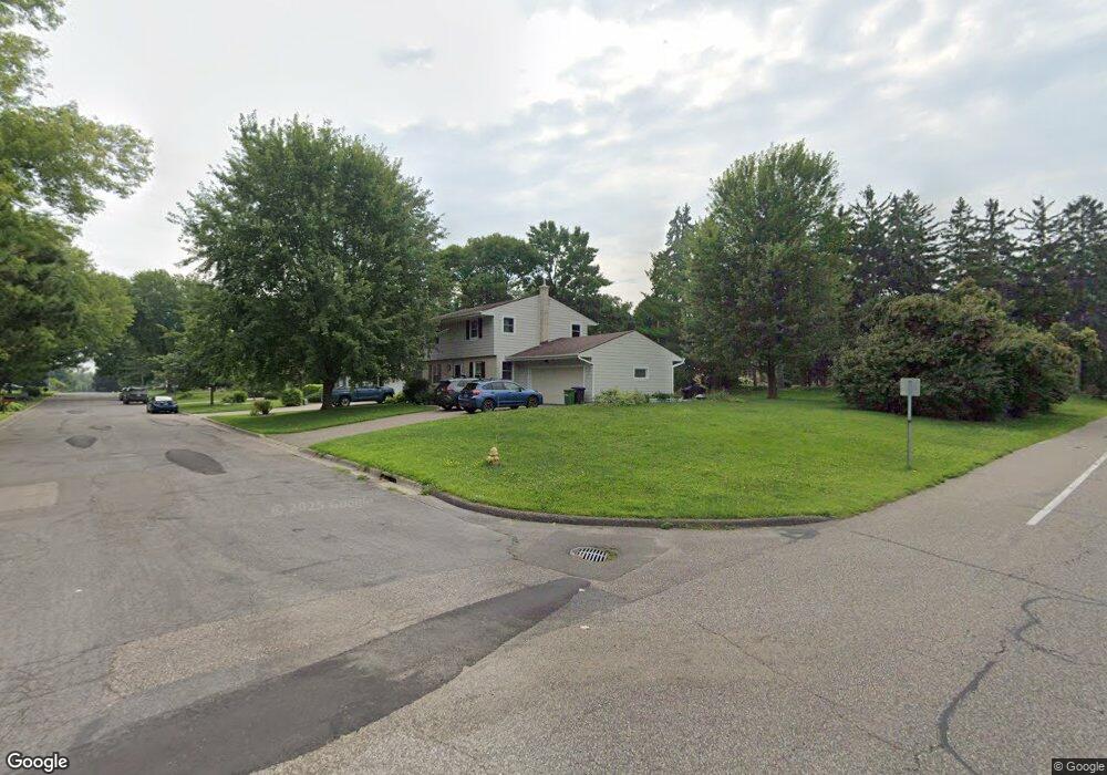
2523 Stanbridge Ave Saint Paul, MN 55113
Sandcastle NeighborhoodEstimated Value: $526,000 - $563,000
4
Beds
2
Baths
1,372
Sq Ft
$396/Sq Ft
Est. Value
About This Home
This home is located at 2523 Stanbridge Ave, Saint Paul, MN 55113 and is currently estimated at $543,326, approximately $396 per square foot. 2523 Stanbridge Ave is a home located in Ramsey County with nearby schools including Valentine Hills Elementary School, Highview Middle School, and Mounds View Senior High School.
Ownership History
Date
Name
Owned For
Owner Type
Purchase Details
Closed on
May 21, 2025
Sold by
Larson Wallace M and Larson Audrey L
Bought by
Markham Brice and Markham Melannie
Current Estimated Value
Home Financials for this Owner
Home Financials are based on the most recent Mortgage that was taken out on this home.
Original Mortgage
$385,000
Outstanding Balance
$383,684
Interest Rate
6.83%
Mortgage Type
New Conventional
Estimated Equity
$159,642
Create a Home Valuation Report for This Property
The Home Valuation Report is an in-depth analysis detailing your home's value as well as a comparison with similar homes in the area
Home Values in the Area
Average Home Value in this Area
Purchase History
| Date | Buyer | Sale Price | Title Company |
|---|---|---|---|
| Markham Brice | $550,000 | Gibraltar Title |
Source: Public Records
Mortgage History
| Date | Status | Borrower | Loan Amount |
|---|---|---|---|
| Open | Markham Brice | $385,000 |
Source: Public Records
Tax History Compared to Growth
Tax History
| Year | Tax Paid | Tax Assessment Tax Assessment Total Assessment is a certain percentage of the fair market value that is determined by local assessors to be the total taxable value of land and additions on the property. | Land | Improvement |
|---|---|---|---|---|
| 2025 | $1,776 | $501,400 | $110,000 | $391,400 |
| 2023 | $1,776 | $433,500 | $95,000 | $338,500 |
| 2022 | $970 | $411,600 | $95,000 | $316,600 |
| 2021 | $1,030 | $366,600 | $95,000 | $271,600 |
| 2020 | $802 | $372,700 | $85,000 | $287,700 |
| 2019 | $680 | $352,100 | $85,000 | $267,100 |
| 2018 | $102 | $346,800 | $75,300 | $271,500 |
| 2017 | $4,296 | $306,800 | $75,300 | $231,500 |
| 2016 | $4,516 | $0 | $0 | $0 |
| 2015 | $4,774 | $295,500 | $74,200 | $221,300 |
| 2014 | $3,058 | $0 | $0 | $0 |
Source: Public Records
Map
Nearby Homes
- 3511 Maplewood Dr
- 2446 County Road D W
- 2911 Troseth Rd
- 3232 Old Highway 8
- 3155 Old Highway 8 Unit E308B
- 3153 Old Highway 8 Unit 304A
- 3153 Old Highway 8 Unit B103A
- 3212 33rd Ave NE
- 544 Riviera Dr
- 3004 36th Ave NE
- 519 Continental Dr
- 3912 Foss Rd Unit 206
- 4074 Foss Rd
- 4004 Foss Rd Unit 101
- 3532 Belden Dr NE
- 4078 Foss Rd
- 2904 Old Highway 8
- 950 Cessna Dr
- 2164 Eustis St
- 3013 Silver Lake Rd NE
- 3035 Patton Rd
- 2508 Lydia Ave W
- 2522 Stanbridge Ave
- 2498 Lydia Ave W
- 3041 Patton Rd
- 3026 Patton Rd
- 2516 Lydia Ave W
- 3032 Patton Rd
- 2494 Lydia Ave W
- 2981 Patton Rd
- 2990 Patton Rd
- 3038 Patton Rd
- 3045 Patton Rd
- 2473 Stanbridge Ave
- 2520 Lydia Ave W
- 2488 Lydia Ave W
- 2982 Patton Rd
- 2975 Patton Rd
- 3044 Patton Rd
- 3051 Lydia Ct