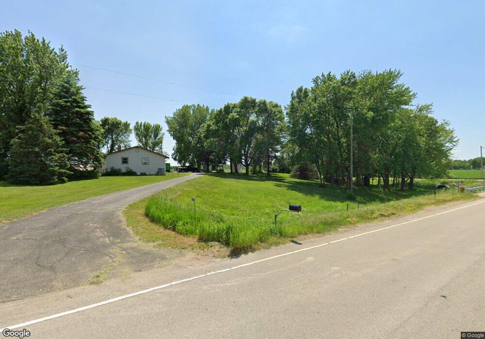
2525 90th St E Northfield, MN 55057
Estimated Value: $381,000 - $515,000
3
Beds
3
Baths
1,496
Sq Ft
$307/Sq Ft
Est. Value
About This Home
This home is located at 2525 90th St E, Northfield, MN 55057 and is currently estimated at $459,737, approximately $307 per square foot. 2525 90th St E is a home located in Rice County with nearby schools including Bridgewater Elementary School, Northfield Middle School, and Northfield Senior High School.
Ownership History
Date
Name
Owned For
Owner Type
Purchase Details
Closed on
Jan 15, 2016
Sold by
Smith Ellen and Skluzacek Mark
Bought by
Skluzacek Benjamin
Current Estimated Value
Home Financials for this Owner
Home Financials are based on the most recent Mortgage that was taken out on this home.
Original Mortgage
$206,196
Outstanding Balance
$163,777
Interest Rate
3.92%
Mortgage Type
FHA
Estimated Equity
$295,960
Create a Home Valuation Report for This Property
The Home Valuation Report is an in-depth analysis detailing your home's value as well as a comparison with similar homes in the area
Purchase History
| Date | Buyer | Sale Price | Title Company |
|---|---|---|---|
| Skluzacek Benjamin | $210,000 | None Available |
Source: Public Records
Mortgage History
| Date | Status | Borrower | Loan Amount |
|---|---|---|---|
| Open | Skluzacek Benjamin | $206,196 |
Source: Public Records
Tax History
| Year | Tax Paid | Tax Assessment Tax Assessment Total Assessment is a certain percentage of the fair market value that is determined by local assessors to be the total taxable value of land and additions on the property. | Land | Improvement |
|---|---|---|---|---|
| 2025 | $4,404 | $407,300 | $127,000 | $280,300 |
| 2024 | $4,404 | $380,600 | $112,500 | $268,100 |
| 2023 | $3,600 | $380,600 | $112,500 | $268,100 |
| 2022 | $3,302 | $341,100 | $93,000 | $248,100 |
| 2021 | $3,052 | $291,500 | $78,700 | $212,800 |
| 2020 | $2,984 | $258,400 | $76,200 | $182,200 |
| 2019 | $3,012 | $248,500 | $76,200 | $172,300 |
| 2018 | $2,688 | $243,200 | $76,200 | $167,000 |
| 2017 | $2,430 | $214,400 | $76,200 | $138,200 |
| 2016 | $2,166 | $215,100 | $76,200 | $138,900 |
Source: Public Records
Map
Nearby Homes
- 8625 Bagley Ave
- 7243 Hazelwood Ave
- 210 Mill St W
- 404 Archibald Ln
- 514 Miller Ln
- 607 Miller Ct
- XXXXX 330th St
- 31XX 121st
- 32XX 121st St E
- xxx Weaver Rd
- 2680 88th Ct W
- TBD Minnesota 3
- Outlot Honeylocust Dr
- 1128 Highland Ave
- 1421 Blue Flag Ct
- 2718 Brockman Ct Unit 714
- 651 Lincoln St N
- 2620 Oak Lawn Dr
- 1556 Independence Dr Unit 202
- 1574 Independence Dr Unit 701
- 2626 90th St E
- 2720 90th St E
- 2251 90th St E
- 2740 90th St E
- 2288 90th St E
- 8777 Baldwin Ave
- XXX Baldwin Ave
- 9400 Baldwin Ave
- 2800 90th St E
- 3003 90th St E
- 2191 90th St E
- 8400 Baldwin Ave
- 9240 Albers Ave
- 9700 Baldwin Ave
- 8300 Baldwin Ave
- 3303 90th St E
- 3250 90th St E
- 9760 Baldwin Ave
- 9855 Baldwin Ave
- 9132 Cates Ave
Your Personal Tour Guide
Ask me questions while you tour the home.