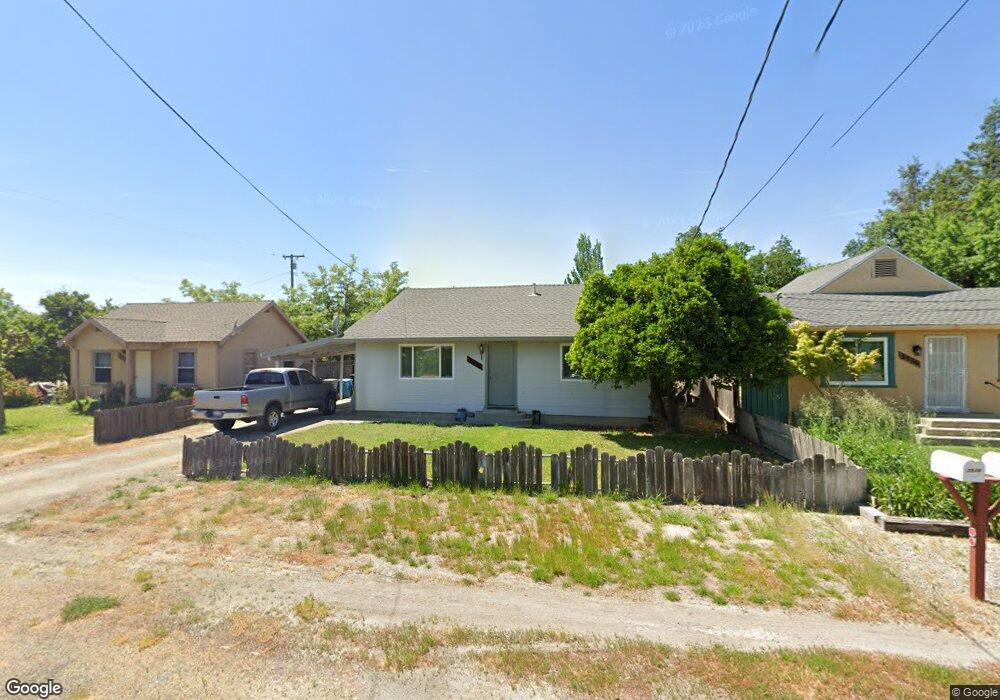
2526 Mulberry St Sutter, CA 95982
Estimated Value: $248,000 - $295,000
2
Beds
1
Bath
704
Sq Ft
$385/Sq Ft
Est. Value
About This Home
This home is located at 2526 Mulberry St, Sutter, CA 95982 and is currently estimated at $270,891, approximately $384 per square foot. 2526 Mulberry St is a home located in Sutter County with nearby schools including Brittan Elementary School, Sutter High School, and Christian Outreach Fellowship.
Ownership History
Date
Name
Owned For
Owner Type
Purchase Details
Closed on
Mar 28, 2024
Sold by
Key Ronald C and Key Nelda
Bought by
Key
Current Estimated Value
Purchase Details
Closed on
Sep 12, 2002
Sold by
Dilley Paul E and Dilley Marlene L
Bought by
Key Ronald C and Key Nelda
Home Financials for this Owner
Home Financials are based on the most recent Mortgage that was taken out on this home.
Original Mortgage
$75,000
Interest Rate
6.37%
Create a Home Valuation Report for This Property
The Home Valuation Report is an in-depth analysis detailing your home's value as well as a comparison with similar homes in the area
Home Values in the Area
Average Home Value in this Area
Purchase History
| Date | Buyer | Sale Price | Title Company |
|---|---|---|---|
| Key | -- | None Listed On Document | |
| Key Ronald C | $100,000 | North State Title Company |
Source: Public Records
Mortgage History
| Date | Status | Borrower | Loan Amount |
|---|---|---|---|
| Previous Owner | Key Ronald C | $75,000 |
Source: Public Records
Tax History
| Year | Tax Paid | Tax Assessment Tax Assessment Total Assessment is a certain percentage of the fair market value that is determined by local assessors to be the total taxable value of land and additions on the property. | Land | Improvement |
|---|---|---|---|---|
| 2025 | $1,543 | $144,807 | $46,331 | $98,476 |
| 2024 | $1,543 | $141,969 | $45,423 | $96,546 |
| 2023 | $1,543 | $139,186 | $44,533 | $94,653 |
| 2022 | $1,496 | $136,458 | $43,660 | $92,798 |
| 2021 | $1,483 | $133,805 | $42,818 | $90,987 |
| 2020 | $1,464 | $132,433 | $42,379 | $90,054 |
| 2019 | $1,663 | $129,836 | $41,548 | $88,288 |
| 2018 | $1,649 | $127,290 | $40,733 | $86,557 |
| 2017 | $1,404 | $108,900 | $45,400 | $63,500 |
| 2016 | $1,362 | $103,680 | $43,200 | $60,480 |
| 2015 | $1,175 | $86,000 | $30,000 | $56,000 |
| 2014 | $1,049 | $74,000 | $20,000 | $54,000 |
Source: Public Records
Map
Nearby Homes
- 2371 Elm St
- 2431 Madrone St
- 2637 Acacia Ave
- 7662 Washington St
- 7830 Griffith Ln
- 2185 Perry St
- 8098 Blue Oak Ct
- 8617 S Butte Rd
- 1244 Acacia Ave
- 5576 S Butte Rd
- 8454 Pass Rd
- 8970 S Butte Rd
- 2065 Howlett Ave
- 4423 Dresser Rd
- 3202 Roosevelt Rd
- 3330 John Fremont Way
- 3327 Sam Brannan Way
- 2871 Pease Rd
- 0 Colusa Frontage Rd
- 2861 VI Ct
- 2510 Mulberry St
- 2536 Mulberry St
- 2558 Mulberry St
- 2511 Pepper St
- 2535 Pepper St
- 2561 Pepper St
- 2576 Mulberry St
- 7073 Sutter Ave
- 2494 Mulberry St
- 2547 Mulberry St
- 2489 Pepper St
- 2565 Mulberry St
- 2598 Mulberry St
- 2495 Mulberry St
- 2589 Mulberry St
- 2538 Pepper St
- 2554 Pepper St
- 2466 Mulberry St
- 2518 Locust St
- 2617 Pepper St
