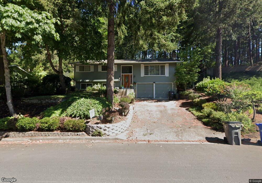
253 Brae Burn Dr Eugene, OR 97405
Crest Drive NeighborhoodEstimated Value: $520,416 - $623,000
3
Beds
2
Baths
1,196
Sq Ft
$481/Sq Ft
Est. Value
About This Home
This home is located at 253 Brae Burn Dr, Eugene, OR 97405 and is currently estimated at $575,354, approximately $481 per square foot. 253 Brae Burn Dr is a home located in Lane County with nearby schools including Edgewood Community Elementary School, Spencer Butte Middle School, and South Eugene High School.
Ownership History
Date
Name
Owned For
Owner Type
Purchase Details
Closed on
Aug 26, 2014
Sold by
Vanderhoff Wayne Eugene and Jean Vanderhoff T
Bought by
Vanderhoff Wayne E and Jean Vanderhoff T
Current Estimated Value
Home Financials for this Owner
Home Financials are based on the most recent Mortgage that was taken out on this home.
Original Mortgage
$277,877
Interest Rate
4.12%
Mortgage Type
VA
Create a Home Valuation Report for This Property
The Home Valuation Report is an in-depth analysis detailing your home's value as well as a comparison with similar homes in the area
Home Values in the Area
Average Home Value in this Area
Purchase History
| Date | Buyer | Sale Price | Title Company |
|---|---|---|---|
| Vanderhoff Wayne E | -- | Western Title & Escrow Co |
Source: Public Records
Mortgage History
| Date | Status | Borrower | Loan Amount |
|---|---|---|---|
| Closed | Vanderhoff Wayne E | $277,877 |
Source: Public Records
Tax History
| Year | Tax Paid | Tax Assessment Tax Assessment Total Assessment is a certain percentage of the fair market value that is determined by local assessors to be the total taxable value of land and additions on the property. | Land | Improvement |
|---|---|---|---|---|
| 2025 | $5,130 | $263,318 | -- | -- |
| 2024 | $5,067 | $255,649 | -- | -- |
| 2023 | $5,067 | $248,203 | -- | -- |
| 2022 | $4,747 | $240,974 | $0 | $0 |
| 2021 | $4,458 | $233,956 | $0 | $0 |
| 2020 | $4,474 | $227,142 | $0 | $0 |
| 2019 | $4,321 | $220,527 | $0 | $0 |
| 2018 | $4,067 | $207,868 | $0 | $0 |
| 2017 | $3,885 | $207,868 | $0 | $0 |
| 2016 | $3,789 | $201,814 | $0 | $0 |
| 2015 | $3,680 | $195,936 | $0 | $0 |
| 2014 | $3,606 | $190,229 | $0 | $0 |
Source: Public Records
Map
Nearby Homes
- 21 Westbrook Way
- 17 Westbrook Way
- 278 Rockridge Ct
- 36 Westbrook Way
- 0 Pine View Ct Unit 758820410
- 126 Treehill Loop Unit 126
- 143 Treehill Loop Unit 143
- 152 Treehill Loop Unit 152
- 151 Treehill Loop Unit 151
- 784 Brookside Dr
- 422 Stonewood Dr Unit 422
- 418 Stonewood Dr Unit 418
- 653 Brookside Dr
- 170 E 40th Ave
- 223 Trailside Loop Unit 223
- 320 Dellwood Dr
- 4734 Brookwood St
- 806 Sundance St
- 3854 Monroe St
- 4023 Donald St Unit K
- 273 Brae Burn Dr
- 203 Brae Burn Dr
- 240 Brae Burn Dr
- 280 Brae Burn Dr
- 293 Brae Burn Dr
- 220 Brae Burn Dr
- 235 Brookside Dr
- 197 Brae Burn Dr
- 305 Brae Burn Dr
- 310 Brae Burn Dr
- 275 Brookside Dr
- 189 Brae Burn Dr
- 265 Brookside Dr
- 198 Brae Burn Dr
- 325 Brae Burn Dr
- 190 Brae Burn Dr
- 285 Brookside Dr
- 186 Brookside Dr
- 330 Brae Burn Dr
- 170 Brookside Dr
Your Personal Tour Guide
Ask me questions while you tour the home.