253 Connie Ln Merlin, OR 97532
Merlin NeighborhoodEstimated Value: $795,367 - $902,000
3
Beds
3
Baths
2,969
Sq Ft
$286/Sq Ft
Est. Value
About This Home
This home is located at 253 Connie Ln, Merlin, OR 97532 and is currently estimated at $848,684, approximately $285 per square foot. 253 Connie Ln is a home located in Josephine County with nearby schools including Manzanita Elementary School, Fleming Middle School, and North Valley High School.
Ownership History
Date
Name
Owned For
Owner Type
Purchase Details
Closed on
Feb 7, 2006
Sold by
Barker Pearl M
Bought by
Dempsey Frederick B and Dempsey Desiree T
Current Estimated Value
Purchase Details
Closed on
Dec 8, 2005
Sold by
Butts S Kathryn
Bought by
Dempsey Frederick B and Dempsey Desiree T
Home Financials for this Owner
Home Financials are based on the most recent Mortgage that was taken out on this home.
Original Mortgage
$320,000
Interest Rate
6.14%
Mortgage Type
Fannie Mae Freddie Mac
Create a Home Valuation Report for This Property
The Home Valuation Report is an in-depth analysis detailing your home's value as well as a comparison with similar homes in the area
Home Values in the Area
Average Home Value in this Area
Purchase History
| Date | Buyer | Sale Price | Title Company |
|---|---|---|---|
| Dempsey Frederick B | -- | None Available | |
| Dempsey Frederick B | $620,000 | First American |
Source: Public Records
Mortgage History
| Date | Status | Borrower | Loan Amount |
|---|---|---|---|
| Previous Owner | Dempsey Frederick B | $320,000 |
Source: Public Records
Tax History Compared to Growth
Tax History
| Year | Tax Paid | Tax Assessment Tax Assessment Total Assessment is a certain percentage of the fair market value that is determined by local assessors to be the total taxable value of land and additions on the property. | Land | Improvement |
|---|---|---|---|---|
| 2025 | $3,488 | $485,860 | -- | -- |
| 2024 | $3,488 | $471,710 | -- | -- |
| 2023 | $2,935 | $457,980 | $0 | $0 |
| 2022 | $2,875 | $444,650 | -- | -- |
| 2021 | $2,694 | $431,700 | $0 | $0 |
| 2020 | $2,810 | $419,130 | $0 | $0 |
| 2019 | $2,697 | $406,930 | $0 | $0 |
| 2018 | $2,735 | $395,080 | $0 | $0 |
| 2017 | $2,734 | $383,580 | $0 | $0 |
| 2016 | $2,314 | $372,410 | $0 | $0 |
| 2015 | $2,233 | $361,570 | $0 | $0 |
| 2014 | $2,176 | $351,040 | $0 | $0 |
Source: Public Records
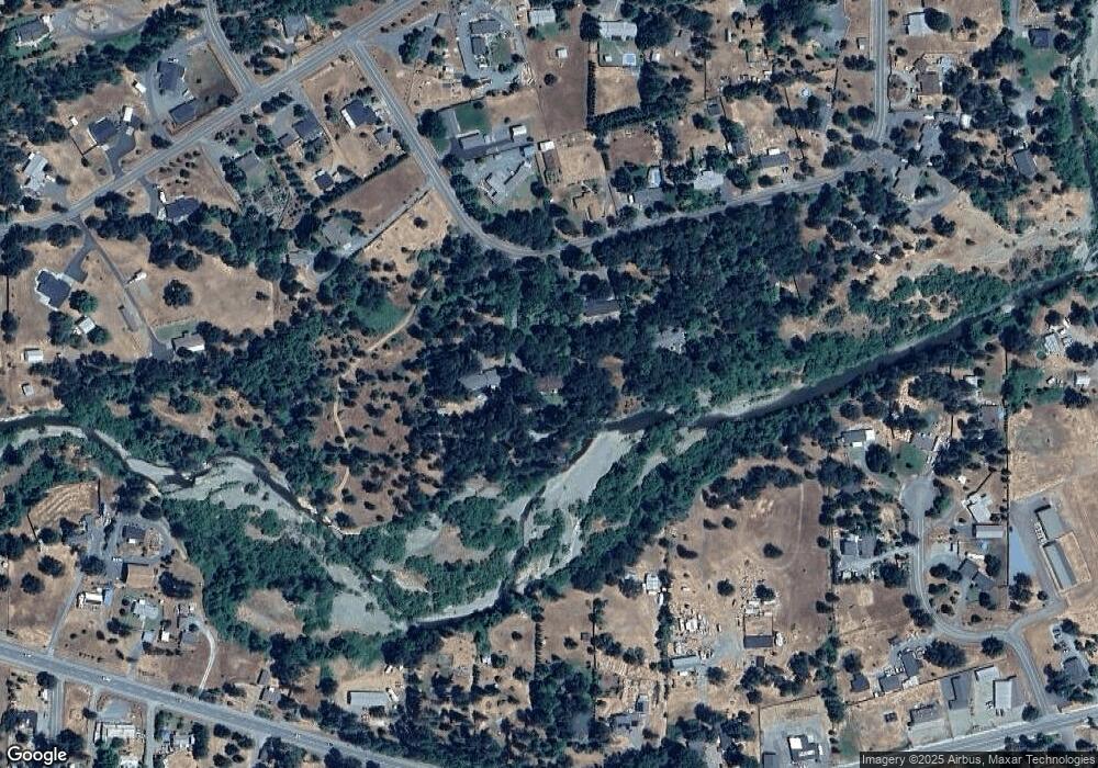
Map
Nearby Homes
- 370 Becklin Dr
- 171 Almond St
- 298 Tavis Dr
- 185 Peach St
- 231 Acorn St
- 221 Acorn St
- 335 Tavis Dr
- 0 Acorn St Unit Lot 1
- 0 Acorn St Unit Lot 3
- 0 Acorn St Unit Lot2
- 387 Tavis Dr
- 130 Acorn St
- 965 Galice Rd Unit 11
- 165 Sunbeam Cir
- 539 Highland Ranch Rd
- 0 Merln Sanitarium Rd Unit Lot 24
- 0 Merln Sanitarium Rd Unit Lot 13
- 1266 Ellison Loop
- 559 Pleasantville Way
- 1222 Ellison Loop