Estimated Value: $343,164
--
Bed
3
Baths
3,840
Sq Ft
$89/Sq Ft
Est. Value
About This Home
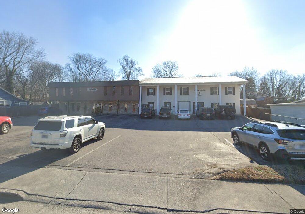
This home is located at 253 Lindsay St, Alcoa, TN 37701 and is currently priced at $343,164, approximately $89 per square foot. 253 Lindsay St is a home located in Blount County with nearby schools including Alcoa Elementary School, Alcoa Middle School, and Alcoa High School.
Ownership History
Date
Name
Owned For
Owner Type
Purchase Details
Closed on
Mar 1, 2018
Sold by
Fife Donald J
Bought by
Fleming Carl F
Current Estimated Value
Purchase Details
Closed on
Nov 14, 2003
Bought by
Fife Donald J and Fife Kimberly
Purchase Details
Closed on
Feb 18, 2003
Sold by
Lowe Gwendolyn Faye
Bought by
Hepperly Steven and Hepperly Tina
Purchase Details
Closed on
Jan 20, 1988
Bought by
Lowe Gwendolyn Faye Millsaps
Purchase Details
Closed on
May 27, 1976
Bought by
Lynn Ancel M and Lynn Donnie
Create a Home Valuation Report for This Property
The Home Valuation Report is an in-depth analysis detailing your home's value as well as a comparison with similar homes in the area
Home Values in the Area
Average Home Value in this Area
Purchase History
| Date | Buyer | Sale Price | Title Company |
|---|---|---|---|
| Fleming Carl F | $205,000 | -- | |
| Fife Donald J | $179,000 | -- | |
| Hepperly Steven | $113,500 | -- | |
| Lowe Gwendolyn Faye Millsaps | $159,900 | -- | |
| Lynn Ancel M | -- | -- |
Source: Public Records
Tax History Compared to Growth
Tax History
| Year | Tax Paid | Tax Assessment Tax Assessment Total Assessment is a certain percentage of the fair market value that is determined by local assessors to be the total taxable value of land and additions on the property. | Land | Improvement |
|---|---|---|---|---|
| 2025 | -- | $120,760 | $0 | $0 |
| 2024 | $3,961 | $120,760 | $14,000 | $106,760 |
| 2023 | $3,961 | $120,760 | $14,000 | $106,760 |
| 2022 | $4,602 | $97,080 | $12,000 | $85,080 |
| 2021 | $4,602 | $97,080 | $12,000 | $85,080 |
| 2020 | $4,602 | $97,080 | $12,000 | $85,080 |
| 2019 | $4,602 | $97,080 | $12,000 | $85,080 |
| 2018 | $4,139 | $93,440 | $7,560 | $85,880 |
| 2017 | $4,139 | $93,440 | $7,560 | $85,880 |
| 2016 | $4,139 | $93,440 | $7,560 | $85,880 |
| 2015 | $3,840 | $93,440 | $7,560 | $85,880 |
| 2014 | $3,064 | $93,440 | $7,560 | $85,880 |
| 2013 | $3,064 | $74,560 | $0 | $0 |
Source: Public Records
Map
Nearby Homes
- 239 Lindsay St
- 255 Sanderson St
- 252 Glascock St
- 250 S Rankin Rd
- 304 W Lincoln Rd
- 0 Hannum St
- 233 Olympia Dr
- 124 Olympia Dr
- 111 Regal Tower
- 106 Regal Tower
- 110 Regal Tower
- 607 Regal Tower
- 218 Burns St
- 135 E Harper Ave
- 161 E Harper Ave
- 125 E Harper Ave
- 450 E Church Ave
- 410 E Church Ave
- 404 E Church Ave
- 408 E Church Ave
- 257 Lindsay St
- 245 Lindsay St
- 261 Lindsay St
- 248 Sanderson St
- 264 Lindsay St
- 269 Lindsay St
- 231 Lindsay St
- 254 Sanderson St
- 242 Sanderson St
- 260 Sanderson St
- 252 Lindsay St
- 236 Sanderson St
- 258 Lindsay St
- 246 Lindsay St
- 275 Lindsay St
- 225 Lindsay St
- 240 Lindsay St
- 230 Sanderson St
- 270 Lindsay St
- 232 Lindsay St