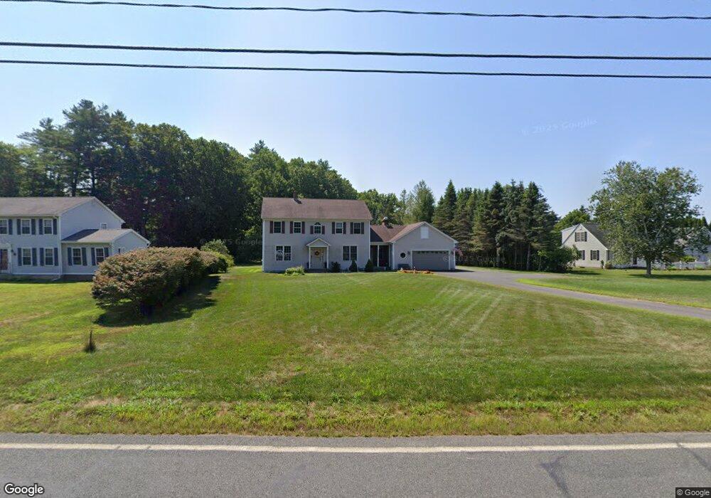
253 Plumtree Rd Sunderland, MA 01375
Estimated Value: $592,000 - $728,000
4
Beds
2
Baths
2,850
Sq Ft
$226/Sq Ft
Est. Value
About This Home
This home is located at 253 Plumtree Rd, Sunderland, MA 01375 and is currently estimated at $644,532, approximately $226 per square foot. 253 Plumtree Rd is a home located in Franklin County with nearby schools including Sunderland Elementary School and Frontier Regional School.
Ownership History
Date
Name
Owned For
Owner Type
Purchase Details
Closed on
Jul 16, 2004
Sold by
Blajda Leonard E
Bought by
Blajda Leonard E and Blajda Michele K
Current Estimated Value
Home Financials for this Owner
Home Financials are based on the most recent Mortgage that was taken out on this home.
Original Mortgage
$85,000
Outstanding Balance
$42,548
Interest Rate
6.25%
Mortgage Type
Purchase Money Mortgage
Estimated Equity
$601,984
Create a Home Valuation Report for This Property
The Home Valuation Report is an in-depth analysis detailing your home's value as well as a comparison with similar homes in the area
Home Values in the Area
Average Home Value in this Area
Purchase History
| Date | Buyer | Sale Price | Title Company |
|---|---|---|---|
| Blajda Leonard E | -- | -- |
Source: Public Records
Mortgage History
| Date | Status | Borrower | Loan Amount |
|---|---|---|---|
| Open | Blajda Leonard E | $85,000 |
Source: Public Records
Tax History
| Year | Tax Paid | Tax Assessment Tax Assessment Total Assessment is a certain percentage of the fair market value that is determined by local assessors to be the total taxable value of land and additions on the property. | Land | Improvement |
|---|---|---|---|---|
| 2025 | $71 | $548,600 | $124,800 | $423,800 |
| 2024 | $7,209 | $548,600 | $124,800 | $423,800 |
| 2023 | $6,619 | $517,100 | $113,400 | $403,700 |
| 2022 | $6,683 | $454,600 | $97,200 | $357,400 |
| 2021 | $6,448 | $416,300 | $90,100 | $326,200 |
| 2020 | $18 | $415,900 | $90,100 | $325,800 |
| 2019 | $0 | $405,200 | $87,500 | $317,700 |
| 2018 | $5,840 | $389,300 | $84,000 | $305,300 |
| 2017 | $18 | $385,600 | $84,000 | $301,600 |
| 2016 | $5,648 | $385,300 | $82,300 | $303,000 |
| 2015 | $5,514 | $385,300 | $82,300 | $303,000 |
| 2014 | $5,386 | $385,300 | $82,300 | $303,000 |
Source: Public Records
Map
Nearby Homes
- 13 Shattuck Rd
- 34 Comins Rd
- 45 Comins Rd
- 274 Sunderland Rd
- 10 Depot Rd
- 180 Summer St
- 208 Pine St Unit 53
- 79 State Rd
- 200 Long Plain Rd
- 113 Juggler Meadow Rd
- 281 Leverett Rd
- 43 Morgan Cir
- 277 River Dr
- 33 Bridge St
- 185 Cherry Ln
- 36 Swamp Rd
- Lot A Kingman Rd
- 0 Straits Rd
- 0 North St Unit 73407299
- 136 Main St
- 247 Plumtree Rd
- 259 Plumtree Rd
- 254 Plumtree Rd
- 256 Plumtree Rd
- 262 Plumtree Rd
- 246 Plumtree Rd
- 237 Plumtree Rd
- 242 Plumtree Rd
- 241 Plumtree Rd
- 258 Plumtree Rd
- 236 Plumtree Rd
- 231 Plumtree Rd
- 230 Plumtree Rd
- 250 Plumtree Rd
- 358 S Silver Ln
- 223 Plumtree Rd
- 224 Plumtree Rd
- 226 Plumtree Rd
- 354 S Silver Ln
- 219 Plumtree Rd
Your Personal Tour Guide
Ask me questions while you tour the home.