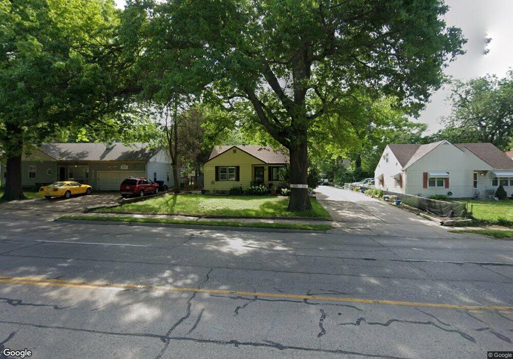
2531 SW Topeka Blvd Topeka, KS 66611
Central Topeka NeighborhoodEstimated Value: $125,000 - $154,000
2
Beds
1
Bath
1,327
Sq Ft
$108/Sq Ft
Est. Value
About This Home
This home is located at 2531 SW Topeka Blvd, Topeka, KS 66611 and is currently estimated at $142,911, approximately $107 per square foot. 2531 SW Topeka Blvd is a home located in Shawnee County with nearby schools including Rougon Elementary School, Martin Park Elementary School, and D.F. Huddle Elementary School.
Ownership History
Date
Name
Owned For
Owner Type
Purchase Details
Closed on
Jan 15, 2025
Sold by
Crook Jamie Nicole and Cook Jamie
Bought by
Curtis Wayne Blevins And Jamie Nicole Crook R and Blevins
Current Estimated Value
Purchase Details
Closed on
Apr 14, 2011
Sold by
Matalone John J
Bought by
Crook Jamie
Home Financials for this Owner
Home Financials are based on the most recent Mortgage that was taken out on this home.
Original Mortgage
$77,972
Interest Rate
5.5%
Mortgage Type
FHA
Create a Home Valuation Report for This Property
The Home Valuation Report is an in-depth analysis detailing your home's value as well as a comparison with similar homes in the area
Home Values in the Area
Average Home Value in this Area
Purchase History
| Date | Buyer | Sale Price | Title Company |
|---|---|---|---|
| Curtis Wayne Blevins And Jamie Nicole Crook R | -- | None Listed On Document | |
| Crook Jamie | -- | Capital Title Insurance Comp |
Source: Public Records
Mortgage History
| Date | Status | Borrower | Loan Amount |
|---|---|---|---|
| Previous Owner | Crook Jamie | $77,972 |
Source: Public Records
Tax History Compared to Growth
Tax History
| Year | Tax Paid | Tax Assessment Tax Assessment Total Assessment is a certain percentage of the fair market value that is determined by local assessors to be the total taxable value of land and additions on the property. | Land | Improvement |
|---|---|---|---|---|
| 2025 | $2,053 | $15,394 | -- | -- |
| 2023 | $2,053 | $13,968 | $0 | $0 |
| 2022 | $1,786 | $12,146 | $0 | $0 |
| 2021 | $1,645 | $10,562 | $0 | $0 |
| 2020 | $1,547 | $10,059 | $0 | $0 |
| 2019 | $1,524 | $9,861 | $0 | $0 |
| 2018 | $1,480 | $9,574 | $0 | $0 |
| 2017 | $1,454 | $9,386 | $0 | $0 |
| 2014 | $1,577 | $10,058 | $0 | $0 |
Source: Public Records
Map
Nearby Homes
- 311 SW Country Club Dr
- 317 SW Hillside Dr
- 2129 SW Buchanan St
- 205 SE 25th St
- 2058 SW Buchanan St
- 2412 SE Quincy Ct
- 1912 SW Buchanan St
- 1608 SW 26th St
- 1907 SW Buchanan St
- 1615 SW 27th St
- 1647 SW 21st St
- 2824 SW Burlingame Rd
- 1556 SW 23rd St
- 2720 SW College Ave
- 1637 SW Fillmore St
- 918 SW 17th St
- 1700 SW Buchanan St
- 1407 SW 29th St
- 2310 SE Massachusetts Ave
- 1532 SW Western Ave
- 2535 SW Topeka Blvd
- 2521 SW Topeka Blvd
- 500 SW Merriam Ct Unit 600 sw Van Buren
- 500 SW Merriam Ct
- 2520 SW Granthurst Ave
- 2508 SW Granthurst Ave
- 510 SW Merriam Ct
- 2517 SW Topeka Blvd
- 2504 SW Granthurst Ave
- 2526 SW Granthurst Ave
- 2500 SW Granthurst Ave
- 2416 SW Granthurst Ave
- 2532 SW Granthurst Ave
- 503 SW Merriam Ct
- 2501 SW Granthurst Ave
- 2540 SW Topeka Blvd
- 2511 SW Beverly Ct
- 2509 SW Beverly Ct
- 2521 SW Granthurst Ave
- 515 SW Merriam Ct