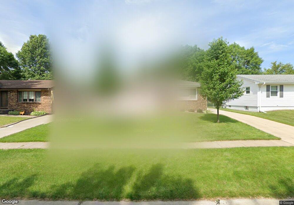
2532 Lori Dr SW Cedar Rapids, IA 52404
Estimated Value: $195,935 - $228,000
3
Beds
1
Bath
1,136
Sq Ft
$189/Sq Ft
Est. Value
About This Home
This home is located at 2532 Lori Dr SW, Cedar Rapids, IA 52404 and is currently estimated at $214,734, approximately $189 per square foot. 2532 Lori Dr SW is a home located in Linn County with nearby schools including Junction City Elementary School, Perryville Elementary School, and Van Buren Elementary School.
Ownership History
Date
Name
Owned For
Owner Type
Purchase Details
Closed on
Dec 28, 2001
Sold by
Neff Allen and Neff Allen R
Bought by
Strait Mearl and Strait Evelyn F
Current Estimated Value
Home Financials for this Owner
Home Financials are based on the most recent Mortgage that was taken out on this home.
Original Mortgage
$64,663
Interest Rate
6.92%
Create a Home Valuation Report for This Property
The Home Valuation Report is an in-depth analysis detailing your home's value as well as a comparison with similar homes in the area
Home Values in the Area
Average Home Value in this Area
Purchase History
| Date | Buyer | Sale Price | Title Company |
|---|---|---|---|
| Strait Mearl | $50,500 | -- |
Source: Public Records
Mortgage History
| Date | Status | Borrower | Loan Amount |
|---|---|---|---|
| Previous Owner | Strait Mearl | $64,663 |
Source: Public Records
Tax History Compared to Growth
Tax History
| Year | Tax Paid | Tax Assessment Tax Assessment Total Assessment is a certain percentage of the fair market value that is determined by local assessors to be the total taxable value of land and additions on the property. | Land | Improvement |
|---|---|---|---|---|
| 2025 | $2,996 | $207,400 | $40,000 | $167,400 |
| 2024 | $3,212 | $198,300 | $33,900 | $164,400 |
| 2023 | $3,212 | $186,800 | $32,300 | $154,500 |
| 2022 | $2,980 | $161,200 | $32,300 | $128,900 |
| 2021 | $3,076 | $152,800 | $29,300 | $123,500 |
| 2020 | $3,076 | $148,000 | $24,600 | $123,400 |
| 2019 | $2,754 | $136,300 | $24,600 | $111,700 |
| 2018 | $2,674 | $136,300 | $24,600 | $111,700 |
| 2017 | $2,676 | $131,400 | $24,600 | $106,800 |
| 2016 | $2,691 | $126,600 | $24,600 | $102,000 |
| 2015 | $2,783 | $130,771 | $24,644 | $106,127 |
| 2014 | $2,598 | $130,771 | $24,644 | $106,127 |
| 2013 | $2,538 | $130,771 | $24,644 | $106,127 |
Source: Public Records
Map
Nearby Homes
- 2126 Snapdragon Cir SW
- 2020 25th St SW
- 2812 29th Ave SW
- 3000 Wilson Ave SW Unit A11
- 3000 Wilson Ave SW
- 2404 25th St SW
- 2105 Milligan Ct SW
- 3009 Carriage Dr SW
- 3108 Huxley Ln SW
- 2521 Radcliffe Ct SW
- 2207 Shady Grove Rd SW
- 2825 18th St SW
- 3140 Wilson Ave SW Unit 6
- 3212 Wilson Ave SW
- 3302 Sokol Ln SW
- 2150 Rockford Rd SW
- 3150 Wilson Ave SW Unit H10
- 3150 Wilson Ave SW Unit 7
- 3221 Bramble Rd SW
- 2025 18th St SW
- 2524 Lori Dr SW
- 2540 Lori Dr SW
- 2516 Lori Dr SW
- 2548 Lori Dr SW
- 2508 Lori Dr SW
- 2533 Lori Dr SW
- 2541 Lori Dr SW
- 2525 Lori Dr SW
- 2517 Lori Dr SW
- 2549 Lori Dr SW
- 2500 Lori Dr SW
- 2509 Lori Dr SW
- 2501 Lori Dr SW
- 2440 Lori Dr SW
- 2441 Lori Dr SW
- 2432 Lori Dr SW
- 2433 Lori Dr SW
- 2424 Lori Dr SW
- 2425 Lori Dr SW
- 2405 25th St SW