2532 Mcafee Rd Morrison, TN 37357
Estimated Value: $462,000 - $562,139
Studio
2
Baths
1,594
Sq Ft
$316/Sq Ft
Est. Value
About This Home
This home is located at 2532 Mcafee Rd, Morrison, TN 37357 and is currently estimated at $504,046, approximately $316 per square foot. 2532 Mcafee Rd is a home located in Coffee County with nearby schools including Deerfield Elementary School, Coffee County Middle School, and Coffee County Central High School.
Ownership History
Date
Name
Owned For
Owner Type
Purchase Details
Closed on
Dec 19, 2006
Sold by
Phillips Nathanial Wayne
Bought by
Kell Kelly
Current Estimated Value
Purchase Details
Closed on
Dec 7, 2005
Sold by
Bruce Phyllis M
Bought by
Melton Keith D
Purchase Details
Closed on
Jan 15, 1998
Sold by
Bruce Phyllis Etvir
Bought by
Bruce Elbert H and Bruce Phyllis
Purchase Details
Closed on
Jul 5, 1995
Bought by
Bruce Phyllis and Bruce Elbert
Create a Home Valuation Report for This Property
The Home Valuation Report is an in-depth analysis detailing your home's value as well as a comparison with similar homes in the area
Purchase History
| Date | Buyer | Sale Price | Title Company |
|---|---|---|---|
| Kell Kelly | -- | -- | |
| Melton Keith D | $100,000 | -- | |
| Bruce Elbert H | $7,500 | -- | |
| Bruce Phyllis | -- | -- |
Source: Public Records
Tax History
| Year | Tax Paid | Tax Assessment Tax Assessment Total Assessment is a certain percentage of the fair market value that is determined by local assessors to be the total taxable value of land and additions on the property. | Land | Improvement |
|---|---|---|---|---|
| 2025 | $2,218 | $95,150 | $32,600 | $62,550 |
| 2024 | $2,218 | $95,150 | $32,600 | $62,550 |
| 2023 | $2,218 | $95,150 | $0 | $0 |
| 2022 | $2,218 | $95,150 | $32,600 | $62,550 |
| 2021 | $2,189 | $74,650 | $25,775 | $48,875 |
| 2020 | $2,189 | $74,650 | $25,775 | $48,875 |
| 2019 | $2,189 | $74,650 | $25,775 | $48,875 |
| 2018 | $2,189 | $74,650 | $25,775 | $48,875 |
| 2017 | $2,278 | $69,800 | $24,900 | $44,900 |
| 2016 | $2,278 | $69,800 | $24,900 | $44,900 |
| 2015 | $2,278 | $69,800 | $24,900 | $44,900 |
| 2014 | $2,277 | $69,790 | $0 | $0 |
Source: Public Records
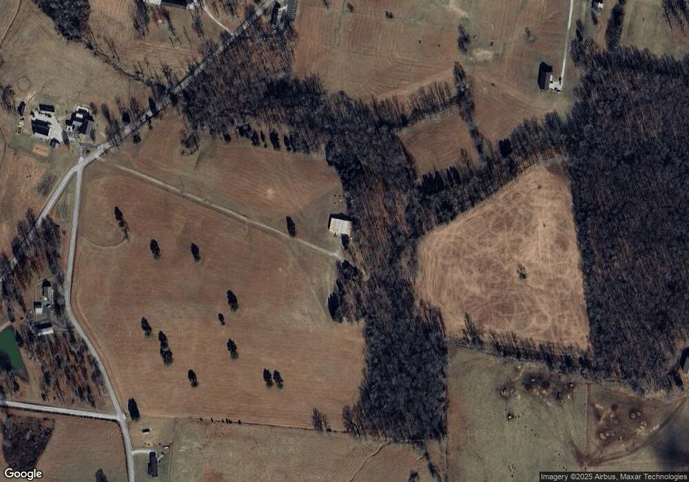
Map
Nearby Homes
- 967 Mud Creek Rd
- 0 Goforth Rd Unit 9
- 631 W Maple St
- 110 Saddle St
- 511 N Main St
- 101 S Mill St
- 0 Oak St
- 320 W King St
- 120 Boyd St
- 0 Jacksboro Trail Unit 7
- 0 Jacksboro Trail Unit 10
- 0 Jacksboro Trail Unit 11
- 0 Jacksboro Trail Unit 8
- 0 Jacksboro Trail Unit 9
- 431 S Fair St
- 7817 Shelbyville Rd
- 233 Taylor Lake Rd
- 667 Pete Sain Rd
- 8557 Manchester Hwy
- 153 Lewis Rd
- 2532 Mcafee Rd
- 2563 Mcafee Rd
- 80 Casey Rd
- 2657 Mcafee Rd
- 5098 Shady Grove Rd
- 5077 Shady Grove Rd
- 2261 Mcafee Rd
- 362 Casey Rd
- 2192 Mcafee Rd
- 2120 Mcafee Rd
- 5386 Shady Grove Rd
- 4779 Shady Grove Rd
- 38 Rigsby Rd
- 0 Deberry Rd (Lot 6) Unit 2103929
- 4651 Shady Grove Rd
- 2391 Mud Creek Rd
- 227 Rigsby Rd
- 5582 Shady Grove Rd
- 658 Deberry Rd
- 5602 Shady Grove Rd
Your Personal Tour Guide
Ask me questions while you tour the home.