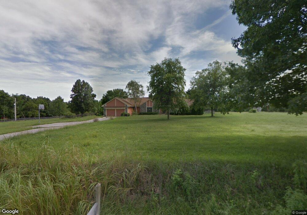
25345 W 71st St Shawnee, KS 66227
Estimated Value: $619,000 - $774,000
3
Beds
2
Baths
2,613
Sq Ft
$276/Sq Ft
Est. Value
About This Home
This home is located at 25345 W 71st St, Shawnee, KS 66227 and is currently estimated at $720,259, approximately $275 per square foot. 25345 W 71st St is a home located in Johnson County with nearby schools including Mize Elementary School, Mill Creek Middle School, and De Soto High School.
Ownership History
Date
Name
Owned For
Owner Type
Purchase Details
Closed on
Jul 24, 2017
Sold by
Dac Ventures Llc
Bought by
Cosgrove Michael J and Cosgrove Diana L
Current Estimated Value
Home Financials for this Owner
Home Financials are based on the most recent Mortgage that was taken out on this home.
Original Mortgage
$380,000
Interest Rate
3.97%
Mortgage Type
Future Advance Clause Open End Mortgage
Purchase Details
Closed on
May 31, 2017
Sold by
Nicholson Yvonne F
Bought by
Dac Ventures Llc
Home Financials for this Owner
Home Financials are based on the most recent Mortgage that was taken out on this home.
Original Mortgage
$380,000
Interest Rate
3.97%
Mortgage Type
Future Advance Clause Open End Mortgage
Purchase Details
Closed on
Nov 14, 2012
Sold by
Nicholson Yvonne F
Bought by
Nicholson Yvonne F and Ozley Joann
Create a Home Valuation Report for This Property
The Home Valuation Report is an in-depth analysis detailing your home's value as well as a comparison with similar homes in the area
Home Values in the Area
Average Home Value in this Area
Purchase History
| Date | Buyer | Sale Price | Title Company |
|---|---|---|---|
| Cosgrove Michael J | -- | First American Title | |
| Dac Ventures Llc | -- | None Available | |
| Nicholson Yvonne F | -- | None Available |
Source: Public Records
Mortgage History
| Date | Status | Borrower | Loan Amount |
|---|---|---|---|
| Previous Owner | Dac Ventures Llc | $380,000 |
Source: Public Records
Tax History Compared to Growth
Tax History
| Year | Tax Paid | Tax Assessment Tax Assessment Total Assessment is a certain percentage of the fair market value that is determined by local assessors to be the total taxable value of land and additions on the property. | Land | Improvement |
|---|---|---|---|---|
| 2024 | $8,561 | $73,181 | $27,414 | $45,767 |
| 2023 | $8,038 | $68,265 | $23,377 | $44,888 |
| 2022 | $7,329 | $61,675 | $19,488 | $42,187 |
| 2021 | $7,209 | $57,841 | $19,344 | $38,497 |
| 2020 | $5,842 | $46,414 | $18,500 | $27,914 |
| 2019 | $5,398 | $42,251 | $18,500 | $23,751 |
| 2018 | $5,337 | $41,400 | $18,500 | $22,900 |
| 2017 | $5,688 | $43,067 | $18,500 | $24,567 |
| 2016 | $5,625 | $42,067 | $18,500 | $23,567 |
| 2015 | $5,582 | $40,940 | $18,500 | $22,440 |
| 2013 | -- | $38,214 | $18,500 | $19,714 |
Source: Public Records
Map
Nearby Homes
- 25601 W 69th Terrace
- 7005 Mize Rd
- 26775 W 73rd St
- 0 Mize Rd Unit HMS2466053
- 24211 W 69th St
- 24203 W 69th St
- 7330 Cedar Niles Rd
- 7005 Barth Rd
- Lakewood Villa Plan at Mize Hill
- Newberry Plan at Mize Hill
- 6626 Mccormick Dr
- Ashwood Plan at Greens of Chapel Creek
- Durham Plan at Greens of Chapel Creek
- Kingston Plan at Greens of Chapel Creek
- Irving Plan at Greens of Chapel Creek
- Sonoma Plan at Greens of Chapel Creek
- Aspen II Plan at Greens of Chapel Creek
- 7822 Houston St
- 6480 Barth Rd
- 6479 Barth Rd