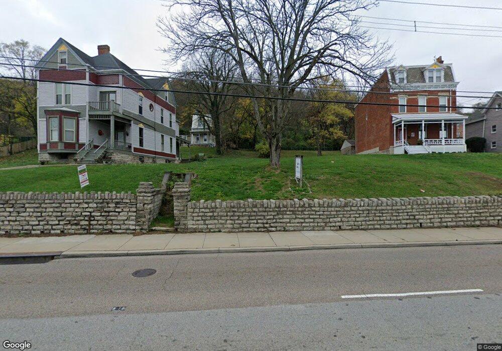
2538 River Rd Cincinnati, OH 45204
East Price Hill NeighborhoodEstimated Value: $105,000 - $329,000
5
Beds
2
Baths
--
Sq Ft
3,311
Sq Ft Lot
About This Home
This home is located at 2538 River Rd, Cincinnati, OH 45204 and is currently estimated at $182,333. 2538 River Rd is a home located in Hamilton County with nearby schools including Oyler School, Robert A. Taft Information Technology High School, and Gilbert A. Dater High School.
Ownership History
Date
Name
Owned For
Owner Type
Purchase Details
Closed on
Jun 29, 2023
Sold by
Spark Investments
Bought by
Rec Investments Llc
Current Estimated Value
Purchase Details
Closed on
Nov 23, 2021
Sold by
Collins Riverside Investments Llc
Bought by
Spark Investments Llc
Purchase Details
Closed on
Apr 17, 2009
Sold by
Brown Arlon R
Bought by
Collins Riverside Development Llc
Purchase Details
Closed on
Oct 27, 2003
Sold by
Magrino Robert and Dsouza Bernadette
Bought by
Clark Michael
Purchase Details
Closed on
Nov 25, 1997
Sold by
Murray Theresa A and Born Theresa A
Bought by
Magrino Robert and Dsouza Bernadette
Home Financials for this Owner
Home Financials are based on the most recent Mortgage that was taken out on this home.
Original Mortgage
$52,800
Interest Rate
7.46%
Create a Home Valuation Report for This Property
The Home Valuation Report is an in-depth analysis detailing your home's value as well as a comparison with similar homes in the area
Home Values in the Area
Average Home Value in this Area
Purchase History
| Date | Buyer | Sale Price | Title Company |
|---|---|---|---|
| Rec Investments Llc | $6,250 | None Listed On Document | |
| Spark Investments Llc | $2,000,769 | None Available | |
| Spark Investments Inc | $2,000,769 | None Listed On Document | |
| Collins Riverside Development Llc | -- | Attorney | |
| Clark Michael | $45,000 | -- | |
| Magrino Robert | $66,000 | -- |
Source: Public Records
Mortgage History
| Date | Status | Borrower | Loan Amount |
|---|---|---|---|
| Previous Owner | Magrino Robert | $52,800 |
Source: Public Records
Tax History
| Year | Tax Paid | Tax Assessment Tax Assessment Total Assessment is a certain percentage of the fair market value that is determined by local assessors to be the total taxable value of land and additions on the property. | Land | Improvement |
|---|---|---|---|---|
| 2025 | $566 | $8,785 | $8,785 | -- |
| 2024 | $565 | $8,785 | $8,785 | -- |
| 2023 | $566 | $8,785 | $8,785 | $0 |
| 2022 | $628 | $8,785 | $8,785 | $0 |
| 2021 | $615 | $8,785 | $8,785 | $0 |
| 2020 | $617 | $8,785 | $8,785 | $0 |
| 2019 | $677 | $8,785 | $8,785 | $0 |
| 2018 | $677 | $8,785 | $8,785 | $0 |
| 2017 | $652 | $8,785 | $8,785 | $0 |
| 2016 | $1,431 | $18,918 | $18,918 | $0 |
| 2015 | $1,280 | $18,918 | $18,918 | $0 |
| 2014 | $1,286 | $18,918 | $18,918 | $0 |
| 2013 | $1,335 | $19,303 | $19,303 | $0 |
Source: Public Records
Map
Nearby Homes
- 2624 River Rd
- 2462 River Rd
- 2403 Elberon Ave
- 377 Cityscape West Dr
- 381 Cityscape West Dr
- 454 Grand Ave
- 2414 River Rd
- 3114 Murdock Ave
- 395 Purcell Ave
- 407 Purcell Ave
- 607 Hawthorne Ave
- 538 Grand Ave
- 540 Grand Ave
- 435 Purcell Ave
- 514 Considine Ave
- 309 Mount Hope Ave
- 552 Grand Ave
- 25 Kenner St
- 607 Elm St
- 2814 Bodley Ave
Your Personal Tour Guide
Ask me questions while you tour the home.