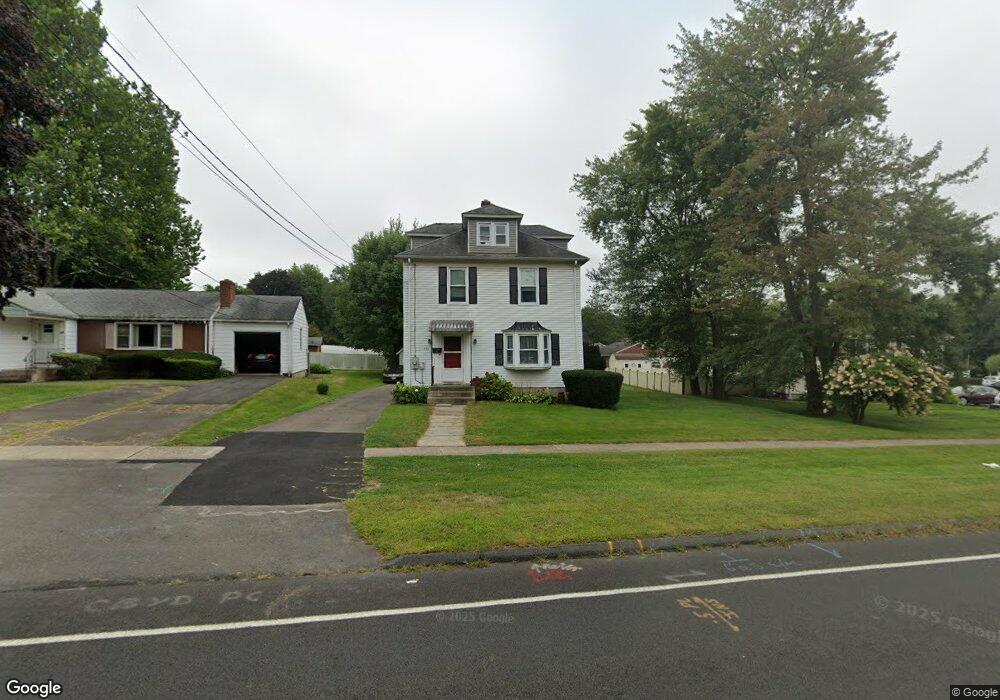
254 Wells Rd Wethersfield, CT 06109
Estimated Value: $276,000 - $344,000
3
Beds
2
Baths
1,500
Sq Ft
$202/Sq Ft
Est. Value
About This Home
This home is located at 254 Wells Rd, Wethersfield, CT 06109 and is currently estimated at $302,515, approximately $201 per square foot. 254 Wells Rd is a home located in Hartford County with nearby schools including Emerson-Williams School, Silas Deane Middle School, and Wethersfield High School.
Ownership History
Date
Name
Owned For
Owner Type
Purchase Details
Closed on
Sep 29, 2022
Sold by
Bergeron John F and Bergeron Rosina M
Bought by
Breard Jason T and Breard Tammy B
Current Estimated Value
Home Financials for this Owner
Home Financials are based on the most recent Mortgage that was taken out on this home.
Original Mortgage
$132,750
Outstanding Balance
$125,973
Interest Rate
5.13%
Mortgage Type
Purchase Money Mortgage
Estimated Equity
$176,542
Purchase Details
Closed on
Nov 12, 2013
Sold by
Aiello Mary
Bought by
Bergeron Rosina M and Bergeron Jphn F
Home Financials for this Owner
Home Financials are based on the most recent Mortgage that was taken out on this home.
Original Mortgage
$109,500
Interest Rate
4.25%
Mortgage Type
Adjustable Rate Mortgage/ARM
Create a Home Valuation Report for This Property
The Home Valuation Report is an in-depth analysis detailing your home's value as well as a comparison with similar homes in the area
Home Values in the Area
Average Home Value in this Area
Purchase History
| Date | Buyer | Sale Price | Title Company |
|---|---|---|---|
| Breard Jason T | $177,000 | None Available | |
| Bergeron Rosina M | $155,000 | -- |
Source: Public Records
Mortgage History
| Date | Status | Borrower | Loan Amount |
|---|---|---|---|
| Open | Breard Jason T | $132,750 | |
| Previous Owner | Bergeron Rosina M | $109,500 |
Source: Public Records
Tax History
| Year | Tax Paid | Tax Assessment Tax Assessment Total Assessment is a certain percentage of the fair market value that is determined by local assessors to be the total taxable value of land and additions on the property. | Land | Improvement |
|---|---|---|---|---|
| 2025 | $8,651 | $209,870 | $94,740 | $115,130 |
| 2024 | $5,865 | $135,690 | $65,100 | $70,590 |
| 2023 | $5,669 | $135,690 | $65,100 | $70,590 |
| 2022 | $5,574 | $135,690 | $65,100 | $70,590 |
| 2021 | $5,519 | $135,690 | $65,100 | $70,590 |
| 2020 | $5,521 | $135,690 | $65,100 | $70,590 |
| 2019 | $5,528 | $135,690 | $65,100 | $70,590 |
| 2018 | $5,668 | $139,000 | $62,200 | $76,800 |
| 2017 | $5,528 | $139,000 | $62,200 | $76,800 |
| 2016 | $5,357 | $139,000 | $62,200 | $76,800 |
| 2015 | $5,308 | $139,000 | $62,200 | $76,800 |
| 2014 | $5,107 | $139,000 | $62,200 | $76,800 |
Source: Public Records
Map
Nearby Homes
- 108 Chamberlain Rd
- 35 Stillwold Dr
- 137 Dale Rd
- 91 Somerset St
- 87 Somerset St
- 116 Wells Farm Dr
- 38 Wheeler Rd
- 455 Brimfield Rd
- 89 Merriman Rd
- 31 Ox Yoke Dr
- 195 Middletown Ave
- 1 Fernwood St
- 317 Garden St Unit 319
- 104 Willow St
- 20 Forest Dr
- 18 Avalon Place
- 273 Forest Dr
- 295 Ridge Rd Unit 8
- 48 Ridge Crest Cir
- 19 Albert Ave
Your Personal Tour Guide
Ask me questions while you tour the home.