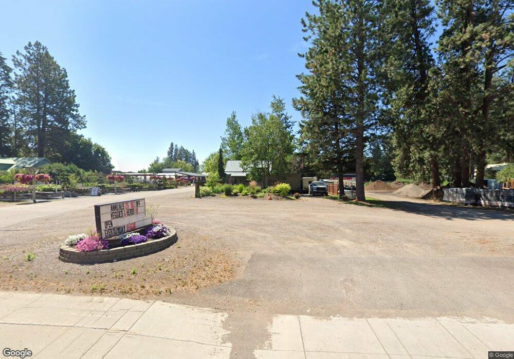
2540 9th St W Columbia Falls, MT 59912
Estimated Value: $517,000 - $850,000
2
Beds
1
Bath
1,248
Sq Ft
$496/Sq Ft
Est. Value
About This Home
This home is located at 2540 9th St W, Columbia Falls, MT 59912 and is currently estimated at $619,280, approximately $496 per square foot. 2540 9th St W is a home located in Flathead County with nearby schools including Ruder Elementary School, Columbia Falls Junior High School (7-8), and Columbia Falls High School.
Ownership History
Date
Name
Owned For
Owner Type
Purchase Details
Closed on
Nov 4, 2008
Sold by
Connor David J and Connor Lisa L
Bought by
Columbia Nursery & Landscape Llc
Current Estimated Value
Home Financials for this Owner
Home Financials are based on the most recent Mortgage that was taken out on this home.
Original Mortgage
$168,500
Interest Rate
6.09%
Mortgage Type
Unknown
Purchase Details
Closed on
Aug 20, 2007
Sold by
Tungsten Holdings Inc
Bought by
David Dennis A
Purchase Details
Closed on
Aug 8, 2007
Sold by
Hanehey Sammy L and Hanchey April A
Bought by
Tungsten Holdings Inc
Purchase Details
Closed on
Nov 19, 2004
Sold by
Hanchey Sammy L and Hancey April A
Bought by
David Dennis A
Create a Home Valuation Report for This Property
The Home Valuation Report is an in-depth analysis detailing your home's value as well as a comparison with similar homes in the area
Home Values in the Area
Average Home Value in this Area
Purchase History
| Date | Buyer | Sale Price | Title Company |
|---|---|---|---|
| Columbia Nursery & Landscape Llc | -- | None Available | |
| Connor David J | -- | None Available | |
| David Dennis A | -- | Fnt | |
| Tungsten Holdings Inc | -- | None Available | |
| David Dennis A | -- | Fnt |
Source: Public Records
Mortgage History
| Date | Status | Borrower | Loan Amount |
|---|---|---|---|
| Previous Owner | Connor David J | $168,500 |
Source: Public Records
Tax History Compared to Growth
Tax History
| Year | Tax Paid | Tax Assessment Tax Assessment Total Assessment is a certain percentage of the fair market value that is determined by local assessors to be the total taxable value of land and additions on the property. | Land | Improvement |
|---|---|---|---|---|
| 2025 | $3,282 | $537,130 | $0 | $0 |
| 2024 | $2,833 | $367,370 | $0 | $0 |
| 2023 | $2,861 | $367,370 | $0 | $0 |
| 2022 | $3,491 | $332,750 | $0 | $0 |
| 2021 | $3,679 | $332,750 | $0 | $0 |
| 2020 | $1,406 | $152,900 | $0 | $0 |
| 2019 | $1,332 | $152,900 | $0 | $0 |
| 2018 | $1,031 | $112,280 | $0 | $0 |
| 2017 | $1,003 | $112,280 | $0 | $0 |
| 2016 | $862 | $94,200 | $0 | $0 |
| 2015 | $857 | $94,200 | $0 | $0 |
| 2014 | $1,154 | $78,440 | $0 | $0 |
Source: Public Records
Map
Nearby Homes
- 8786 U S 2
- 185 Riley Ln
- 47 Trumbull Ridge Rd
- 1947 9th St W
- 7 Beth Rd
- 26 Martha Rd
- 9 & 11 Diane Rd
- 165 Veteran Dr
- 1159 15th Ave W
- 1318 Wildcat Dr
- 1615 Ave
- 1924 Rapids Ave
- 1005 10th St W
- 929 9th St W
- 1265 Jellison Rd
- 809 9th St W Unit 1
- 809 9th St W Unit 14
- 809 9th St W Unit 17
- TBD Lot #81 Meadow Lake Dr
- TBD Lot #36 Meadow Lake Dr
- 2448 9th St W
- 2620 9th St W
- 111 S Hilltop Rd
- 2430 9th St W
- 2511 9th St W
- 135 S Hilltop Rd
- 2439 9th St W
- 2405 9th St W
- 2555, 2553 9th St W
- 2555 Hwy 2 W
- 2538 9th St W
- 8752 U S Route 2
- 2400 9th St W
- 2404 9th St W
- 2555 9th St W
- 105 N Hilltop Rd
- 145 S Hilltop Rd
- 110 S Hilltop Rd
- 139 N Hilltop Rd
- 125 N Hilltop Rd