25454 Rowland Rd Locust, NC 28097
Estimated Value: $255,000 - $433,000
4
Beds
2
Baths
2,168
Sq Ft
$158/Sq Ft
Est. Value
About This Home
This home is located at 25454 Rowland Rd, Locust, NC 28097 and is currently estimated at $343,079, approximately $158 per square foot. 25454 Rowland Rd is a home located in Stanly County with nearby schools including Locust Elementary School, West Stanly Middle School, and West Stanly High School.
Ownership History
Date
Name
Owned For
Owner Type
Purchase Details
Closed on
May 2, 2022
Sold by
Anne W Flora Revocable Trust
Bought by
Flora James Everette
Current Estimated Value
Home Financials for this Owner
Home Financials are based on the most recent Mortgage that was taken out on this home.
Original Mortgage
$202,500
Outstanding Balance
$190,357
Interest Rate
4.16%
Mortgage Type
New Conventional
Estimated Equity
$152,722
Purchase Details
Closed on
Oct 29, 2020
Sold by
Flora James E and Flora Patricia A
Bought by
Flora James E and The Anne W Flora Revocable Trust
Create a Home Valuation Report for This Property
The Home Valuation Report is an in-depth analysis detailing your home's value as well as a comparison with similar homes in the area
Home Values in the Area
Average Home Value in this Area
Purchase History
| Date | Buyer | Sale Price | Title Company |
|---|---|---|---|
| Flora James Everette | $225,000 | -- | |
| Flora James E | -- | None Available |
Source: Public Records
Mortgage History
| Date | Status | Borrower | Loan Amount |
|---|---|---|---|
| Open | Flora James Everette | $202,500 |
Source: Public Records
Tax History Compared to Growth
Tax History
| Year | Tax Paid | Tax Assessment Tax Assessment Total Assessment is a certain percentage of the fair market value that is determined by local assessors to be the total taxable value of land and additions on the property. | Land | Improvement |
|---|---|---|---|---|
| 2025 | $1,626 | $246,402 | $133,418 | $112,984 |
| 2024 | $1,212 | $168,360 | $85,694 | $82,666 |
| 2023 | $1,212 | $168,360 | $85,694 | $82,666 |
| 2022 | $1,212 | $168,360 | $85,694 | $82,666 |
| 2021 | $1,212 | $168,360 | $85,694 | $82,666 |
| 2020 | $1,132 | $146,623 | $76,978 | $69,645 |
| 2019 | $1,144 | $146,623 | $76,978 | $69,645 |
| 2018 | $762 | $146,623 | $76,978 | $69,645 |
| 2017 | $1,144 | $146,623 | $76,978 | $69,645 |
| 2016 | $1,060 | $139,491 | $70,834 | $68,657 |
| 2015 | $1,142 | $139,491 | $70,834 | $68,657 |
| 2014 | $1,164 | $140,983 | $70,834 | $70,149 |
Source: Public Records
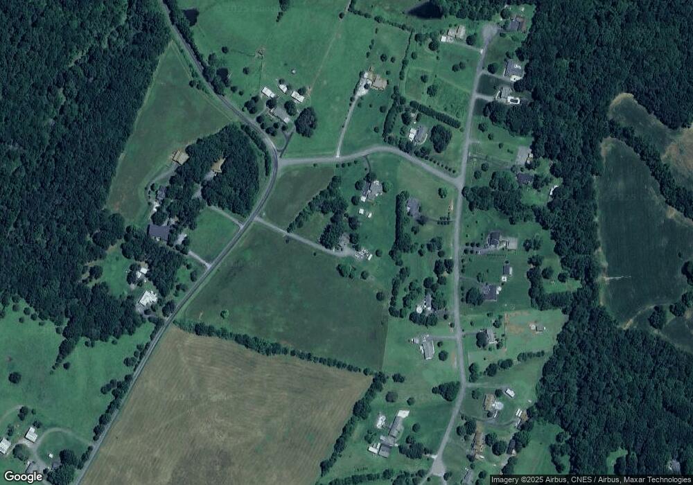
Map
Nearby Homes
- 26565 Red Barn Trail
- 24910 Birdhouse Ln
- 24910 Birdhouse Ln Unit 1
- 24924 Birdhouse Ln Unit 2
- 17427 Purser Dr
- 18854 Old Mill Rd
- 21063 Running Creek Dr
- 21056 Running Creek Dr
- 21047 Running Creek Dr
- 21048 Running Creek Dr
- 21040 Running Creek Dr
- 21039 Running Creek Dr
- 21032 Running Creek Dr
- 21013 Running Creek Dr
- 27040 Crepts Branch Rd
- Lot 6 Flint Ridge Rd Unit 6
- 00 Millingport Rd Unit 3
- 00 Millingport Rd Unit 2
- 00 Millingport Rd Unit 1
- Rainier Plan at Running Creek
- 15636 Bee Tree Rd
- 26495 Red Barn Trail
- 26465 Red Barn Trail
- 15651 Bee Tree Rd
- 26447 Red Barn Trail
- 25488 Rowland Rd
- 26468 Red Barn Trail
- 15623 Bee Tree Rd
- 26490 Red Barn Trail
- 26450 Red Barn Trail
- 26514 Red Barn Trail
- 25425 Rowland Rd
- 26409 Red Barn Trail
- 25403 Rowland Rd
- 26430 Red Barn Trail
- 26548 Red Barn Trail
- 26416 Red Barn Trail
- 26556 Red Barn Trail
- 26401 Red Barn Trail
- 26400 Red Barn Trail