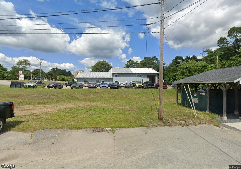
2546 Cranberry Hwy Wareham, MA 02571
--
Bed
2
Baths
6,300
Sq Ft
7.3
Acres
About This Home
This home is located at 2546 Cranberry Hwy, Wareham, MA 02571. 2546 Cranberry Hwy is a home located in Plymouth County.
Ownership History
Date
Name
Owned For
Owner Type
Purchase Details
Closed on
Jul 27, 2023
Sold by
Marcalice Llc
Bought by
2544 & 2546 Cranberry Rt and Eldayha
Home Financials for this Owner
Home Financials are based on the most recent Mortgage that was taken out on this home.
Original Mortgage
$1,060,000
Outstanding Balance
$1,033,174
Interest Rate
6.69%
Mortgage Type
Purchase Money Mortgage
Purchase Details
Closed on
Mar 29, 2016
Sold by
Liberty Rt and Thomson
Bought by
Marcalice Llc
Create a Home Valuation Report for This Property
The Home Valuation Report is an in-depth analysis detailing your home's value as well as a comparison with similar homes in the area
Home Values in the Area
Average Home Value in this Area
Purchase History
| Date | Buyer | Sale Price | Title Company |
|---|---|---|---|
| 2544 & 2546 Cranberry Rt | $1,325,000 | None Available | |
| 2544 & 2546 Cranberry Rt | $1,325,000 | None Available | |
| 2544 & 2546 Cranberry Rt | $1,325,000 | None Available | |
| Marcalice Llc | $900,000 | -- | |
| Marcalice Llc | $900,000 | -- |
Source: Public Records
Mortgage History
| Date | Status | Borrower | Loan Amount |
|---|---|---|---|
| Open | 2544 & 2546 Cranberry Rt | $1,060,000 | |
| Closed | 2544 & 2546 Cranberry Rt | $1,060,000 |
Source: Public Records
Tax History Compared to Growth
Tax History
| Year | Tax Paid | Tax Assessment Tax Assessment Total Assessment is a certain percentage of the fair market value that is determined by local assessors to be the total taxable value of land and additions on the property. | Land | Improvement |
|---|---|---|---|---|
| 2025 | $8,046 | $772,200 | $404,400 | $367,800 |
| 2024 | $6,393 | $569,300 | $265,500 | $303,800 |
| 2023 | $6,849 | $569,300 | $265,500 | $303,800 |
| 2022 | $7,503 | $569,300 | $265,500 | $303,800 |
| 2021 | $7,657 | $569,300 | $265,500 | $303,800 |
| 2020 | $7,549 | $569,300 | $265,500 | $303,800 |
| 2019 | $7,321 | $550,900 | $257,700 | $293,200 |
| 2018 | $7,509 | $550,900 | $257,700 | $293,200 |
| 2017 | $7,545 | $561,000 | $257,700 | $303,300 |
| 2016 | $7,590 | $561,000 | $257,700 | $303,300 |
| 2015 | $7,332 | $561,000 | $257,700 | $303,300 |
| 2014 | $7,405 | $576,300 | $281,700 | $294,600 |
Source: Public Records
Map
Nearby Homes
- 687 Main St
- 437 Main St
- 53 Starboard Dr Unit 36G
- 110 Mayflower Ridge Dr
- 19 Station St
- 233 Marion Rd
- 62 High St
- 189 Pine View Terrace
- 199 Windswept Rd
- 6 A Rock Marsh Rd Unit A
- 6 A Rock Marsh Rd Unit A
- 21 Windsor Dr
- 87 Great Hill Dr
- 59 Timber Ln
- 850 Main St
- 45 Main St Unit 38
- 13 Cherry St
- 35 Willard St
- 5 Sola's Cir
- 6 Back St
- 2536 Cranberry Hwy
- 2532 Cranberry Hwy
- 2530 Cranberry Hwy
- 14 Tremont Rd
- 2528 Cranberry Hwy
- 3 Tremont Rd Unit A
- 3 Tremont Rd
- 3a Tremont Rd
- 2525 Cranberry Hwy
- 2526 Cranberry Hwy
- 609 Main St
- 0 Main St
- 0 Main St Unit 2028404
- 0 Main St Unit 2028403
- 0 Main St Unit 2028402
- 0 Main St Unit 9909111
- 0 Main St Unit 32 7029595
- 0 Main St Unit 5008432
- 0 Main St Unit 8046611
- 0 Main St Unit 45786