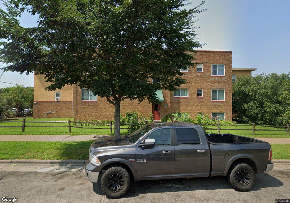
255 Birmingham St Unit 201 Saint Paul, MN 55106
Battle Creek NeighborhoodEstimated Value: $93,088 - $205,000
2
Beds
1
Bath
600
Sq Ft
$223/Sq Ft
Est. Value
About This Home
This home is located at 255 Birmingham St Unit 201, Saint Paul, MN 55106 and is currently estimated at $134,022, approximately $223 per square foot. 255 Birmingham St Unit 201 is a home located in Ramsey County with nearby schools including Highwood Hills Elementary School, Battle Creek Middle School, and Harding Senior High School.
Ownership History
Date
Name
Owned For
Owner Type
Purchase Details
Closed on
Apr 24, 2020
Current Estimated Value
Home Financials for this Owner
Home Financials are based on the most recent Mortgage that was taken out on this home.
Original Mortgage
$75,000
Outstanding Balance
$66,353
Interest Rate
3.33%
Estimated Equity
$67,669
Purchase Details
Closed on
Feb 10, 2017
Sold by
Conard Alan and Conard Jolene
Bought by
Urbanski Rentals Llc
Purchase Details
Closed on
Nov 19, 2015
Sold by
Theis Judith L
Bought by
Deutsche Bank National Trust Company
Create a Home Valuation Report for This Property
The Home Valuation Report is an in-depth analysis detailing your home's value as well as a comparison with similar homes in the area
Home Values in the Area
Average Home Value in this Area
Purchase History
| Date | Buyer | Sale Price | Title Company |
|---|---|---|---|
| -- | $75,000 | -- | |
| Urbanski Rentals Llc | $72,018 | Title One Ins | |
| Deutsche Bank National Trust Company | $94,854 | Attorney |
Source: Public Records
Mortgage History
| Date | Status | Borrower | Loan Amount |
|---|---|---|---|
| Open | -- | $75,000 | |
| Closed | -- | -- |
Source: Public Records
Tax History Compared to Growth
Tax History
| Year | Tax Paid | Tax Assessment Tax Assessment Total Assessment is a certain percentage of the fair market value that is determined by local assessors to be the total taxable value of land and additions on the property. | Land | Improvement |
|---|---|---|---|---|
| 2025 | $737 | $88,200 | $1,000 | $87,200 |
| 2023 | $737 | $83,700 | $1,000 | $82,700 |
| 2022 | $1,230 | $81,300 | $1,000 | $80,300 |
| 2021 | $1,332 | $73,200 | $1,000 | $72,200 |
| 2020 | $1,360 | $82,500 | $1,000 | $81,500 |
| 2019 | $1,380 | $78,300 | $1,000 | $77,300 |
| 2018 | $1,304 | $78,300 | $1,000 | $77,300 |
| 2017 | $1,246 | $74,300 | $1,000 | $73,300 |
| 2016 | $814 | $0 | $0 | $0 |
| 2015 | $758 | $59,000 | $5,900 | $53,100 |
| 2014 | $790 | $0 | $0 | $0 |
Source: Public Records
Map
Nearby Homes
- 1526 Upper Afton Rd
- 277 English St
- 1574 Pacific St
- 1549 Old Hudson Rd
- 449 Birmingham St
- 1320 Wilson Ave
- 1591 Old Hudson Rd
- 426 Griffith St
- 1631 Conway St
- 3 Kennard Ct
- 1323 4th St E
- 1747 Louise Ave
- 1183 Hancock St
- 1685 Fremont Ave
- 1063 Burns Ave
- 1237 5th St E
- 442 White Bear Ave N
- 1207 5th St E
- 1810 Wilson Ave
- 1201 6th St E
- 259 Birmingham St Unit C201
- 255 Birmingham St Unit B001
- 259 Birmingham St Unit C202
- 255 Birmingham St Unit B101
- 259 Birmingham St Unit C001
- 255 Birmingham St Unit B202
- 259 Birmingham St Unit C102
- 259 Birmingham St Unit C101
- 255 Birmingham St Unit B102
- 255 Birmingham St
- 251 Birmingham St Unit A201
- 251 Birmingham St Unit A202
- 251 Birmingham St Unit A102
- 251 Birmingham St Unit A101
- 251 Birmingham St Unit A001
- 251 Birmingham St
- 273 Birmingham St
- 250 Birmingham St
- 251 251 Birmingham-Street-
- 250-304 Birmingham St