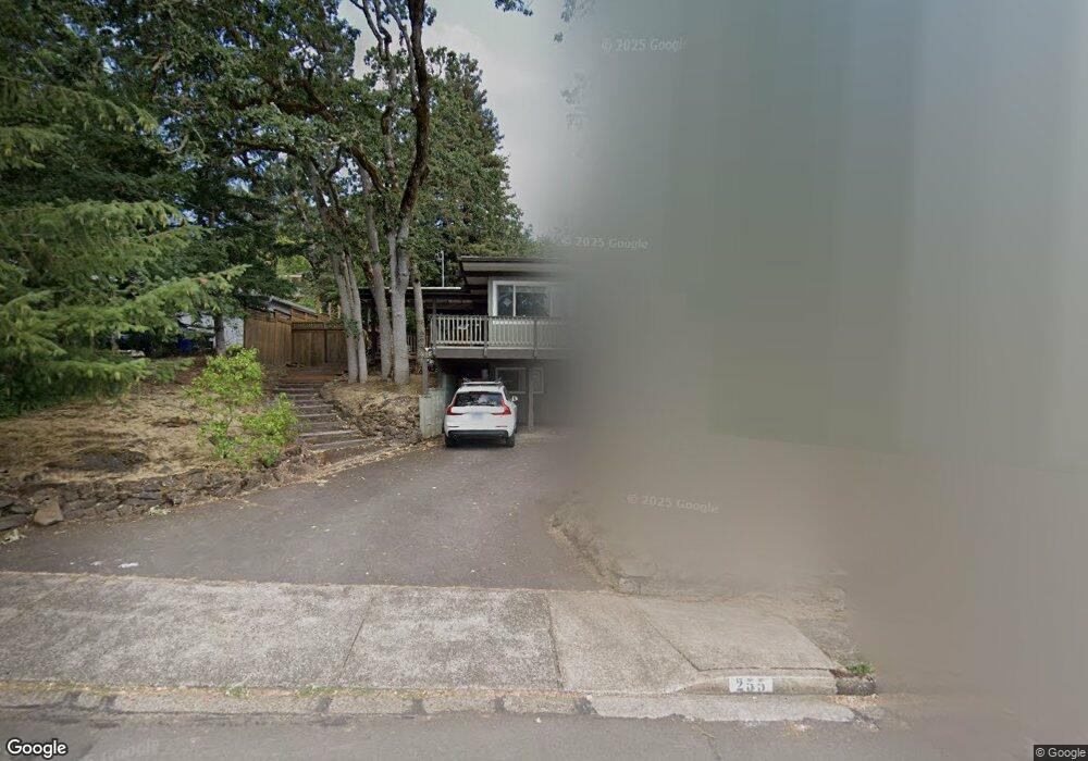
255 E 39th Ave Eugene, OR 97405
Southeast Eugene NeighborhoodEstimated Value: $596,776 - $636,000
4
Beds
3
Baths
2,545
Sq Ft
$242/Sq Ft
Est. Value
About This Home
This home is located at 255 E 39th Ave, Eugene, OR 97405 and is currently estimated at $616,694, approximately $242 per square foot. 255 E 39th Ave is a home located in Lane County with nearby schools including Camas Ridge Community Elementary School, Spencer Butte Middle School, and South Eugene High School.
Ownership History
Date
Name
Owned For
Owner Type
Purchase Details
Closed on
Nov 5, 2003
Sold by
Westphal Kessler Christi and Kessler Chad T
Bought by
Spear David H and Spear Melody J
Current Estimated Value
Home Financials for this Owner
Home Financials are based on the most recent Mortgage that was taken out on this home.
Original Mortgage
$193,200
Outstanding Balance
$86,336
Interest Rate
5.94%
Mortgage Type
Purchase Money Mortgage
Estimated Equity
$530,358
Purchase Details
Closed on
May 24, 1999
Sold by
Ogren Karl W
Bought by
Westphal Kessler Christi L and Kessler Chad T
Home Financials for this Owner
Home Financials are based on the most recent Mortgage that was taken out on this home.
Original Mortgage
$170,100
Interest Rate
6.86%
Create a Home Valuation Report for This Property
The Home Valuation Report is an in-depth analysis detailing your home's value as well as a comparison with similar homes in the area
Home Values in the Area
Average Home Value in this Area
Purchase History
| Date | Buyer | Sale Price | Title Company |
|---|---|---|---|
| Spear David H | $241,500 | Western Title & Escrow Co | |
| Westphal Kessler Christi L | $189,900 | Western Pioneer Title Co |
Source: Public Records
Mortgage History
| Date | Status | Borrower | Loan Amount |
|---|---|---|---|
| Open | Spear David H | $193,200 | |
| Previous Owner | Westphal Kessler Christi L | $170,100 |
Source: Public Records
Tax History
| Year | Tax Paid | Tax Assessment Tax Assessment Total Assessment is a certain percentage of the fair market value that is determined by local assessors to be the total taxable value of land and additions on the property. | Land | Improvement |
|---|---|---|---|---|
| 2025 | $5,756 | $295,401 | -- | -- |
| 2024 | $5,684 | $286,798 | -- | -- |
| 2023 | $5,684 | $278,445 | $0 | $0 |
| 2022 | $5,325 | $270,335 | $0 | $0 |
| 2021 | $5,001 | $262,462 | $0 | $0 |
| 2020 | $5,019 | $254,818 | $0 | $0 |
| 2019 | $4,847 | $247,397 | $0 | $0 |
| 2018 | $4,563 | $233,196 | $0 | $0 |
| 2017 | $4,358 | $233,196 | $0 | $0 |
| 2016 | $4,250 | $226,404 | $0 | $0 |
| 2015 | $4,128 | $219,810 | $0 | $0 |
| 2014 | $4,045 | $213,408 | $0 | $0 |
Source: Public Records
Map
Nearby Homes
- 275 E 39th Ave
- 434 E 39th Ave
- 170 E 40th Ave
- 0 E 39th Ave
- 4023 Donald St Unit K
- 4083 Donald St Unit A
- 75 W 35th Place
- 555 Stafford Ct
- 585 E 36th Ave
- 4295 Ferry St
- 320 Dellwood Dr
- 357 W 37th Ave
- 3593 Lawrence St
- 310 1/2 E 31st Ave Unit 1
- 4425 Hilyard St
- 4320 Fox Hollow Rd
- 17 Westbrook Way
- 21 Westbrook Way
- 910 E 43rd Ave
- 4364 Fox Hollow Rd
Your Personal Tour Guide
Ask me questions while you tour the home.