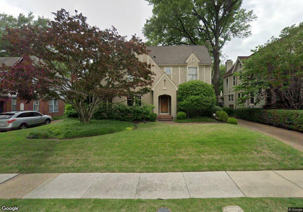
255 Kimbrough Place Memphis, TN 38104
Central Gardens NeighborhoodEstimated Value: $476,000 - $827,000
3
Beds
3
Baths
3,231
Sq Ft
$177/Sq Ft
Est. Value
About This Home
This home is located at 255 Kimbrough Place, Memphis, TN 38104 and is currently estimated at $571,911, approximately $177 per square foot. 255 Kimbrough Place is a home located in Shelby County with nearby schools including Bruce Elementary School, Bellevue Middle School, and Central High School.
Ownership History
Date
Name
Owned For
Owner Type
Purchase Details
Closed on
Jul 31, 1996
Sold by
Sellers Tim L
Bought by
Guenther Richard P and Guenther Ansley L
Current Estimated Value
Home Financials for this Owner
Home Financials are based on the most recent Mortgage that was taken out on this home.
Original Mortgage
$184,000
Outstanding Balance
$14,610
Interest Rate
8.26%
Estimated Equity
$557,301
Purchase Details
Closed on
Nov 2, 1995
Bought by
Scott Herron T
Create a Home Valuation Report for This Property
The Home Valuation Report is an in-depth analysis detailing your home's value as well as a comparison with similar homes in the area
Home Values in the Area
Average Home Value in this Area
Purchase History
| Date | Buyer | Sale Price | Title Company |
|---|---|---|---|
| Guenther Richard P | $230,000 | -- | |
| Scott Herron T | $105,000 | -- |
Source: Public Records
Mortgage History
| Date | Status | Borrower | Loan Amount |
|---|---|---|---|
| Open | Guenther Richard P | $184,000 |
Source: Public Records
Tax History Compared to Growth
Tax History
| Year | Tax Paid | Tax Assessment Tax Assessment Total Assessment is a certain percentage of the fair market value that is determined by local assessors to be the total taxable value of land and additions on the property. | Land | Improvement |
|---|---|---|---|---|
| 2025 | $3,947 | $127,750 | $24,200 | $103,550 |
| 2024 | $3,947 | $116,425 | $17,625 | $98,800 |
| 2023 | $7,092 | $116,425 | $17,625 | $98,800 |
| 2022 | $7,092 | $116,425 | $17,625 | $98,800 |
| 2021 | $7,175 | $116,425 | $17,625 | $98,800 |
| 2020 | $6,994 | $96,525 | $17,625 | $78,900 |
| 2019 | $6,994 | $96,525 | $17,625 | $78,900 |
| 2018 | $6,994 | $96,525 | $17,625 | $78,900 |
| 2017 | $3,967 | $96,525 | $17,625 | $78,900 |
| 2016 | $3,262 | $74,650 | $0 | $0 |
| 2014 | $3,262 | $74,650 | $0 | $0 |
Source: Public Records
Map
Nearby Homes
- 1464 Peabody Ave
- 1486 Eastmoreland Ave
- 1500 Eastmoreland Ave
- 1531 Peabody Ave
- 1431 Carr Ave
- 1480 Vinton Ave
- 1559 Eastmoreland Ave
- 1570 Linden Ave
- 1336 Peabody Ave
- 1429 Vinton Ave
- 1570 Eastmoreland Ave
- 1544 Vinton Ave
- 1391 Vinton Ave
- 1584 Eastmoreland Ave Unit 3
- 1597 Eastmoreland Ave
- 1535 Monroe Ave
- 1361 Vinton Ave
- 1621 Linden Ave
- 1619 Eastmoreland Ave
- 1297 Peabody Ave
- 261 Kimbrough Place
- 247 Kimbrough Place
- 1447 Linden Ave
- 267 Kimbrough Place
- 1445 Linden Ave
- 1444 Vance Ave
- 1467 Linden Ave
- 1442 Vance Ave
- 235 Kimbrough Place
- 1438 Vance Ave
- 1432 Vance Ave
- 1475 Linden Ave
- 290 S Watkins St
- 296 S Watkins St Unit 1
- 296 S Watkins St
- 296 S Watkins St Unit Rear
- 296 S Watkins St Unit Front
- 227 Kimbrough Place
- 1476 Vance Ave
- 1444 Linden Ave