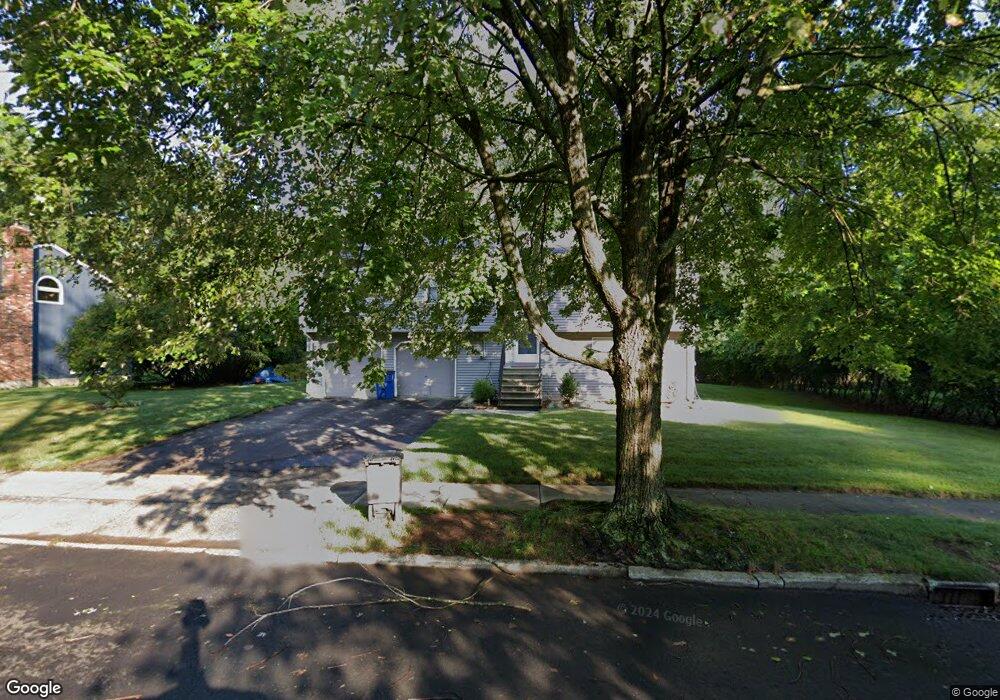
255 Kohary Dr New Haven, CT 06515
Westville NeighborhoodEstimated Value: $454,294 - $530,000
3
Beds
3
Baths
1,292
Sq Ft
$380/Sq Ft
Est. Value
About This Home
This home is located at 255 Kohary Dr, New Haven, CT 06515 and is currently estimated at $491,574, approximately $380 per square foot. 255 Kohary Dr is a home located in New Haven County with nearby schools including Davis Academy for Arts & Design Innovation, Elm City Montessori School, and Hopkins School.
Ownership History
Date
Name
Owned For
Owner Type
Purchase Details
Closed on
Dec 19, 2011
Sold by
Saxton Moleek L and Saxton Marly
Bought by
Moler Gregory B
Current Estimated Value
Home Financials for this Owner
Home Financials are based on the most recent Mortgage that was taken out on this home.
Original Mortgage
$204,700
Outstanding Balance
$143,311
Interest Rate
4.01%
Estimated Equity
$348,263
Purchase Details
Closed on
Sep 18, 2001
Sold by
Swirsky Eileen
Bought by
Sheridan Marly and Saxton Moleek L
Home Financials for this Owner
Home Financials are based on the most recent Mortgage that was taken out on this home.
Original Mortgage
$170,000
Interest Rate
6.99%
Purchase Details
Closed on
Jun 24, 1987
Sold by
Da Barrille Inc
Bought by
Swirsky David H
Home Financials for this Owner
Home Financials are based on the most recent Mortgage that was taken out on this home.
Original Mortgage
$147,000
Interest Rate
10.5%
Create a Home Valuation Report for This Property
The Home Valuation Report is an in-depth analysis detailing your home's value as well as a comparison with similar homes in the area
Home Values in the Area
Average Home Value in this Area
Purchase History
| Date | Buyer | Sale Price | Title Company |
|---|---|---|---|
| Moler Gregory B | $255,915 | -- | |
| Sheridan Marly | $186,000 | -- | |
| Swirsky David H | $187,000 | -- |
Source: Public Records
Mortgage History
| Date | Status | Borrower | Loan Amount |
|---|---|---|---|
| Open | Moler Gregory B | $204,700 | |
| Previous Owner | Swirsky David H | $149,453 | |
| Previous Owner | Swirsky David H | $170,000 | |
| Previous Owner | Swirsky David H | $147,000 |
Source: Public Records
Tax History
| Year | Tax Paid | Tax Assessment Tax Assessment Total Assessment is a certain percentage of the fair market value that is determined by local assessors to be the total taxable value of land and additions on the property. | Land | Improvement |
|---|---|---|---|---|
| 2025 | $8,729 | $221,550 | $65,800 | $155,750 |
| 2024 | $8,530 | $221,550 | $65,800 | $155,750 |
| 2023 | $8,242 | $221,550 | $65,800 | $155,750 |
| 2022 | $8,807 | $221,550 | $65,800 | $155,750 |
| 2021 | $7,111 | $162,050 | $42,770 | $119,280 |
| 2020 | $7,111 | $162,050 | $42,770 | $119,280 |
| 2019 | $6,965 | $162,050 | $42,770 | $119,280 |
| 2018 | $6,965 | $162,050 | $42,770 | $119,280 |
| 2017 | $6,268 | $162,050 | $42,770 | $119,280 |
| 2016 | $6,867 | $165,270 | $44,380 | $120,890 |
| 2015 | $6,867 | $165,270 | $44,380 | $120,890 |
| 2014 | $6,867 | $165,270 | $44,380 | $120,890 |
Source: Public Records
Map
Nearby Homes
- 362 Oliver Rd
- 2095 Chapel St
- 56 Roger Rd
- 690 Forest Rd Unit 703
- 690 Forest Rd Unit 761
- 690 Forest Rd Unit 501
- 690 Forest Rd Unit 651
- 224 Ray Rd
- 70 Judwin Ave
- 11 Priscilla Rd
- 119 Westwood Rd
- 55 Marvel Rd
- 125 Lowin Ave
- 252 Alden Ave
- 420 Central Ave
- 51 Fountain Terrace
- 1 Long Hill Terrace
- 50 Morris Ave
- 143 Fountain St Unit A11
- 508 Yale Ave
- 265 Kohary Dr
- 245 Kohary Dr
- 86 Byron Place
- 78 Byron Place
- 250 Kohary Dr
- 170 Whittier Rd
- 260 Kohary Dr
- 235 Kohary Dr
- 200 Whittier Rd
- 240 Kohary Dr
- 180 Whittier Rd
- 70 Byron Place
- 230 Kohary Dr
- 460 Stevenson Rd
- 450 Stevenson Rd
- 220 Whittier Rd
- 83 Byron Place
- 225 Kohary Dr
- 446 Stevenson Rd
- 220 Kohary Dr
Your Personal Tour Guide
Ask me questions while you tour the home.