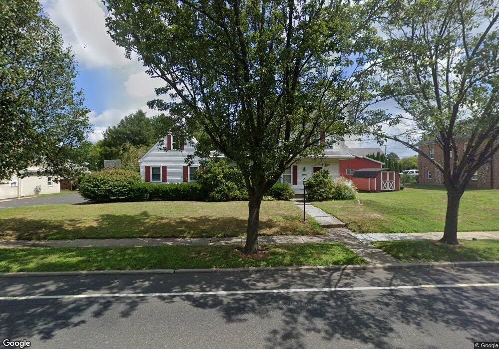
255 Main St Mantua, NJ 08051
Estimated Value: $422,797 - $596,000
Studio
--
Bath
2,971
Sq Ft
$170/Sq Ft
Est. Value
About This Home
This home is located at 255 Main St, Mantua, NJ 08051 and is currently estimated at $503,699, approximately $169 per square foot. 255 Main St is a home located in Gloucester County with nearby schools including J. Mason Tomlin Elementary School, Centre City School, and Clearview Regional Middle School.
Ownership History
Date
Name
Owned For
Owner Type
Purchase Details
Closed on
May 24, 2005
Sold by
Denny Agnes M
Bought by
Hellerman Scott and Hellerman Susan
Current Estimated Value
Create a Home Valuation Report for This Property
The Home Valuation Report is an in-depth analysis detailing your home's value as well as a comparison with similar homes in the area
Home Values in the Area
Average Home Value in this Area
Purchase History
| Date | Buyer | Sale Price | Title Company |
|---|---|---|---|
| Hellerman Scott | -- | -- |
Source: Public Records
Tax History
| Year | Tax Paid | Tax Assessment Tax Assessment Total Assessment is a certain percentage of the fair market value that is determined by local assessors to be the total taxable value of land and additions on the property. | Land | Improvement |
|---|---|---|---|---|
| 2025 | $8,382 | $325,500 | $56,800 | $268,700 |
| 2024 | $8,294 | $325,500 | $56,800 | $268,700 |
| 2023 | $8,294 | $325,500 | $56,800 | $268,700 |
| 2022 | $8,318 | $237,800 | $40,800 | $197,000 |
| 2021 | $8,380 | $237,800 | $40,800 | $197,000 |
| 2020 | $8,313 | $237,800 | $40,800 | $197,000 |
| 2019 | $8,173 | $237,800 | $40,800 | $197,000 |
| 2018 | $8,057 | $237,800 | $40,800 | $197,000 |
| 2017 | $7,935 | $237,800 | $40,800 | $197,000 |
| 2016 | $7,845 | $237,800 | $40,800 | $197,000 |
| 2015 | $7,652 | $237,800 | $40,800 | $197,000 |
| 2014 | $7,396 | $237,800 | $40,800 | $197,000 |
Source: Public Records
Map
Nearby Homes
- 267 Mccarthy Ave
- 146 Main St
- 112 Norris St
- 319 Bridgeton Pike
- 325 Bridgeton Pike
- 1147 Tristram Cir Unit 1147
- 125 Ivy Ln
- 505 W Mantua Ave
- 1184 Tristram Cir Unit 4
- 1180 Tristram Cir
- 7 S Garfield Ave
- 606 Sangreal Ct Unit 505
- 153 Pendragon Way Unit 153
- 71 Hickory Ave
- 137 Pendragon Way
- 722 Glenside Dr
- 239 Tony Cir
- 204 W Landing Rd
- 203 Tony Cir Unit 203
- 241 Tony Cir Unit 241
Your Personal Tour Guide
Ask me questions while you tour the home.