255 Mill Point Dr Hampton, VA 23669
Downtown Hampton NeighborhoodEstimated Value: $288,228 - $325,000
2
Beds
3
Baths
1,415
Sq Ft
$217/Sq Ft
Est. Value
About This Home
This home is located at 255 Mill Point Dr, Hampton, VA 23669 and is currently estimated at $307,057, approximately $217 per square foot. 255 Mill Point Dr is a home located in Hampton City with nearby schools including Capt. John Smith Elementary School, C. Alton Lindsay Middle School, and Phoebus High School.
Ownership History
Date
Name
Owned For
Owner Type
Purchase Details
Closed on
Feb 13, 2003
Sold by
Davidson John Henry
Bought by
Board Mark E
Current Estimated Value
Home Financials for this Owner
Home Financials are based on the most recent Mortgage that was taken out on this home.
Original Mortgage
$118,347
Outstanding Balance
$49,059
Interest Rate
5.88%
Mortgage Type
VA
Estimated Equity
$257,998
Create a Home Valuation Report for This Property
The Home Valuation Report is an in-depth analysis detailing your home's value as well as a comparison with similar homes in the area
Home Values in the Area
Average Home Value in this Area
Purchase History
| Date | Buyer | Sale Price | Title Company |
|---|---|---|---|
| Board Mark E | $114,900 | -- |
Source: Public Records
Mortgage History
| Date | Status | Borrower | Loan Amount |
|---|---|---|---|
| Open | Board Mark E | $118,347 |
Source: Public Records
Tax History
| Year | Tax Paid | Tax Assessment Tax Assessment Total Assessment is a certain percentage of the fair market value that is determined by local assessors to be the total taxable value of land and additions on the property. | Land | Improvement |
|---|---|---|---|---|
| 2025 | $148 | $286,900 | $65,000 | $221,900 |
| 2024 | $3,052 | $265,400 | $55,000 | $210,400 |
| 2023 | $3,052 | $250,900 | $55,000 | $195,900 |
| 2022 | $2,705 | $229,200 | $55,000 | $174,200 |
| 2021 | $2,761 | $212,200 | $55,000 | $157,200 |
| 2020 | $2,424 | $195,500 | $55,000 | $140,500 |
| 2019 | $2,532 | $204,200 | $55,000 | $149,200 |
| 2018 | $2,513 | $190,800 | $55,000 | $135,800 |
| 2017 | $2,460 | $0 | $0 | $0 |
| 2016 | $2,460 | $190,800 | $0 | $0 |
| 2015 | $2,460 | $0 | $0 | $0 |
| 2014 | $2,369 | $190,800 | $55,000 | $135,800 |
Source: Public Records
Map
Nearby Homes
- 233 Mill Point Dr
- 301 Washington St
- 115 E Pembroke Ave
- 329 Elm Ave
- 418 Wine St
- 603 Washington St
- 606 Washington St
- 542 River St
- 314 Cooper St
- 311 Cooper St
- 720 River St
- 433 Cooper St
- 439 Cooper St
- 144 Meredith St
- 221 Island Cove Ct Unit C
- 116 Linden Ave
- 27 Bacon St
- 16 S Cypress St
- 212 Dockside Dr Unit C
- 138 Eberly Terrace
- 253 Mill Point Dr
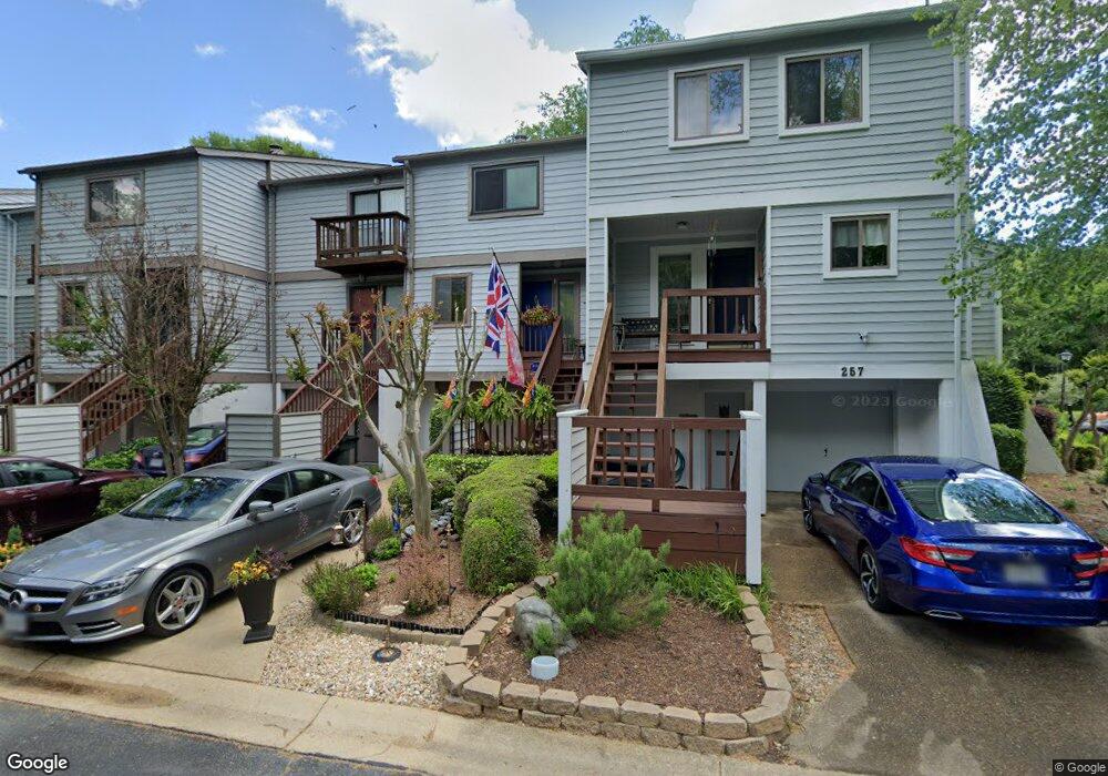
- 257 Mill Point Dr
- 251 Mill Point Dr
- 249 Mill Point Dr
- 95 Mill Point Dr
- 247 Mill Point Dr
- 245 Mill Point Dr
- 22 Miles Cary Mews
- 20 Miles Cary Mews
- 32 Miles Cary Mews
- 24 Miles Cary Mews Unit 4A
- 26 Miles Cary Mews
- 34 Miles Cary Mews
- 34 Miles Cary Mews Unit 5A
- 30 Miles Cary Mews
- 30 Miles Cary Mews Unit UD
- 28 Miles Cary Mews
- 36 Miles Cary Mews
- 100 Mill Point Dr
- 38 Miles Cary Mews
Your Personal Tour Guide
Ask me questions while you tour the home.