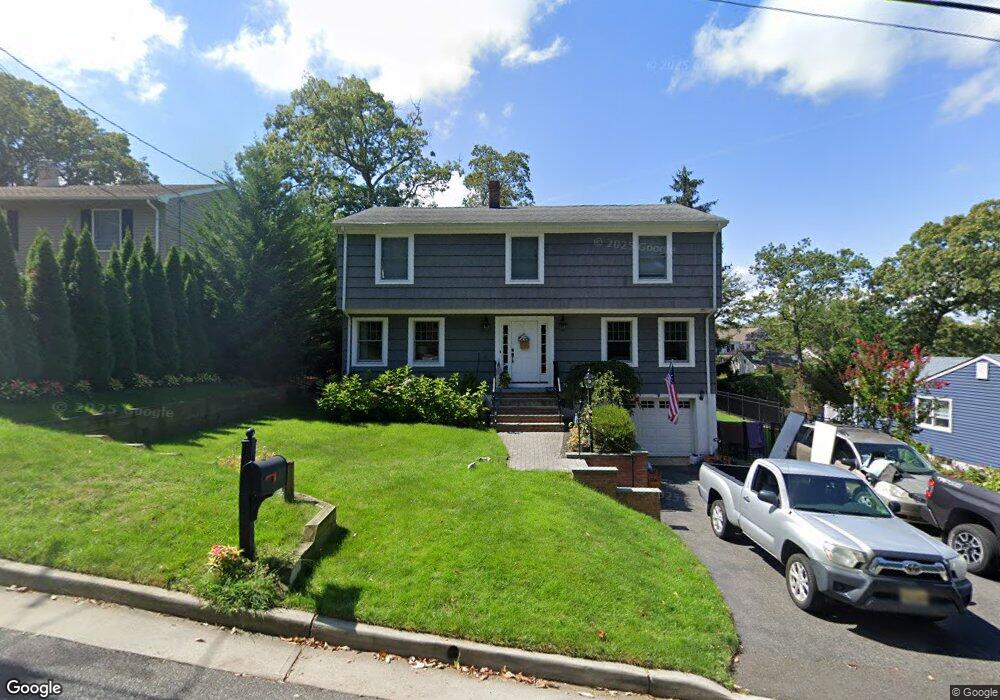
2557 Crestview Rd Manasquan, NJ 08736
Estimated Value: $886,234 - $1,199,000
5
Beds
2
Baths
2,332
Sq Ft
$435/Sq Ft
Est. Value
About This Home
This home is located at 2557 Crestview Rd, Manasquan, NJ 08736 and is currently estimated at $1,013,559, approximately $434 per square foot. 2557 Crestview Rd is a home located in Monmouth County with nearby schools including Wall High School and The Brookside School.
Ownership History
Date
Name
Owned For
Owner Type
Purchase Details
Closed on
Jan 15, 2002
Sold by
Foster Leslie
Bought by
Harold Richard and Harold Regina
Current Estimated Value
Home Financials for this Owner
Home Financials are based on the most recent Mortgage that was taken out on this home.
Original Mortgage
$190,000
Interest Rate
7.04%
Create a Home Valuation Report for This Property
The Home Valuation Report is an in-depth analysis detailing your home's value as well as a comparison with similar homes in the area
Home Values in the Area
Average Home Value in this Area
Purchase History
| Date | Buyer | Sale Price | Title Company |
|---|---|---|---|
| Harold Richard | $310,000 | -- |
Source: Public Records
Mortgage History
| Date | Status | Borrower | Loan Amount |
|---|---|---|---|
| Previous Owner | Harold Richard | $190,000 |
Source: Public Records
Tax History Compared to Growth
Tax History
| Year | Tax Paid | Tax Assessment Tax Assessment Total Assessment is a certain percentage of the fair market value that is determined by local assessors to be the total taxable value of land and additions on the property. | Land | Improvement |
|---|---|---|---|---|
| 2025 | $10,423 | $494,000 | $237,500 | $256,500 |
| 2024 | $10,112 | $494,000 | $237,500 | $256,500 |
| 2023 | $10,112 | $494,000 | $237,500 | $256,500 |
| 2022 | $9,865 | $494,000 | $237,500 | $256,500 |
| 2021 | $9,865 | $494,000 | $237,500 | $256,500 |
| 2020 | $9,747 | $494,000 | $237,500 | $256,500 |
| 2019 | $9,628 | $494,000 | $237,500 | $256,500 |
| 2018 | $9,544 | $494,000 | $237,500 | $256,500 |
| 2017 | $9,356 | $494,000 | $237,500 | $256,500 |
| 2016 | $9,159 | $494,000 | $237,500 | $256,500 |
| 2015 | $8,930 | $302,700 | $121,400 | $181,300 |
| 2014 | $9,442 | $322,500 | $117,500 | $205,000 |
Source: Public Records
Map
Nearby Homes
- 1210 Bayberry Rd
- 1207 Bayberry Rd
- 1209 Lenape Trail
- 203 Lenape Trail
- 1307 W Union Ln Unit A4
- 14 Lebanon Dr
- 142 Oval Rd
- 308 South St
- 1422 Lakewood Rd
- Kensington Plan at The Monmouth - The Villas 55+
- 5 Hickory Ct Unit B
- 10 Acpoan Place
- 1347 Winter View Rd
- 2573 Curriers Place
- 633 Agnes Ave
- 1215 Church St
- 2412 Greentree Dr
- 619 Park Ave
- 41 Poplar Ct Unit C
- 2404 Lenape Trail
- 2555 Crestview Rd
- 2561 Crestview Rd
- 2558 Summit Rd
- 1216 Ivy Rd
- 2551 Crestview Rd
- 2554 Summit Rd
- 2560 Crestview Rd
- 1213 Bayberry Rd
- 2549 Crestview Rd
- 2563 Crestview Rd
- 1217 Ivy Rd
- 2553 Summit Rd
- 2557 Summit Rd
- 1210 Ivy Rd
- 1211 Bayberry Rd
- 2550 Crestview Rd
- 2549 Summit Rd
- 2550 Summit Rd
- 2561 Summit Rd
- 2565 Crestview Rd