2559 7th St Salisbury, NC 28144
Estimated Value: $307,000 - $339,000
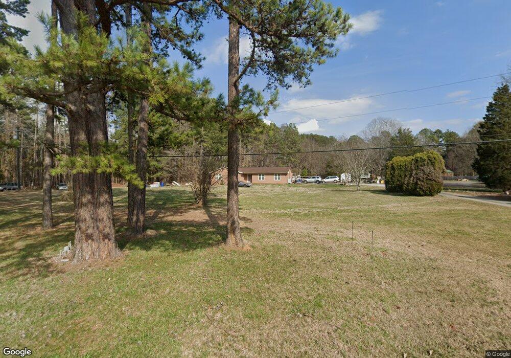
About This Home
This home is located at 2559 7th St, Salisbury, NC 28144 and is currently estimated at $324,923, approximately $160 per square foot. 2559 7th St is a home located in Rowan County with nearby schools including North Rowan Elementary School, North Rowan Middle School, and North Rowan High School.
Ownership History
We collect this data history from publicly available records. To have your information removed, we recommend requesting removal directly through your county’s website.
Purchase Details
Purchase Details
Home Financials for this Owner
Home Financials are based on the most recent Mortgage that was taken out on this home.Purchase History
We collect this data history from publicly available records. To have your information removed, we recommend requesting removal directly through your county’s website.
| Date | Buyer | Sale Price | Title Company |
|---|---|---|---|
| $158,000 | None Available | ||
| -- | None Available |
Mortgage History
We collect this data history from publicly available records. To have your information removed, we recommend requesting removal directly through your county’s website.
| Date | Status | Borrower | Loan Amount |
|---|---|---|---|
| Previous Owner | $470,000 |
Tax History
We collect this data history from publicly available records. To have your information removed, we recommend requesting removal directly through your county’s website.
| Year | Tax Paid | Tax Assessment Tax Assessment Total Assessment is a certain percentage of the fair market value that is determined by local assessors to be the total taxable value of land and additions on the property. | Land | Improvement |
|---|---|---|---|---|
| 2025 | $1,538 | $231,319 | $45,223 | $186,096 |
| 2024 | $1,538 | $231,319 | $45,223 | $186,096 |
| 2023 | $1,538 | $231,319 | $45,223 | $186,096 |
| 2022 | $1,214 | $163,483 | $37,592 | $125,891 |
| 2021 | $1,214 | $163,483 | $37,592 | $125,891 |
| 2020 | $1,214 | $163,483 | $37,592 | $125,891 |
| 2019 | $1,214 | $163,483 | $37,592 | $125,891 |
| 2018 | $1,052 | $142,921 | $37,592 | $105,329 |
| 2017 | $1,052 | $142,921 | $37,592 | $105,329 |
| 2016 | $1,052 | $142,921 | $37,592 | $105,329 |
| 2015 | $1,068 | $142,921 | $37,592 | $105,329 |
| 2014 | $1,027 | $143,652 | $37,592 | $106,060 |
Map
- 360 Trexler Loop
- 151 Birkdale Dr
- 115 Birkdale Dr
- 111 Birkdale Dr
- 102 Polo Dr
- 120 Wellington Dr
- 114 Pantego Place
- 502 Camelot Dr
- 1470 Carthage Dr
- 2455 Maxton Dr
- 2405 Maxton Dr
- 1004 Overhill Rd Unit 52-A & 53
- 2425 Maxton Dr
- 103 Hampshire Ct
- 2468 Maxton Dr
- 2475 Maxton Dr
- 165 Eagle Dr
- 2485 Maxton Dr
- 217 Pantego Place
- 0 Tabor Dr
Ask me questions while you tour the home.