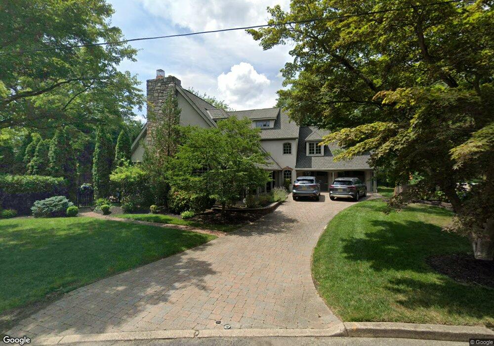
256 Moore Ln Haddonfield, NJ 08033
Estimated Value: $1,851,825 - $2,090,000
Studio
--
Bath
4,220
Sq Ft
$457/Sq Ft
Est. Value
About This Home
This home is located at 256 Moore Ln, Haddonfield, NJ 08033 and is currently estimated at $1,929,706, approximately $457 per square foot. 256 Moore Ln is a home located in Camden County with nearby schools including Haddonfield Memorial High School, Haddonfield Friends School, and Christ the King Regional School.
Ownership History
Date
Name
Owned For
Owner Type
Purchase Details
Closed on
Jun 27, 2024
Sold by
Kirchner Karen A
Bought by
Mergard Michael and Mergard Jenna
Current Estimated Value
Home Financials for this Owner
Home Financials are based on the most recent Mortgage that was taken out on this home.
Original Mortgage
$960,000
Interest Rate
6.89%
Mortgage Type
New Conventional
Purchase Details
Closed on
Apr 12, 2005
Sold by
William E Massey Est Of
Bought by
Kirchner Kircner J and Kirchner Karen A
Home Financials for this Owner
Home Financials are based on the most recent Mortgage that was taken out on this home.
Original Mortgage
$507,000
Interest Rate
6.01%
Create a Home Valuation Report for This Property
The Home Valuation Report is an in-depth analysis detailing your home's value as well as a comparison with similar homes in the area
Home Values in the Area
Average Home Value in this Area
Purchase History
| Date | Buyer | Sale Price | Title Company |
|---|---|---|---|
| Mergard Michael | $1,600,000 | Dream Home Abstract | |
| Kirchner Kircner J | $633,750 | -- |
Source: Public Records
Mortgage History
| Date | Status | Borrower | Loan Amount |
|---|---|---|---|
| Previous Owner | Mergard Michael | $960,000 | |
| Previous Owner | Kirchner Kircner J | $507,000 |
Source: Public Records
Tax History Compared to Growth
Tax History
| Year | Tax Paid | Tax Assessment Tax Assessment Total Assessment is a certain percentage of the fair market value that is determined by local assessors to be the total taxable value of land and additions on the property. | Land | Improvement |
|---|---|---|---|---|
| 2025 | $35,499 | $1,098,700 | $396,400 | $702,300 |
| 2024 | $35,027 | $1,098,700 | $396,400 | $702,300 |
Source: Public Records
Map
Nearby Homes
- 21 Estaugh Ave
- 33 Estaugh Ave
- 109 W Euclid Ave
- 341 Station Ave
- 63 Truman Ave
- 370 Station Ave
- 634 W Redman Ave
- 13 Wilkins Ave
- 351 Bellevue Ave
- 313 Woodland Ave
- 301 Bradshaw Ave
- 38 Birchall Dr
- 133 Windsor Ave
- 225 Spruce St
- 111 Ellis St
- 35 Colonial Ridge Dr
- 209 Haddonfield Commons
- 166 Ellis St
- 107 Colonial Ave
- 412 E Summit Ave
- 260 Moore Ln
- 252 Moore Ln
- 35 Chews Landing Rd
- 33 Chews Landing Rd
- 270 Moore Ln
- 251 Moore Ln
- 248 Moore Ln
- 152 Kings Hwy W
- 39 Chews Landing Rd
- 148 Kings Hwy W
- 241 Moore Ln
- 244 Moore Ln
- 200 Kings Hwy W
- 271 Moore Ln
- 144 Kings Hwy W
- 261 Moore Ln
- 231 Moore Ln
- 41 Chews Landing Rd
- 240 Moore Ln
- 26 Chews Landing Rd